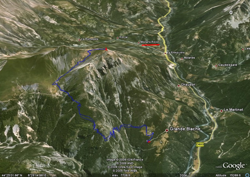
|
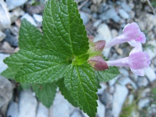
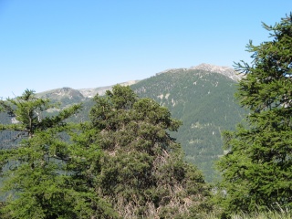
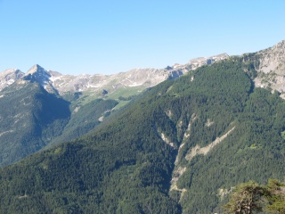
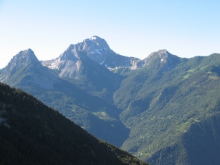
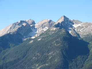
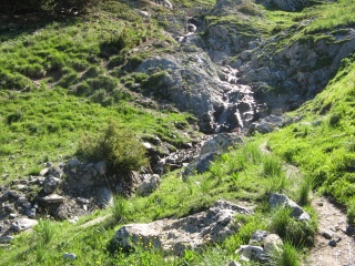
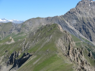
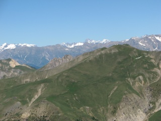
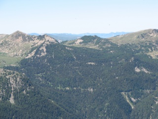
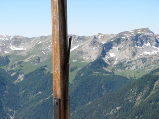
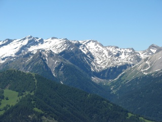
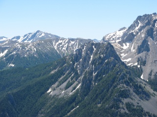
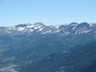
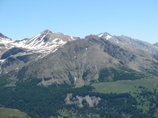
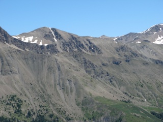
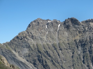
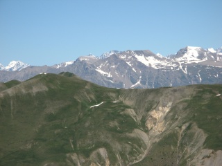
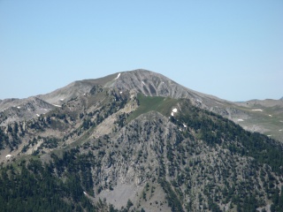
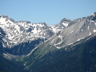
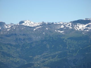
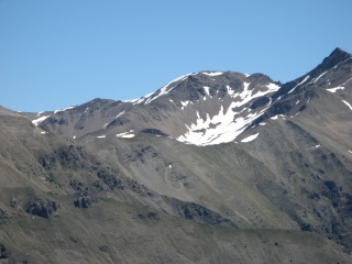
IMG_9305.JPG
2592x1944 - 1978 ko inconnue
|
|
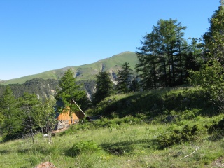
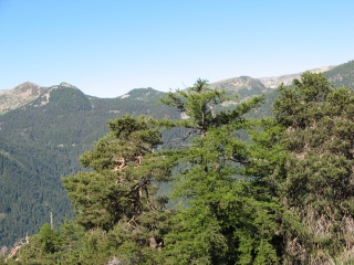
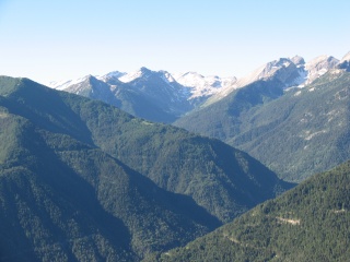
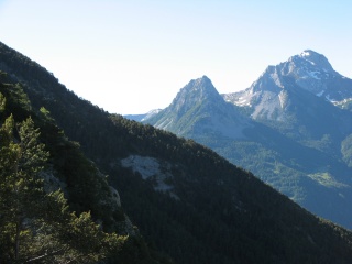
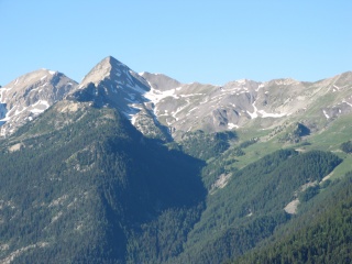
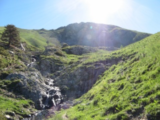
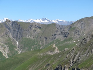
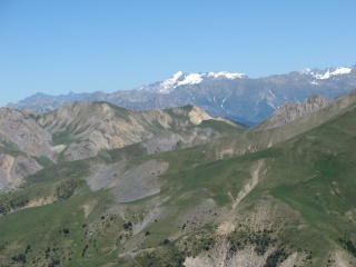
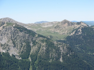
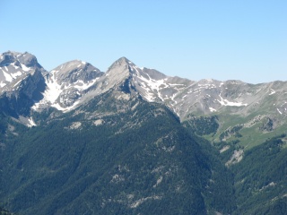
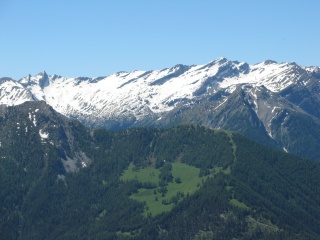
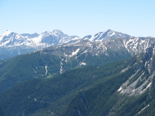
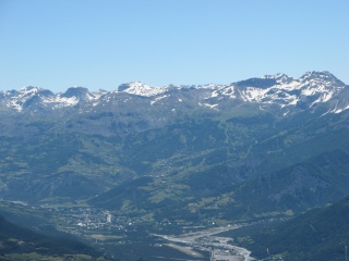
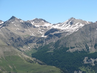
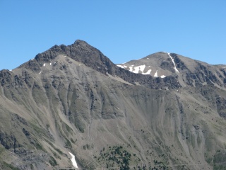
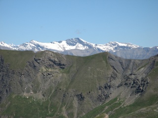
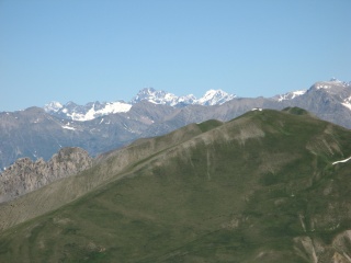
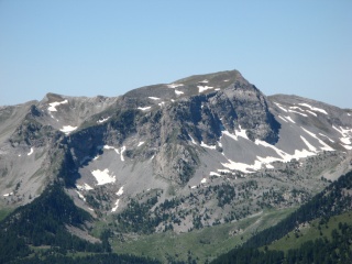
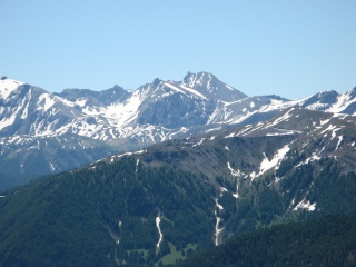
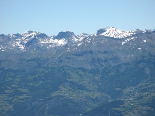
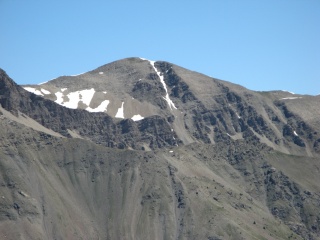
IMG_9306.JPG
2592x1944 - 1185 ko
|
|
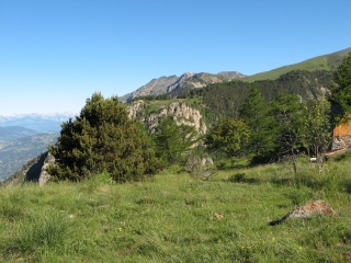
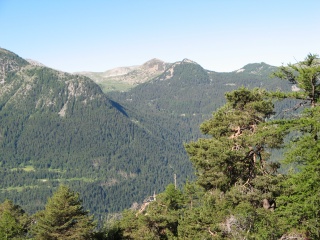
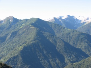
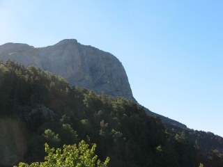
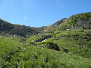
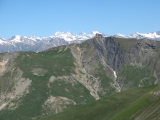
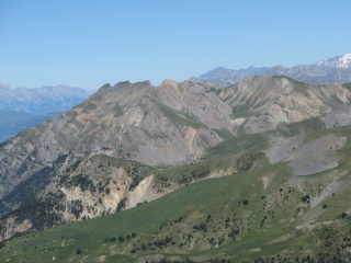
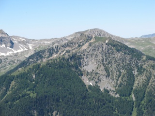
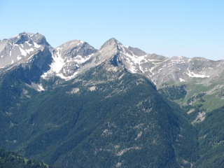
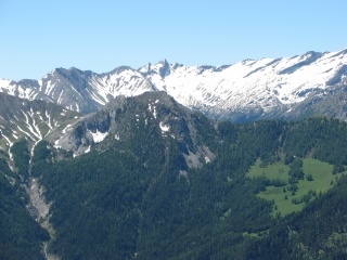
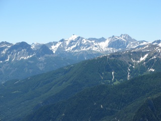
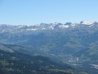
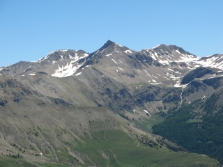
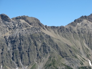
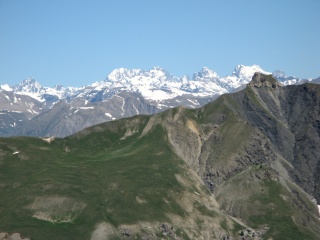
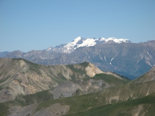
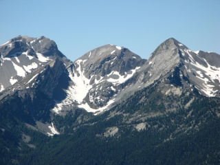
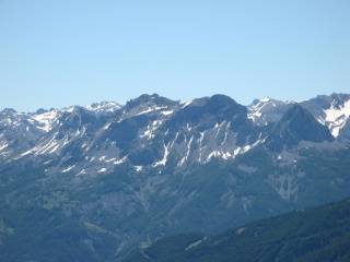
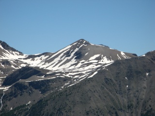
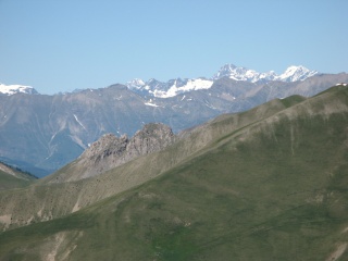
IMG_9307.JPG
2592x1944 - 1150 ko
|
|
|
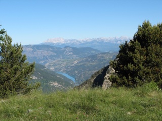
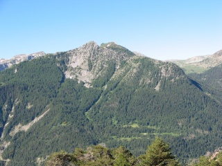
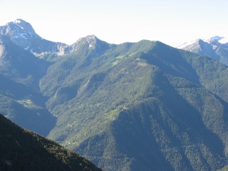
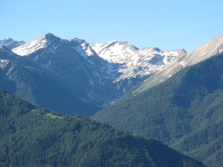
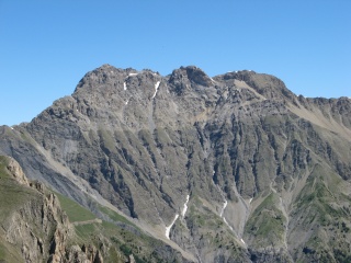
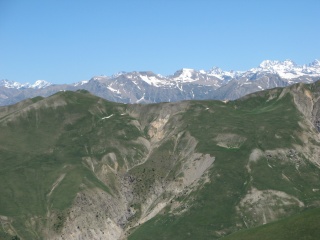
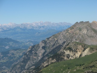
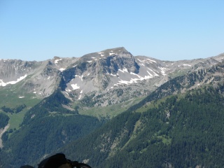
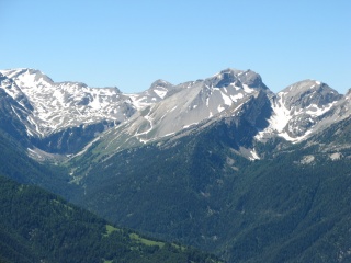
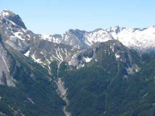
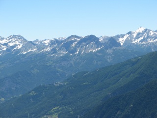
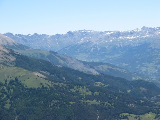
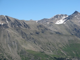
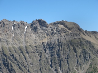
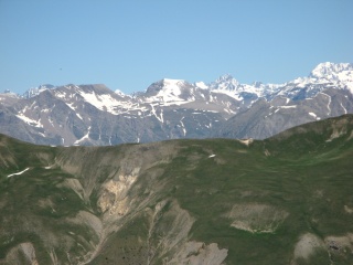
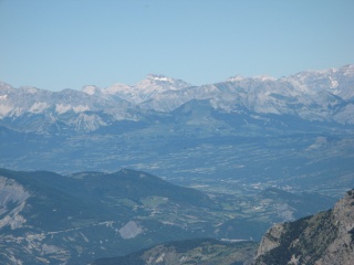
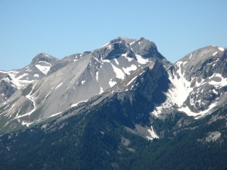
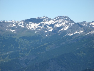
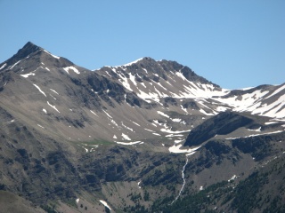
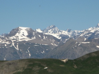
IMG_9308.JPG
2592x1944 - 1106 ko
|
|
IMG_9309.JPG
2592x1944 - 1235 ko
|
|
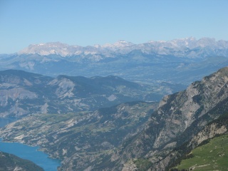
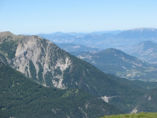
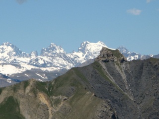
IMG_9311.JPG
2592x1944 - 1895 ko on arrive à Roche Juan
Granges
|
|
|
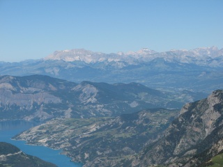
IMG_9312.JPG
2592x1944 - 1888 ko
|
|
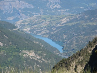
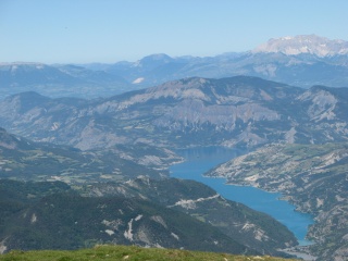
IMG_9313.JPG
2592x1944 - 1671 ko un bout de Serre-Ponçon
et Bure au fond
|
|
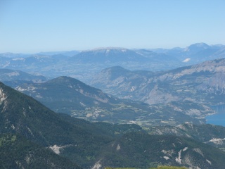
IMG_9314.JPG
2592x1944 - 1848 ko
|
|
|
IMG_9315.JPG
2592x1944 - 1848 ko
|
|
IMG_9316.JPG
2592x1944 - 1841 ko Le Laverq en face
|
|
IMG_9317.JPG
2592x1944 - 1567 ko Le Peyron
|
|
|
IMG_9318.JPG
2592x1944 - 1467 ko
|
|

IMG_9319.JPG
2592x1944 - 1348 ko
|
|
IMG_9320.JPG
2592x1944 - 1201 ko Le fond du Laverq vers le
Lac Lauseron
|
|
|
IMG_9321.JPG
2592x1944 - 1180 ko
|
|
IMG_9322.JPG
2592x1944 - 1126 ko
|
|
IMG_9323.JPG
2592x1944 - 1001 ko les différentes Séolanes
|
|
|
IMG_9324.JPG
2592x1944 - 981 ko
|
|
IMG_9325.JPG
2592x1944 - 905 ko
|
|
IMG_9326.JPG
2592x1944 - 1092 ko
|
|
|
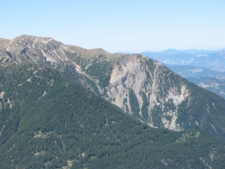
IMG_9327.JPG
2592x1944 - 1147 ko L'Aiguillette pointue au
centre et Le Dos de Chameau à sa gauche
|
|
IMG_9328.JPG
2592x1944 - 1196 ko
|
|
IMG_9329.JPG
2592x1944 - 1297 ko
|
|
|

IMG_9330.JPG
2592x1944 - 2259 ko on a viré de cap (Sud)
après les cabanes du plateau
|
|
IMG_9331.JPG
2592x1944 - 1890 ko
|
|
IMG_9332.JPG
2592x1944 - 2553 ko
|
|
|
IMG_9333.JPG
2592x1944 - 1868 ko
|
|
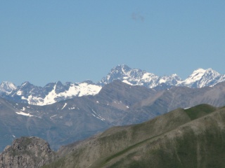
IMG_9334.JPG
2592x1944 - 1882 ko droit ( ou presque ) sur
notre sommet, la Tête est là-bas, au fond, à droite
|
|
IMG_9337.JPG
2592x1944 - 1545 ko On est au but, La
Montagnette à priori, plein Nord
|
|
|
IMG_9338.JPG
2592x1944 - 1726 ko long panorama de 360°
sens trigo
|
|
IMG_9339.JPG
2592x1944 - 1389 ko
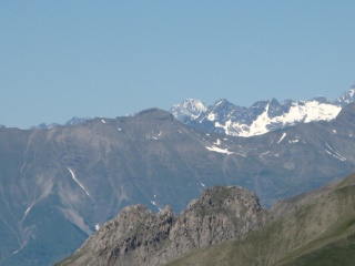
|
|
IMG_9340.JPG
2592x1944 - 1228 ko les Ecrins au fond
|
|
|
IMG_9341.JPG
2592x1944 - 1154 ko
|
|
IMG_9342.JPG
2592x1944 - 1072 ko
|
|
IMG_9343.JPG
2592x1944 - 1081 ko
|
|
|
IMG_9344.JPG
2592x1944 - 1135 ko
|
|
IMG_9345.JPG
2592x1944 - 1154 ko Dévoluy au fond au centre
|
|
IMG_9346.JPG
2592x1944 - 1177 ko
|
|
|
IMG_9347.JPG
2592x1944 - 1089 ko
|
|
IMG_9348.JPG
2592x1944 - 1130 ko Serre-Ponçon bien sûr
|
|
IMG_9349.JPG
2592x1944 - 1060 ko
|
|
|
IMG_9350.JPG
2592x1944 - 1193 ko
|
|
IMG_9351.JPG
2592x1944 - 1306 ko
|
|
IMG_9352.JPG
2592x1944 - 1239 ko
|
|
|
IMG_9353.JPG
2592x1944 - 1300 ko
|
|
IMG_9354.JPG
2592x1944 - 1299 ko
|
|
IMG_9355.JPG
2592x1944 - 1362 ko
|
|
|
IMG_9356.JPG
2592x1944 - 1332 ko
|
|
IMG_9357.JPG
2592x1944 - 1226 ko
|
|
IMG_9358.JPG
2592x1944 - 1100 ko vous voyez que l'on y est
!
|
|
|
IMG_9359.JPG
2592x1944 - 1206 ko
|
|
IMG_9360.JPG
2592x1944 - 1254 ko
|
|
IMG_9361.JPG
2592x1944 - 1185 ko
|
|
|
IMG_9362.JPG
2592x1944 - 1137 ko
|
|
IMG_9363.JPG
2592x1944 - 1179 ko
|
|
IMG_9364.JPG
2592x1944 - 1269 ko
|
|
|
IMG_9365.JPG
2592x1944 - 1292 ko
|
|

IMG_9366.JPG
2592x1944 - 1136 ko
|
|
IMG_9367.JPG
2592x1944 - 1339 ko
|
|
|
IMG_9368.JPG
2592x1944 - 1179 ko
|
|
IMG_9369.JPG
2592x1944 - 1026 ko
|
|
IMG_9370.JPG
2592x1944 - 1026 ko
|
|
|
IMG_9371.JPG
2592x1944 - 1020 ko
|
|
IMG_9372.JPG
2592x1944 - 1050 ko
|
|
IMG_9373.JPG
2592x1944 - 1030 ko
|
|
|
IMG_9374.JPG
2592x1944 - 1069 ko
|
|

IMG_9375.JPG
2592x1944 - 1120 ko
|
|
IMG_9376.JPG
2592x1944 - 1195 ko
|
|
|
IMG_9377.JPG
2592x1944 - 1246 ko
|
|
IMG_9378.JPG
2592x1944 - 1202 ko
|
|
IMG_9379.JPG
2592x1944 - 1243 ko fin du panorama mais 2d
tour en zoomant
|
|
|
IMG_9380.JPG
2592x1944 - 1268 ko c'est reparti mais sur
les sommets seulement
|
|
IMG_9381.JPG
2592x1944 - 1294 ko
|
|
IMG_9382.JPG
2592x1944 - 1499 ko
|
|
|
IMG_9383.JPG
2592x1944 - 1490 ko
|
|
IMG_9384.JPG
2592x1944 - 1462 ko
|
|
IMG_9385.JPG
3072x2304 - 3011 ko
|
|
|

IMG_9386.JPG
3072x2304 - 3046 ko Ecrins
|
|
IMG_9387.JPG
3072x2304 - 2940 ko
|
|
IMG_9388.JPG
3072x2304 - 2796 ko
|
|
|
IMG_9389.JPG
3072x2304 - 2787 ko
|
|
IMG_9390.JPG
3072x2304 - 2704 ko
|
|
IMG_9391.JPG
3072x2304 - 2670 ko
|
|
|
IMG_9392.JPG
3072x2304 - 2573 ko
|
|
IMG_9393.JPG
3072x2304 - 3107 ko
|
|
IMG_9394.JPG
3072x2304 - 3052 ko
|
|
|

IMG_9395.JPG
3072x2304 - 2818 ko
|
|
IMG_9396.JPG
3072x2304 - 3013 ko
|
|
IMG_9397.JPG
3072x2304 - 2867 ko
|
|
|
IMG_9398.JPG
3072x2304 - 2901 ko
|
|

IMG_9399.JPG
3072x2304 - 2875 ko Les 3 évêchés
|
|
IMG_9400.JPG
3072x2304 - 2791 ko
|
|
|
IMG_9401.JPG
3072x2304 - 2505 ko
|
|
IMG_9402.JPG
3072x2304 - 2684 ko vers le Chapeau de
Gendarme, les Brecs et Enchastrayes
|
|
IMG_9403.JPG
3072x2304 - 2561 ko
|
|
|
IMG_9404.JPG
3072x2304 - 2605 ko
|
|
IMG_9405.JPG
3072x2304 - 2784 ko
|
|
IMG_9406.JPG
3072x2304 - 3047 ko vers l'Aupillon
|
|
|

IMG_9407.JPG
3072x2304 - 2917 ko
|
|
IMG_9408.JPG
3072x2304 - 2893 ko
|
|
IMG_9409.JPG
3072x2304 - 2974 ko Pic Silhourais
|
|
|

IMG_9410.JPG
3072x2304 - 3052 ko Le Pouzenc
|
|
IMG_9411.JPG
3072x2304 - 2680 ko
|
|
IMG_9412.JPG
3072x2304 - 1812 ko
|
|
|

IMG_9413.JPG
3072x2304 - 1906 ko
|
|
IMG_9414.JPG
3072x2304 - 1947 ko
|
|
IMG_9415.JPG
3072x2304 - 1761 ko
|
|
|
IMG_9416.JPG
3072x2304 - 1766 ko fin du 2d tour zoomé
|
|
|


 _Guest book