|
IMG_0392.JPG
2592x1944 - 869 ko La
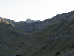
Cucumelle au centre là-haut, au dernier plan, vue du parking.
|
|
IMG_0393.JPG
2592x1944 - 957 ko
|
|
IMG_0394.JPG
2592x1944 - 802 ko
|
|
|
IMG_0395.JPG
2592x1944 - 1316 ko
|
|
IMG_0396.JPG
2592x1944 - 1284 ko
|
|
IMG_0397.JPG
2592x1944 - 1209 ko
|
|
|
IMG_0398.JPG
2592x1944 - 1172 ko
|
|
IMG_0399.JPG
2592x1944 - 1042 ko
|
|
IMG_0400.JPG
2592x1944 - 1437 ko
|
|
|
IMG_0401.JPG
2592x1944 - 834 ko
|
|
IMG_0402.JPG
2592x1944 - 2477 ko
|
|
IMG_0403.JPG
2592x1944 - 1136 ko
|
|
|
IMG_0404.JPG
2592x1944 - 1599 ko
|
|
IMG_0405.JPG
2592x1944 - 1426 ko
|
|
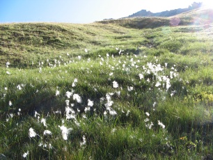
IMG_0406.JPG
2592x1944 - 2362 ko Linaigrettes
à feuilles étroites
|
|
|
IMG_0407.JPG
2592x1944 - 2588 ko
|
|
IMG_0412.JPG
2592x1944 - 1024 ko Photo
refaite 4 fois mais je renonce, il y a trop de vent !
|
|
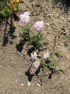
IMG_0413.JPG
1944x2592 - 2395 ko Achillée
millefeuille à fleurs rouges, on voit plus souvent des blanches
|
|
|
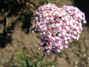
IMG_0414.JPG
2592x1944 - 1049 ko
|
|
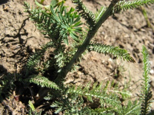
IMG_0415.JPG
2592x1944 - 1441 ko
|
|
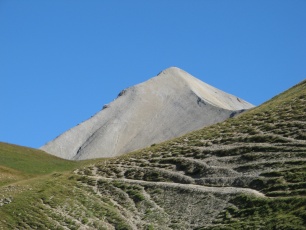
IMG_0416.JPG
2592x1944 - 1383 ko Là,
on la touche ….... PRESQUE
|
|
|
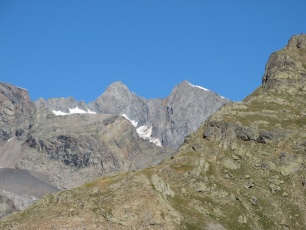
IMG_0417.JPG
2592x1944 - 1434 ko
|
|
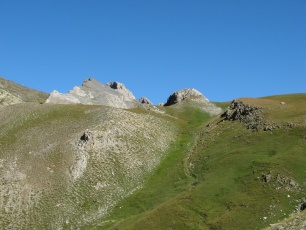
IMG_0418.JPG
2592x1944 - 1548 ko
|
|
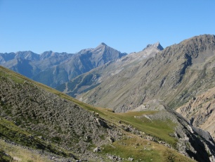
IMG_0419.JPG
2592x1944 - 1661 ko Peut
– être la Pointe de l'Aiglière ? ( la plus pointue, au centre)
|
|
|
IMG_0420.JPG
2592x1944 - 1467 ko
|
|
IMG_0421.JPG
2592x1944 - 1479 ko
|
|
IMG_0422.JPG
1944x2592 - 2161 ko
|
|
|
IMG_0423.JPG
1944x2592 - 1010 ko
|
|
IMG_0424.JPG
2592x1944 - 1515 ko
|
|
IMG_0425.JPG
2592x1944 - 1417 ko
|
|
|
IMG_0426.JPG
2592x1944 - 1688 ko
|
|
IMG_0427.JPG
2592x1944 - 1634 ko
|
|
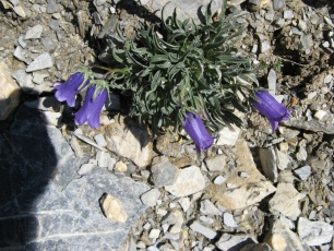
IMG_0428.JPG
2592x1944 - 1717 ko Je
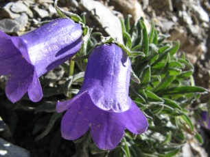
n'en ai jamais vues de si grosses, de campanules !
|
|
|
IMG_0429.JPG
2592x1944 - 1200 ko
|
|
IMG_0430.JPG
2592x1944 - 1610 ko
|
|
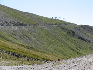
IMG_0431.JPG
2592x1944 - 1875 ko Là
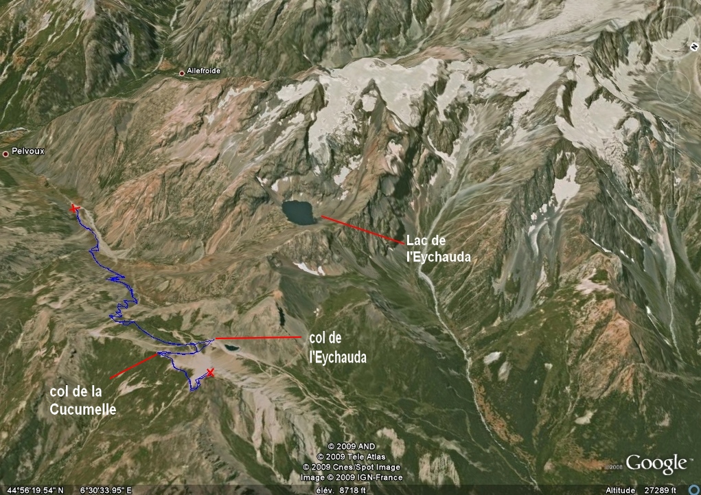
haut, le Col de la Cucumelle
|
|
|
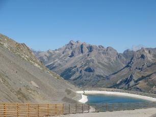
IMG_0432.JPG
2592x1944 - 1308 ko Ici
on est au Col de l'Eychauda, vers la Tête de Colombe et le Grand
Galibier au centre et gauche ?
|
|
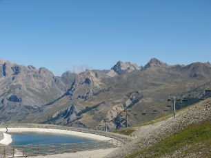
IMG_0433.JPG
2592x1944 - 1282 ko au
centre gauche, l'Aiguillette du Lauzet et à droite au fond : la Pointe
des Cerces peut – être ?
|
|
IMG_0434.JPG
2592x1944 - 1622 ko
|
|
|
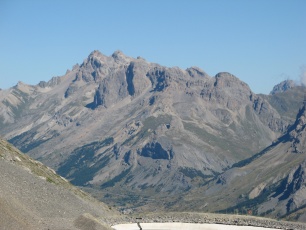
IMG_0435.JPG
2592x1944 - 1281 ko Vue
au Nord
|
|
IMG_0436.JPG
2592x1944 - 1235 ko
|
|
IMG_0437.JPG
2592x1944 - 1239 ko
|
|
|
IMG_0438.JPG
2592x1944 - 1217 ko
|
|
IMG_0439.JPG
2592x1944 - 1445 ko
|
|
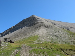
IMG_0440.JPG
2592x1944 - 1587 ko La
Cucumelle
|
|
|
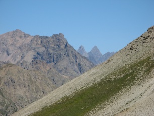
IMG_0441.JPG
2592x1944 - 1306 ko On
est au Col de la Cucumelle, les aiguilles d'Arve dans l'échancrure
|
|
IMG_0442.JPG
2592x1944 - 1375 ko
|
|
IMG_0443.JPG
2592x1944 - 1588 ko
|
|
|
IMG_0444.JPG
2592x1944 - 1772 ko
|
|
IMG_0445.JPG
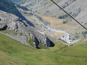
2592x1944 - 1730 ko Le
parking est là-bas, en bas
|
|
IMG_0446.JPG
2592x1944 - 1243 ko
|
|
|
IMG_0447.JPG
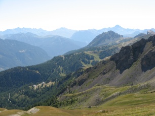
2592x1944 - 1142 ko Au
centre droit, le Prorel à Serre - Chevalier
|
|
IMG_0448.JPG
2592x1944 - 999 ko
|
|
IMG_0449.JPG
2592x1944 - 1105 ko
|
|
|
IMG_0450.JPG
2592x1944 - 1244 ko
|
|
IMG_0451.JPG
2592x1944 - 1309 ko
|
|
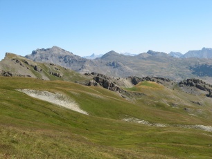
IMG_0452.JPG
2592x1944 - 1336 ko
|
|
|
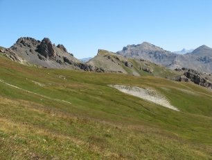
IMG_0453.JPG
2592x1944 - 1522 ko
|
|
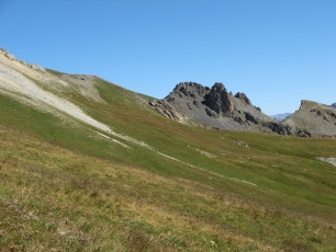
IMG_0454.JPG
2592x1944 - 1592 ko
|
|
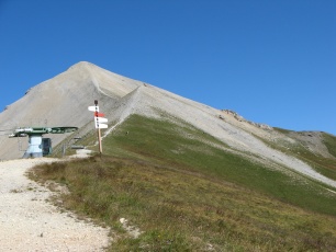
IMG_0455.JPG
2592x1944 - 1494 ko Il
nous reste juste cela à faire
|
|
|
IMG_0456.JPG
2592x1944 - 1268 ko
|
|
IMG_0457.JPG
2592x1944 - 1067 ko
|
|
IMG_0458.JPG
2592x1944 - 988 ko
|
|
|
IMG_0459.JPG
2592x1944 - 922 ko
|
|
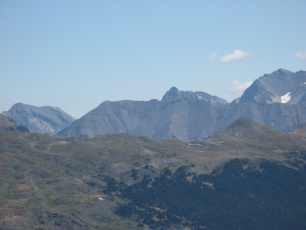
IMG_0460.JPG
2592x1944 - 890 ko
|
|
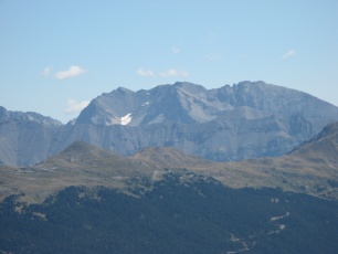
IMG_0461.JPG
2592x1944 - 881 ko
|
|
|
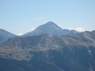
IMG_0462.JPG
2592x1944 - 865 ko Le
Chaberton
|
|
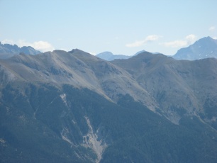
IMG_0463.JPG
2592x1944 - 885 ko
|
|
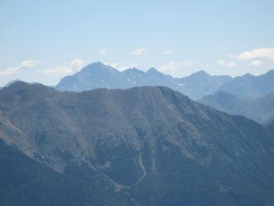
IMG_0464.JPG
2592x1944 - 831 ko
|
|
|
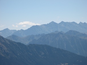
IMG_0465.JPG
2592x1944 - 786 ko
|
|
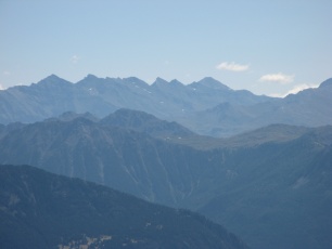
IMG_0466.JPG
2592x1944 - 792 ko
|
|
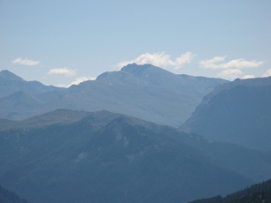
IMG_0467.JPG
2592x1944 - 767 ko
|
|
|
IMG_0468.JPG
2592x1944 - 778 ko
|
|
IMG_0469.JPG
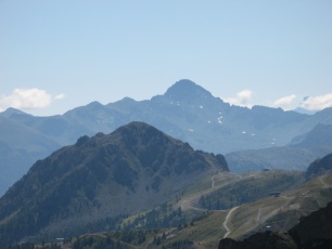
2592x1944 - 820 ko Le
Prorel de plus près et vers le col d'Izoard derrière, le Pic de
Rochebrune
|
|
IMG_0470.JPG
2592x1944 - 789 ko
|
|
|
IMG_0471.JPG
2592x1944 - 1015 ko
|
|
IMG_0472.JPG
2592x1944 - 1428 ko
|
|
IMG_0473.JPG
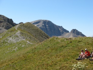
2592x1944 - 1655 ko On
quitte le Col...
|
|
|
IMG_0474.JPG
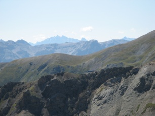
2592x1944 - 1006 ko On
est au pied Est de la Cucumelle, au Col du Grand pré
|
|
IMG_0475.JPG
2592x1944 - 903 ko
|
|
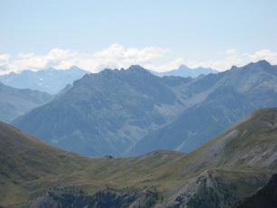
IMG_0476.JPG
2592x1944 - 862 ko
|
|
|
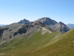
IMG_0477.JPG
2592x1944 - 1220 ko
|
|
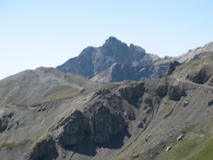
IMG_0478.JPG
2592x1944 - 1243 ko
|
|
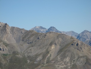
IMG_0479.JPG
2592x1944 - 1028 ko Vers
la Roche Bernaude
|
|
|
IMG_0480.JPG
2592x1944 - 1478 ko
|
|
IMG_0481.JPG
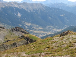
2592x1944 - 1763 ko A
gauche en haut, le Fort de Granon
|
|
IMG_0482.JPG
2592x1944 - 1369 ko
|
|
|
IMG_0483.JPG
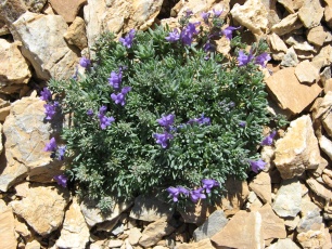
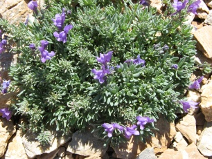
2592x1944 - 2039 ko On
dirait un cousin du Linaire des Alpes, sans orange
|
|
IMG_0484.JPG
2592x1944 - 1945 ko
|
|
IMG_0486.JPG
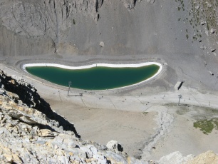
2592x1944 - 1563 ko Enfin
au sommet après avoir laissé nos sacs plus bas pour le repas, à venir
avec impatience...
|
|
|
IMG_0487.JPG
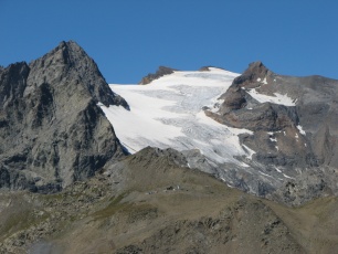
2592x1944 - 1330 ko Glacier
de Séguret Foran (avec le lac à ses pieds)
|
|
IMG_0488.JPG
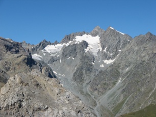
2592x1944 - 1429 ko montagne
des Agneaux
|
|
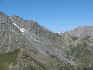
IMG_0489.JPG
2592x1944 - 1265 ko
|
|
|
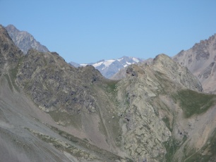
IMG_0490.JPG
2592x1944 - 1194 ko Va
savoir ! sans doute le massif de La Meije
|
|
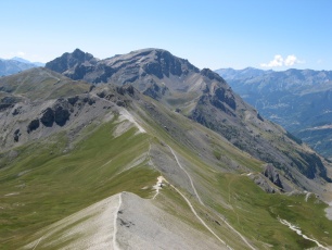
IMG_0491.JPG
2592x1944 - 1300 ko Le
col de Cucumelle au centre bas et La Condamine au sommet arrondi
|
|
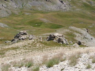
IMG_0492.JPG
2592x1944 - 2009 ko Nos
sacs sont dans ces cailloux et on chouffe les bidasses qui passent au
col...
|
|
|
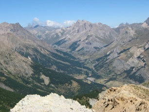
IMG_0493.JPG
2592x1944 - 1500 ko La
route Briançon - Grenoble
|
|
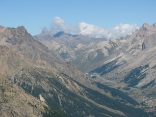
IMG_0494.JPG
2592x1944 - 1218 ko Les
aiguilles d'Arve s'enrhument
|
|
IMG_0495.JPG
2592x1944 - 1550 ko
|
|
|
IMG_0496.JPG
2592x1944 - 1056 ko
|
|
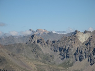
IMG_0497.JPG
2592x1944 - 1034 ko Vers
le Mont Thabor
|
|
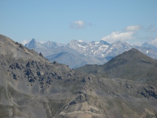
IMG_0498.JPG
2592x1944 - 1070 ko au
Nord – est, vers l'Albaron ?
|
|
|
IMG_0499.JPG
2592x1944 - 1168 ko
|
|
IMG_0500.JPG
2592x1944 - 1066 ko
|
|
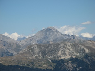
IMG_0502.JPG
2592x1944 - 990 ko Le
Chaberton
|
|
|
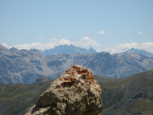
IMG_0503.JPG
2592x1944 - 942 ko
|
|
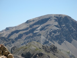
IMG_0504.JPG
2592x1944 - 1146 ko La
Condamine vue de près
|
|
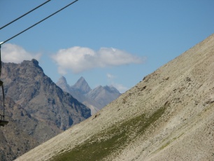
IMG_0505.JPG
2592x1944 - 1247 ko
|
|
|
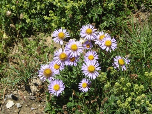
IMG_0506.JPG
2592x1944 - 2103 ko En
redescendant, de beaux asters
|
|
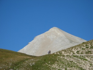
IMG_0507.JPG
2592x1944 - 1104 ko Bye
bye ...
|
|
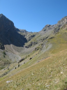
IMG_0508.JPG
1944x2592 - 1582 ko Le
vallon qui mène au Lac, fait jadis
|
|
|
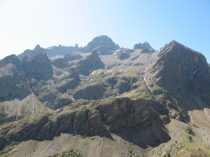
IMG_0509.JPG
2592x1944 - 1288 ko Il
fait chaud et ça fond !
|
|
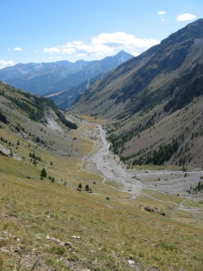
IMG_0510.JPG
1944x2592 - 1524 ko
|
|
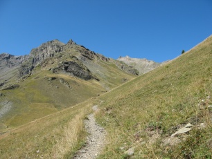
IMG_0511.JPG
2592x1944 - 1817 ko
|
|
|
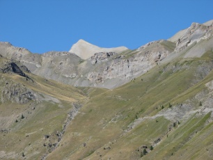
IMG_0512.JPG
2592x1944 - 1254 ko
|
|
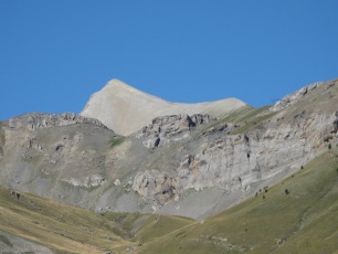
IMG_0513.JPG
2592x1944 - 1231 ko Ouf
! Repos bien mérité
|
|
|



 _Guest book