|

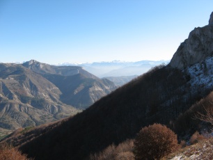
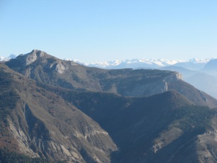
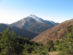
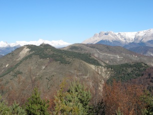
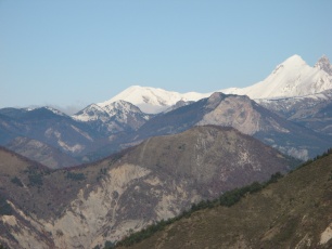
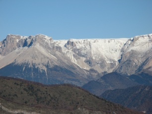
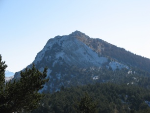
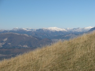
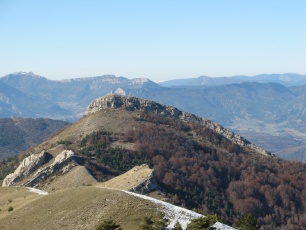
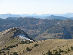
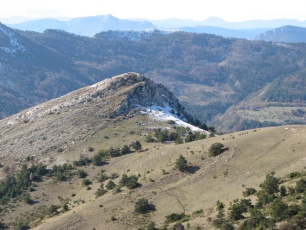
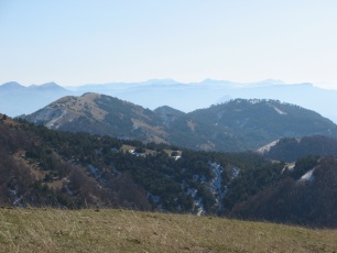
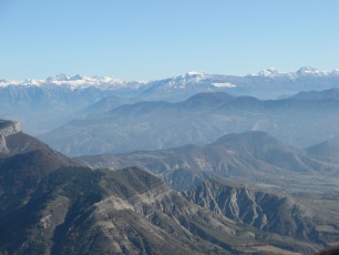
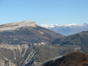
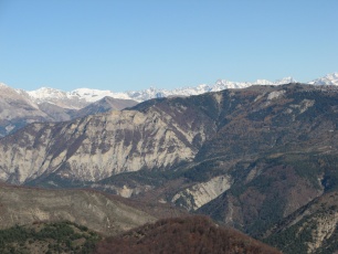
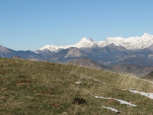
IMG_9828_encas.JPG
2592x1944
- 1326 ko Rocher
Barras
|
|
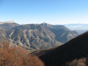
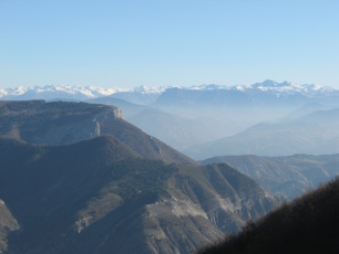
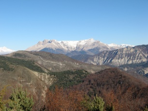
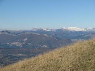
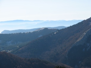
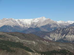
IMG_9829.JPG
2592x1944
- 1033 ko
|
|
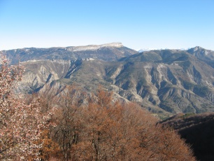
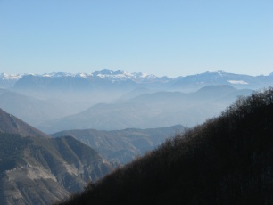
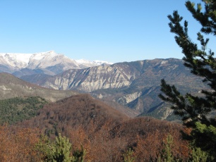
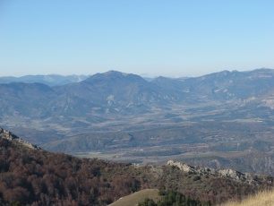
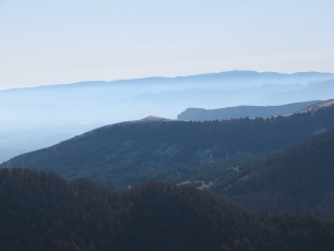
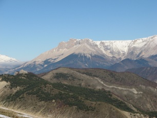
IMG_9830.JPG
2592x1944
- 1215 ko
|
|
|
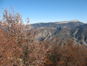
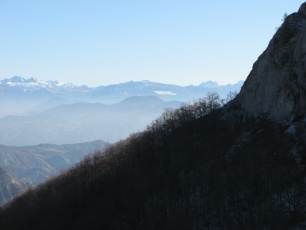
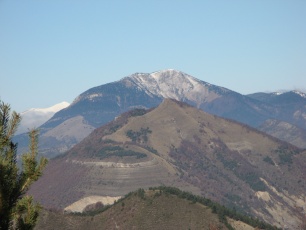
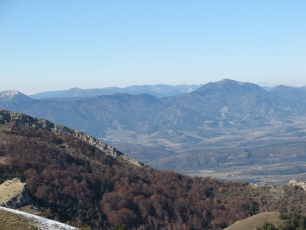
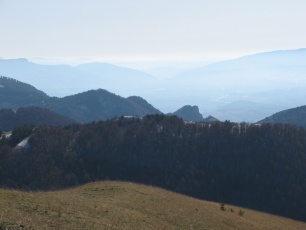
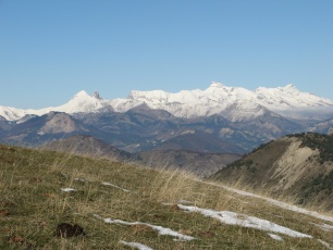
IMG_9831.JPG
2592x1944
- 1747 ko
|
|
IMG_9832.JPG
2592x1944
- 2039 ko
|
|
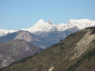
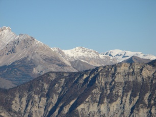
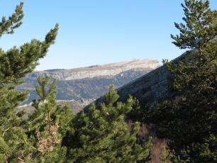
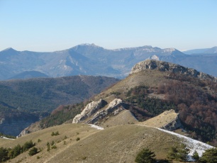
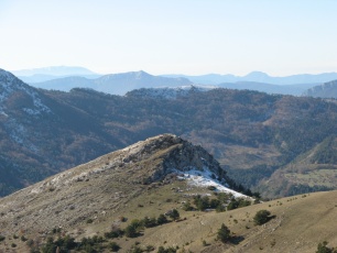
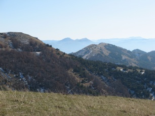
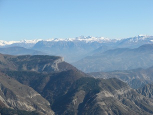
IMG_9833.JPG
2592x1944
- 977 ko Céüsette
|
|
|
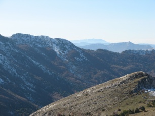
IMG_9834.JPG
2592x1944
- 837 ko
|
|
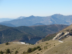
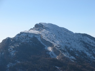
IMG_9835.JPG
2592x1944
- 776 ko
|
|
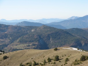
IMG_9836.JPG
2592x1944
- 833 ko
|
|
|
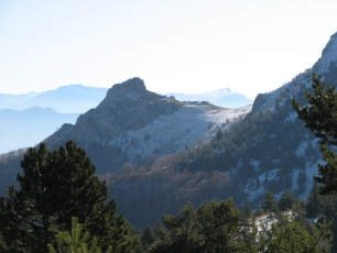
IMG_9837_au
col.JPG
2592x1944 - 1384 ko Aujour
|
|
IMG_9838.JPG
2592x1944
- 1146 ko
|
|
IMG_9839_avant
sommet.JPG
2592x1944 - 1449 ko
|
|
|
IMG_9840.JPG
2592x1944
- 1415 ko
|
|
IMG_9841.JPG
2592x1944
- 1464 ko
|
|
IMG_9842.JPG
2592x1944
- 1341 ko
|
|
|
IMG_9843.JPG
2592x1944
- 1472 ko
|
|
IMG_9844.JPG
2592x1944
- 1016 ko Durbonas
au fond, derrière l'Aup ?
|
|
IMG_9845.JPG
2592x1944
- 1028 ko
|
|
|
IMG_9846.JPG
2592x1944
- 1074 ko Roc
et Pic de Garnesier
|
|

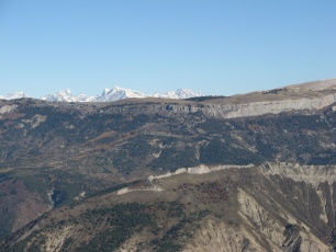
IMG_9847.JPG
2592x1944
- 1091 ko Du
col des Aiguilles au Grand ferand
|
|
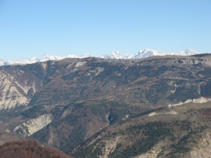
IMG_9848.JPG
2592x1944
- 1024 ko du
Grand Ferrand à l'Obiou
|
|
|
IMG_9849.JPG
2592x1944
- 953 ko
|
|
IMG_9850.JPG
2592x1944
- 1108 ko Bure
|
|
IMG_9851.JPG
2592x1944
- 1047 ko
|
|
|
IMG_9852.JPG
2592x1944
- 1135 ko
|
|
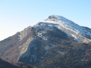
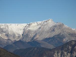
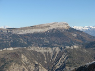
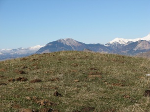
IMG_9853.JPG
2592x1944
- 973 ko Rocher
Barras
|
|
IMG_9854.JPG
2592x1944
- 936 ko Rocher
La Croix
|
|
|
IMG_9855.JPG
2592x1944
- 1798 ko
|
|
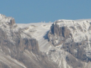
IMG_9856.JPG
2592x1944
- 627 ko Les
paraboles de Bure
|
|
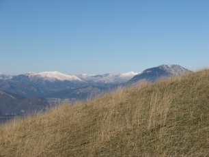
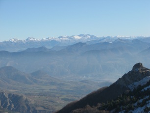
IMG_9857_après
repas.JPG
2592x1944 - 1440 ko je
dirais Toussière à gauche et Jocou à droite,
enneigés
|
|
|
IMG_9858.JPG
2592x1944
- 1373 ko un
bout du Glandasse à gauche
|
|
IMG_9859.JPG
2592x1944
- 1272 ko crêtes
de Luset à gauche derrière Longeagne
|
|

IMG_9860.JPG
2592x1944
- 1190 ko Longeagne
et Marjaries à Aspres sur Buëch
|
|
|

IMG_9861.JPG
2592x1944
- 1158 ko
|
|
IMG_9862.JPG
2592x1944
- 1071 ko les
3 becs (drôme) apparaissent à peine centre gauche,
derrière Banne
|
|
IMG_9863.JPG
2592x1944
- 1064 ko direction
Praloubeau
|
|
|
IMG_9864.JPG
2592x1944
- 1251 ko
|
|
IMG_9865.JPG
2592x1944
- 1276 ko derrière
la Plane, centre droit, Pilon ( La Piarre ) et Duffre, c. g.
|
|
IMG_9866.JPG
2592x1944
- 1187 ko Bonnet
Rouge centre gauche, Maraysse et Raton à sa gauche
|
|
|
IMG_9867.JPG
2592x1944
- 1136 ko Risou
caché au centre
|
|
IMG_9868.JPG
2592x1944
- 1246 ko Arambre
(Serres) milieu droit, Vanige à l'horizon gauche
|
|
IMG_9869.JPG
2592x1944
- 1227 ko Bec
de Beaumont, milieu gauche
|
|
|
IMG_9870.JPG
2592x1944
- 1092 ko Ventoux
à l'horizon
|
|
IMG_9871.JPG
2592x1944
- 958 ko Sommet
d'Aujour
|
|
IMG_9872.JPG
2592x1944
- 1535 ko
|
|
|
IMG_9873.JPG
2592x1944
- 740 ko
|
|
IMG_9874.JPG
2592x1944
- 748 ko vers
Lure
|
|
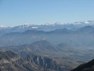
IMG_9875.JPG
2592x1944
- 830 ko vallée
de la Durance dans la brume, vers Sisteron
|
|
|

IMG_9876.JPG
2592x1944
- 960 ko Gache
à l'horizon, dans la brume
|
|
IMG_9877.JPG
2592x1944
- 1083 ko
|
|
IMG_9878.JPG
2592x1944
- 1293 ko axe
Jouère ---- Couard
|
|
|
IMG_9879.JPG
2592x1944
- 863 ko Estrop
au centre
|
|
IMG_9880.JPG
2592x1944
- 934 ko petite
et grande Séolanes
|
|
IMG_9881.JPG
2592x1944
- 1011 ko Dormillouse,
centre droit, avec son rectangle caractéristique
|
|
|
IMG_9882.JPG
2592x1944
- 1014 ko Morgon,
centre gauche
|
|
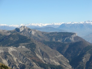
IMG_9883.JPG
2592x1944
- 1118 ko ''Céüsette''
au premier plan
|
|

IMG_9884.JPG
2592x1944
- 1227 ko à
gauche de Céüsette, Mont Guillaume (Embrun) et
Garabrut ?
|
|
|
IMG_9885.JPG
2592x1944
- 1250 ko
|
|
IMG_9886.JPG
2592x1944
- 1197 ko à
ras de Céüse : direction des Piniers et Mourre -
Froid
|
|
IMG_9887.JPG
2592x1944
- 1244 ko Céüse
|
|
|
IMG_9888.JPG
2592x1944
- 1226 ko Chaillol
qui émerge
|
|
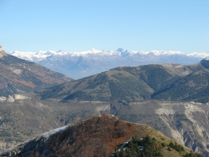
IMG_9889.JPG
2592x1944
- 1231 ko Sirac
en extrême droite
|
|
IMG_9890.JPG
2592x1944
- 1196 ko Olan
et Cime du Vallon à droite ?
|
|
|

IMG_9891.JPG
2592x1944
- 1196 ko Ras
de Bec bien blanc, col de Rabou caché à son pied,
col de Conode en vue
|
|
IMG_9892.JPG
2592x1944
- 1189 ko Pic
de Bure
|
|
IMG_9893.JPG
2592x1944
- 1111 ko Combe
deMai
|
|
|

IMG_9894.JPG
2592x1944
- 1371 ko le
Chauvet sous le Gd Ferrand
|
|
IMG_9895.JPG
2592x1944
- 1468 ko les
Ormans à droite en avant de Garnesier
|
|
IMG_9896.JPG
2592x1944
- 1603 ko
|
|
|
IMG_9897.JPG
2592x1944
- 1688 ko retour
à Durbonas
|
|
|


 _Guest book