|
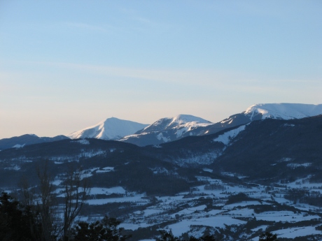
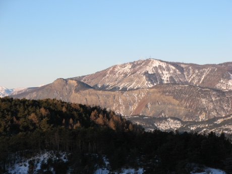
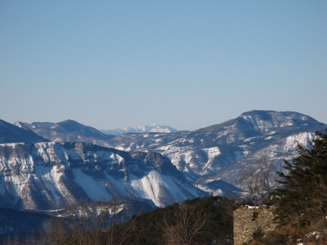
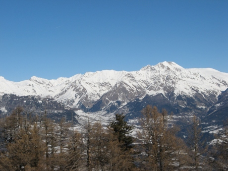
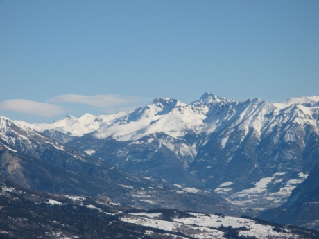
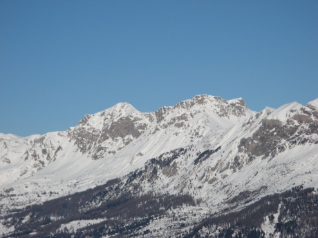
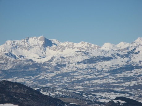
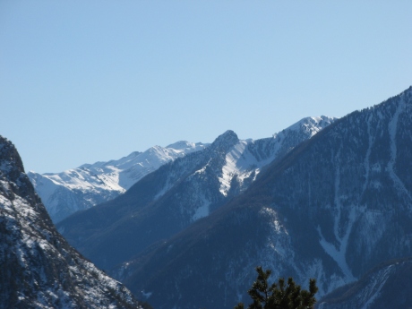
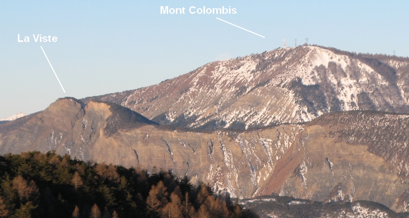
IMG_0330.JPG
2592x1944
- 936 ko Le
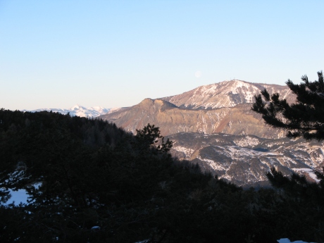
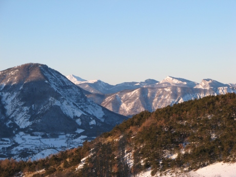
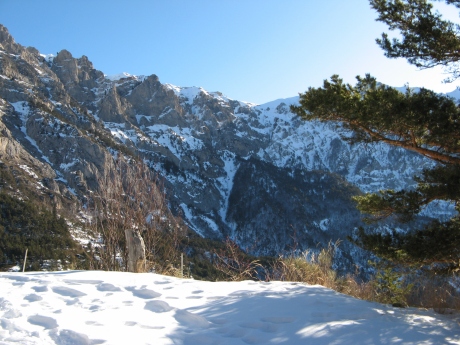
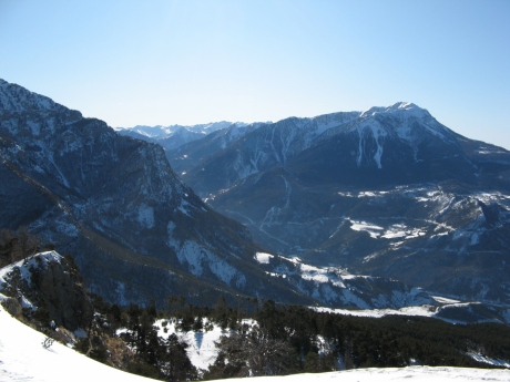
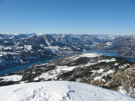
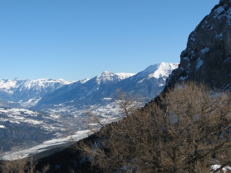
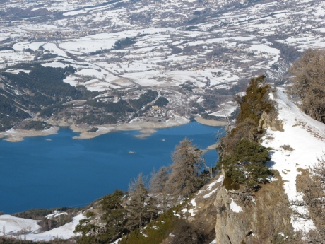
Mont Colombis, on devine les émetteurs, avec à sa
gauche en contre-bas La Viste
|
|
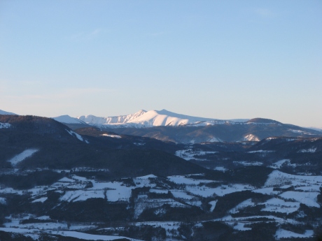
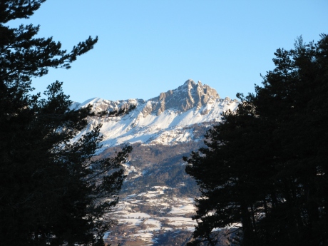
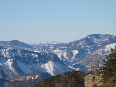
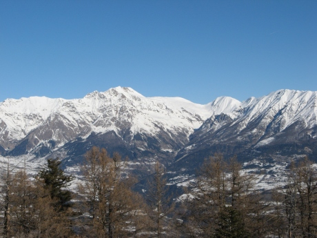
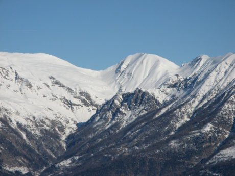
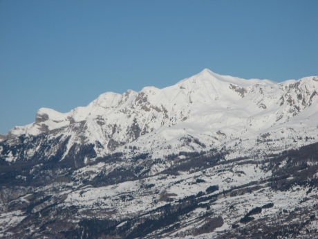
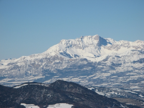
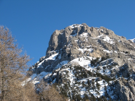
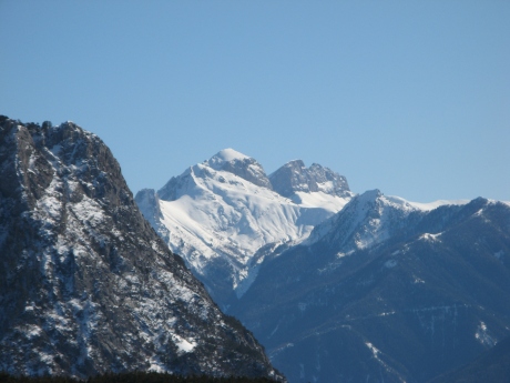
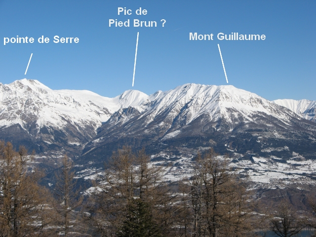
IMG_0331.JPG
2592x1944
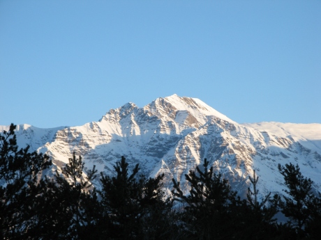
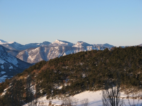
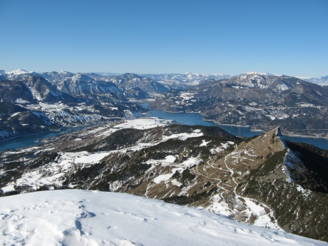
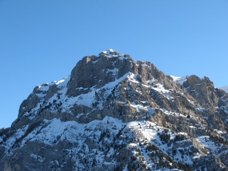
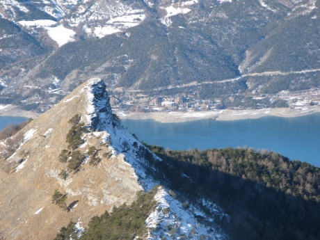
- 1060 ko la
plus haute : la Pointe de Serre
|
|
|
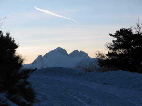
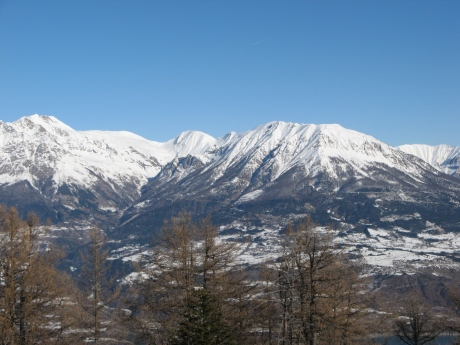
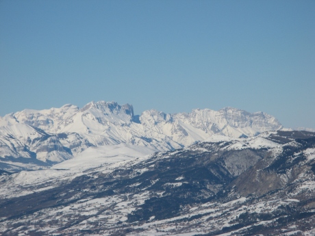
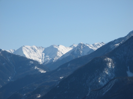
IMG_0332.JPG
2592x1944
- 1116 ko
|
|
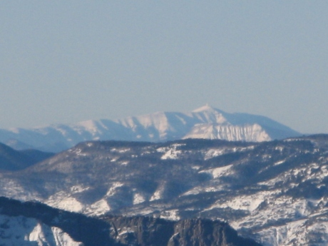
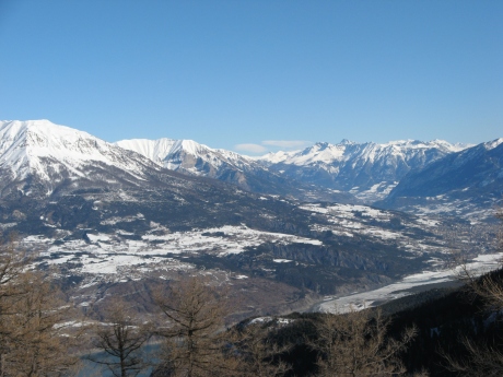
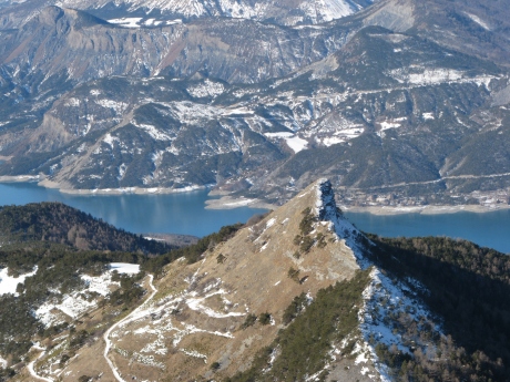
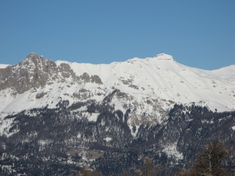
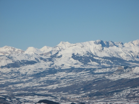
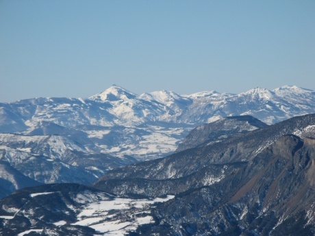
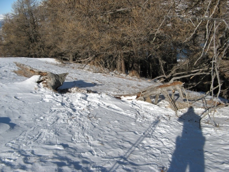
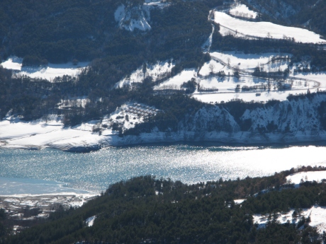
IMG_0333.JPG
2592x1944
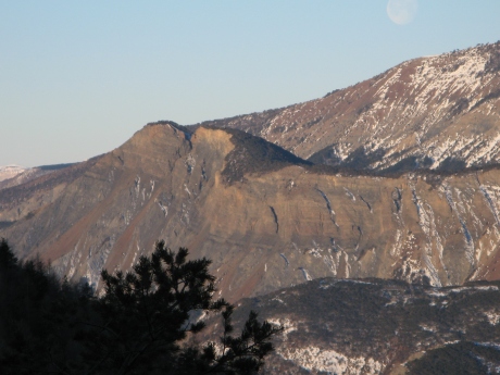
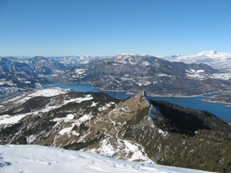
- 1215 ko la
Viste
|
|
|
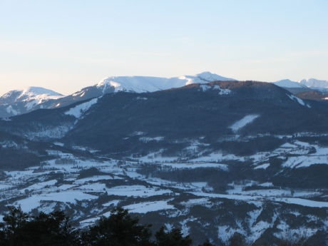
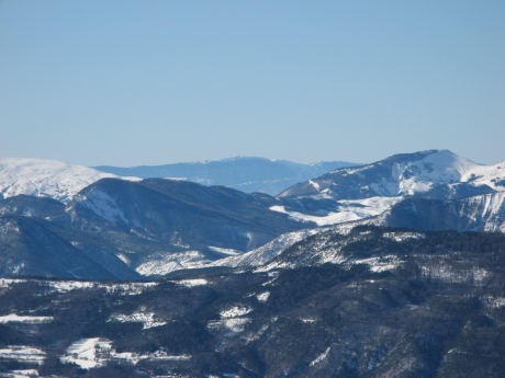
IMG_0335.JPG
2592x1944
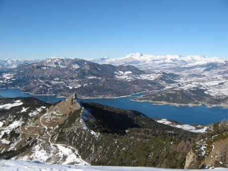
- 887 ko le
Blayeul au fond à gauche, Clot de Bouc à priori et
à droite un bout de Chabanon
|
|
IMG_0336.JPG
2592x1944
- 972 ko Chabanon
|
|
|
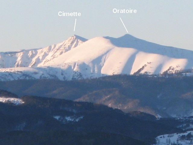
IMG_0337.JPG
2592x1944
- 877 ko enneigé
et pointe sombre de droite : l'Oratoire et à sa gauche la
Cimette____zoom
|
|
IMG_0338.JPG
2592x1944
- 858 ko
|
|
|
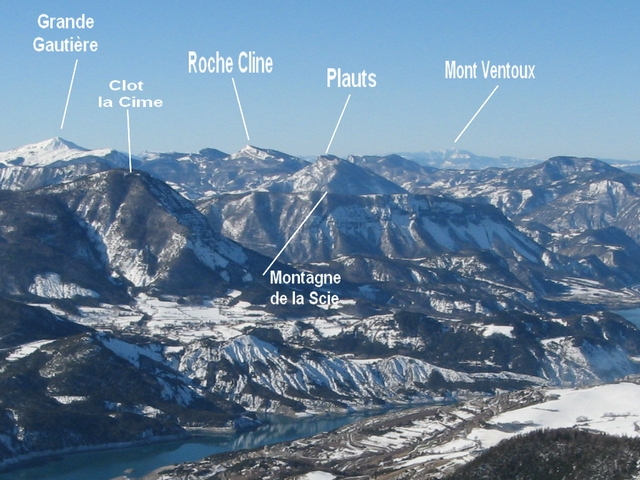
IMG_0339.JPG
2592x1944
- 1205 ko à
flanc à gauche : la Gde Gautière sans doute, et au
bout à droite : Roche Cline et les Plauts
|
|
IMG_0340.JPG
2592x1944
- 1297 ko
|
|
|
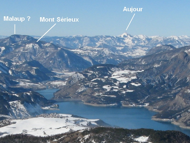
IMG_0341.JPG
2592x1944
- 1133 ko au
centre au fond, le Mont Sérieux à priori
|
|
IMG_0342.JPG
2592x1944
- 1190 ko
|
|
|
IMG_0343.JPG
2592x1944
- 1053 ko____zoom
|
|
IMG_0344.JPG
2592x1944
- 1170 ko les
Aiguilles de Chabrière ...
|
|
|
IMG_0345.JPG
2592x1944
- 871 ko les
3 Séolanes dans l'ombre
|
|
IMG_0346.JPG
3072x2304
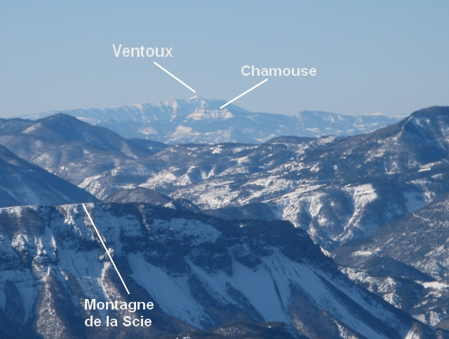
- 1330 ko le
Mont Ventoux un peu loin, derrière Chamouse ...
|
|
|
IMG_0347.JPG
3072x2304
- 2832 ko
|
|
IMG_0348.JPG
2592x1944
- 1206 ko
|
|
|
IMG_0349.JPG
2592x1944
- 1406 ko
|
|
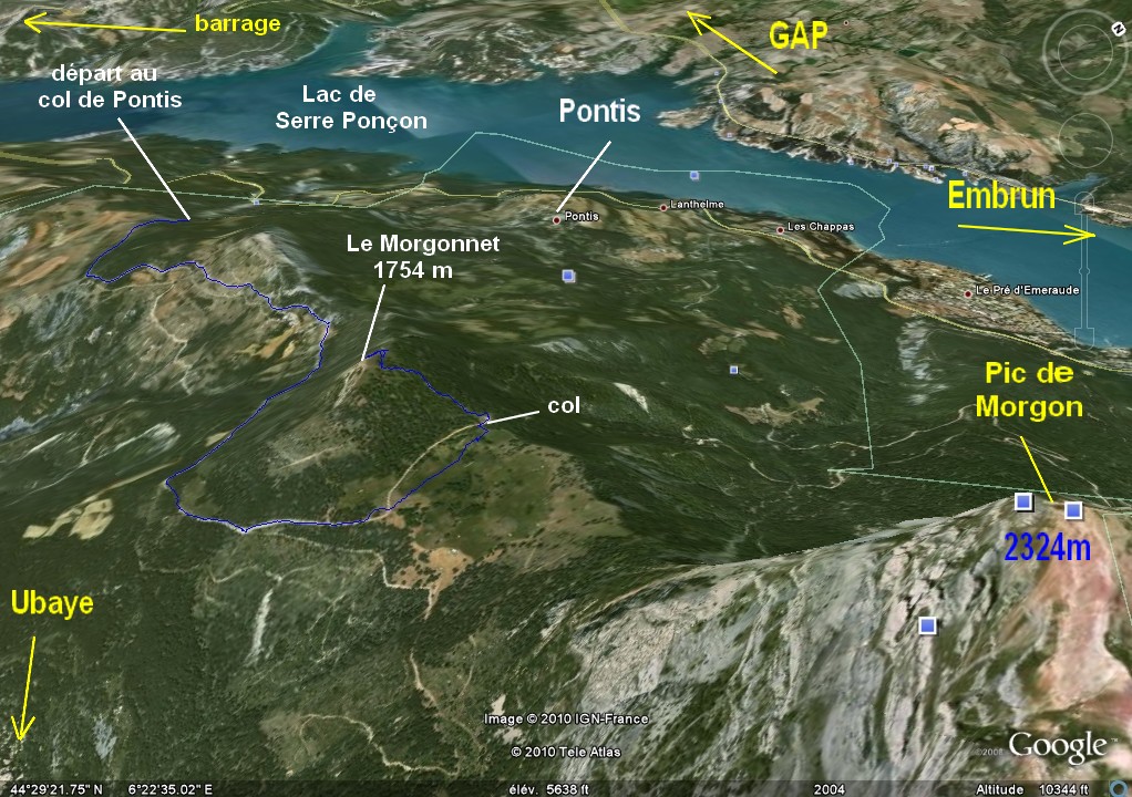
IMG_0350.JPG
2592x1944
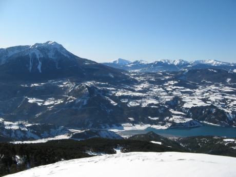
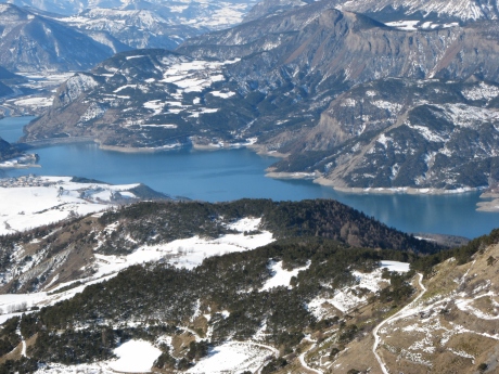
- 1513 ko le
Pic de Morgon à gauche
|
|
|
IMG_0351.JPG
2592x1944
- 1521 ko
|
|
IMG_0352.JPG
2592x1944
- 1403 ko
|
|
|
IMG_0353.JPG
1944x2592
- 1247 ko
|
|
IMG_0354.JPG
2592x1944
- 1848 ko on
est au sommet
|
|
|
IMG_0355.JPG
2592x1944
- 1104 ko Dormillouse
|
|
IMG_0356.JPG
2592x1944
- 1143 ko
|
|
|
IMG_0357.JPG
2592x1944
- 1186 ko sud
…..... sud ouest
|
|
IMG_0358.JPG
2592x1944
- 1310 ko sud-ouest____zoom
|
|
|
IMG_0359.JPG
2592x1944
- 1389 ko____zoom
|
|
IMG_0360.JPG
2592x1944
- 1473 ko ouest____zoom
|
|
|
IMG_0361.JPG
2592x1944
- 1457 ko____zoom
|
|
IMG_0362.JPG
2592x1944
- 1442 ko
|
|
|

IMG_0363.JPG
2592x1944
- 1392 ko nord-ouest
|
|
IMG_0364.JPG
2592x1944
- 1374 ko____zoom
|
|
|
IMG_0365.JPG
2592x1944
- 1401 ko
|
|
IMG_0366.JPG
2592x1944
- 1379 ko nord____zoom
|
|
|
IMG_0367.JPG
2592x1944
- 1407 ko
|
|
IMG_0368.JPG
2592x1944
- 1349 ko
|
|
|
IMG_0369.JPG
2592x1944
- 1381 ko
|
|
IMG_0370.JPG
2592x1944
- 1400 ko____zoom
|
|
|
IMG_0371.JPG
2592x1944
- 1364 ko____zoom
|
|

IMG_0372.JPG
2592x1944
- 1373 ko nord-est,
vers Embrun
|
|
|
IMG_0373.JPG
2592x1944
- 1459 ko le
Mont Orel à flanc droit, le Pic du Clocher derrière
à sa gauche et l'Homme de Pierre entre les deux
|
|
IMG_0374.JPG
2592x1944
- 1388 ko
|
|
|
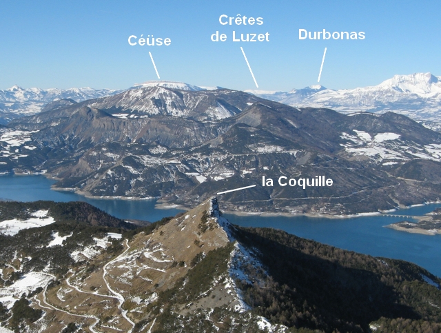
IMG_0375.JPG
2592x1944
- 1768 ko sommet
dit « la Coquille » vers notre départ
|
|

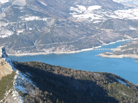
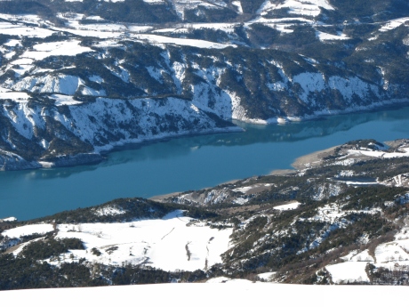
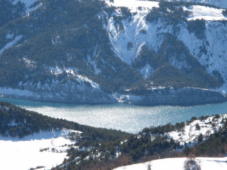
IMG_0376.JPG
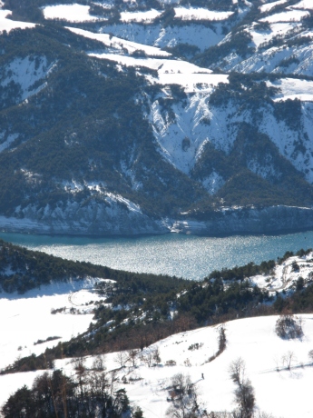
2592x1944
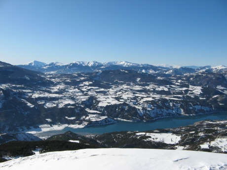
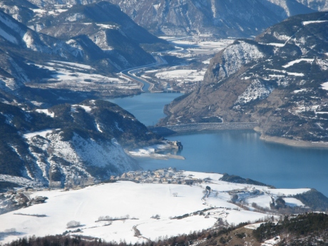
- 1567 ko le
barrage au centre
|
|
|
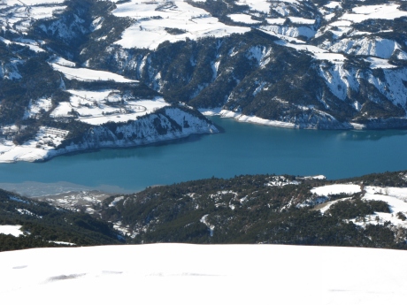
IMG_0377.JPG
2592x1944
- 1767 ko la
Viste centre droit en haut
|
|
IMG_0378.JPG
2592x1944
- 1783 ko
|
|
|
IMG_0379.JPG
2592x1944
- 1543 ko
|
|
IMG_0380.JPG
2592x1944
- 1429 ko pont
versChanteloube
|
|
|
IMG_0381.JPG
2592x1944
- 1577 ko
|
|
IMG_0382.JPG
2592x1944
- 1684 ko la
Chapelle St Michel est cachée par les arbres à
droite
|
|
|
IMG_0383.JPG
2592x1944
- 1503 ko les
Hyvans à droite de « la Coquille »
|
|
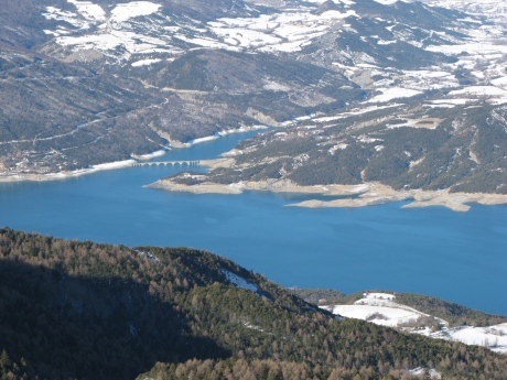
IMG_0384.JPG
2592x1944
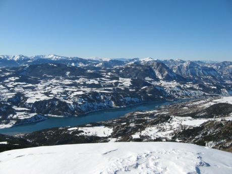
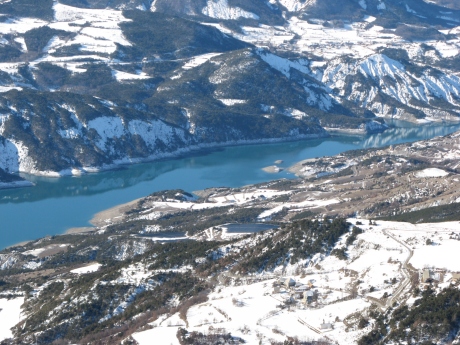
- 1309 ko le
barrage de Serre-Ponçon, le plan d'Espinasses et le canal
à l'arrière
|
|
|
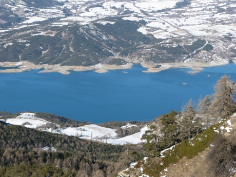
IMG_0385.JPG
2592x1944
- 1708 ko branche
vers l'Ubaye
|
|
IMG_0386.JPG
2592x1944
- 1467 ko
|
|
|
IMG_0387.JPG
2592x1944
- 1243 ko
|
|

IMG_0388.JPG
2592x1944
- 1184 ko
|
|
|
IMG_0389.JPG
2592x1944
- 1030 ko
|
|
IMG_0390.JPG
2592x1944
- 871 ko un
bout du Laverq en haut à gauche
|
|
|
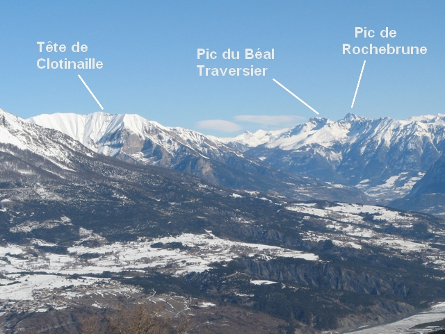
IMG_0391.JPG
2592x1944
- 1072 ko le
Pic de Rochebrune au centre droit et à sa gauche le Pic du
Béal Traversier peut-être ?
|
|
IMG_0392.JPG
2592x1944
- 1129 ko
|
|
|
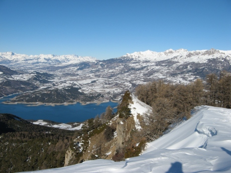
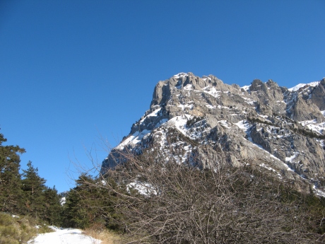
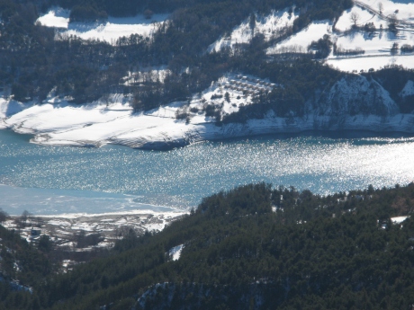
IMG_0393.JPG
2592x1944
- 1206 ko la
Pointe de Serre
|
|
IMG_0394.JPG
2592x1944
- 1172 ko le
Barle à droite
|
|
|
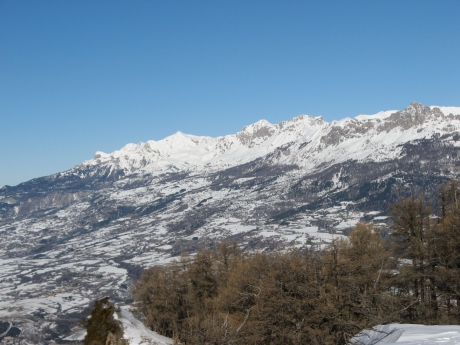
IMG_0395.JPG
2592x1944
- 1171 ko
|
|
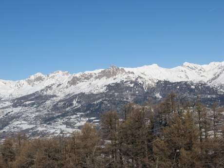
IMG_0396.JPG
2592x1944
- 1164 ko le
Piolit bien blanc à droite et l'Arche ( d'Ancelle ) à
l'extrème gauche
|
|
|
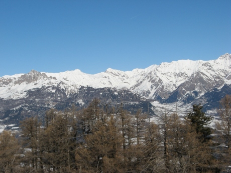
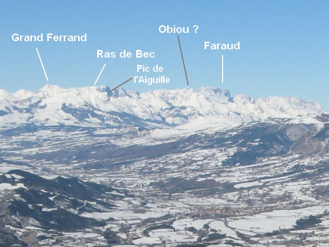
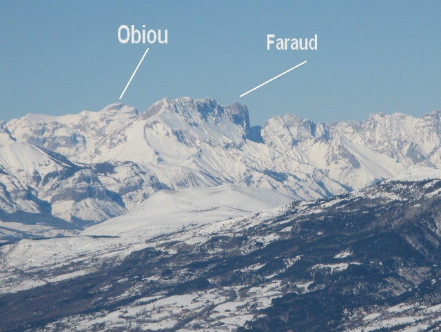
IMG_0397.JPG
2592x1944
- 1167 ko Faraud____zoom
|
|
IMG_0398.JPG
2592x1944
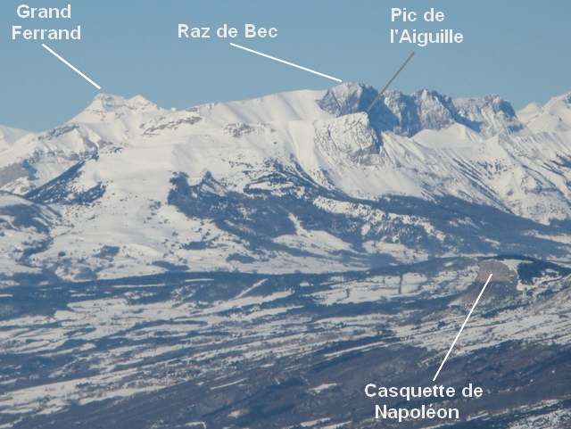
- 1151 ko le
Grand Ferrand au centre au fond et Raz de Bec à sa droite,
au-dessus de Gleize____zoom
|
|
|
IMG_0399.JPG
2592x1944
- 1150 ko
|
|
IMG_0400.JPG
2592x1944
- 1108 ko Bure
et GAP dans le trou au milieu gauche
|
|
|
IMG_0401.JPG
2592x1944
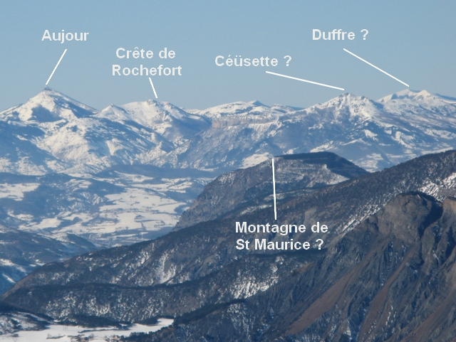
- 1145 ko Aujour
au centre gauche____zoom
|
|
IMG_0402.JPG
2592x1944
- 1034 ko
|
|
|

IMG_0403.JPG
2592x1944
- 1041 ko____zoom
|
|
IMG_0404.JPG
2592x1944
- 1971 ko notre
salle à manger, près du sommet, à notre
départ, ça fait 30 minutes au moins que maître
corbeau attend et tourne impatiemment !
|
|
|
IMG_0405.JPG
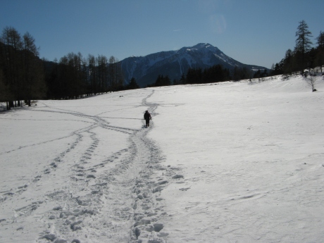
2592x1944
- 1078 ko sur
le chemin d'une « hypothétique »
sieste
|
|
IMG_0406.JPG
2592x1944
- 1859 ko
|
|
|
IMG_0407.JPG
2592x1944
- 1710 ko
|
|
IMG_0408.JPG
2592x1944
- 905 ko
|
|
|
IMG_0409.JPG
2592x1944
- 1497 ko
|
|
IMG_0410.JPG
2592x1944
- 1597 ko nous
étions là-haut
|
|
|
IMG_0411.JPG
1944x2592
- 1865 ko
|
|
IMG_0412.JPG
2592x1944
- 1061 ko la
petite Séolane avec son chapeau caractéristique, et
la Grande à sa droite, peut-être un bout de la
Séolane des Besses à flanc gauche
|
|
|
IMG_0413.JPG
2592x1944
- 848 ko
|
|
IMG_0414.JPG
2592x1944
- 1385 ko l'Ubaye
scintille ...
|
|
|
IMG_0415.JPG
1944x2592
- 1194 ko
|
|
IMG_0416.JPG
2592x1944
- 1576 ko … avec
de la glace en bordure on dirait !
|
|
|
IMG_0417.JPG
2592x1944
- 1459 ko
|
|
IMG_0418.JPG
2592x1944
- 1537 ko mesdemoiselles
! bon appétit !
|
|
|
IMG_0419.JPG
2592x1944
- 1444 ko
|
|
IMG_0420.JPG
2592x1944
- 1269 ko
|
|
|
IMG_0421.JPG
2592x1944
- 1307 ko et
bonne sieste !
|
|
|


