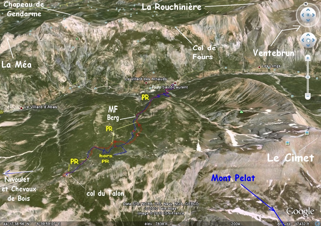
IMG_2944_08h13~.JPG
2592x1944 - 1782 ko
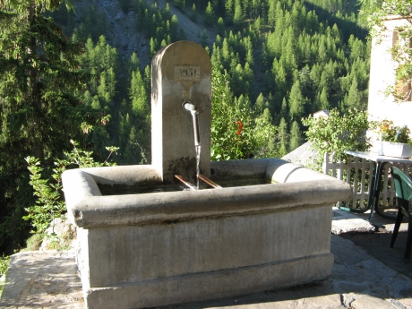
IMG_2945.JPG
1944x2592 - 1091 ko
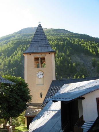
IMG_2946.JPG
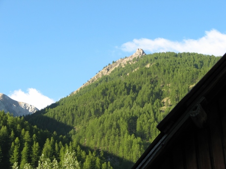
2592x1944 - 1167 ko la croix du Paris - Saïgon est là haut à flanc ( 1953 ), au ravin sous le Cimet
IMG_2947.JPG
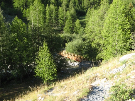
2592x1944 - 1160 ko l'Aiguille ( croupe de clot Rougier ) que l'on aura à notre gauche là-haut
IMG_2948_08h20~.JPG
2592x1944 - 2447 ko

IMG_2949.JPG
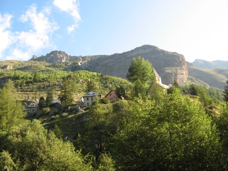
2592x1944 - 1798 ko ça sent le "très" neuf, merci aux "travailleurs" bénévoles ou non
IMG_2950_08h24~.JPG
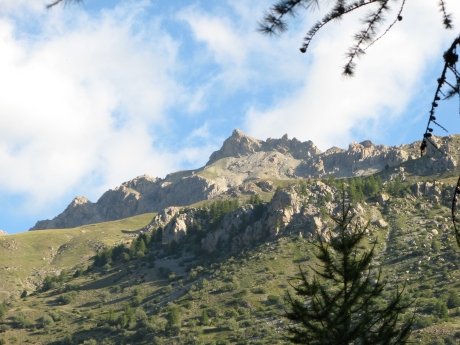
2592x1944 - 1784 ko Fours St Laurent que l'on verra mieux plus tard
IMG_2951_08h37~.JPG
2592x1944 - 1331 ko ...

IMG_2952.JPG
2592x1944 - 1826 ko
IMG_2953.JPG
2592x1944 - 1648 ko
IMG_2954_08h52~.JPG
2592x1944 - 1322 ko
IMG_2955.JPG
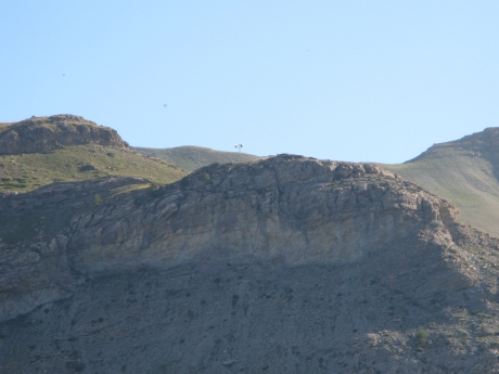
2592x1944 - 1093 ko vue sur le col de Fours ( chemin du Chapeau de Gendarme ) en venant de Super Sauze
IMG_2956_09h02~.JPG
1944x2592 - 1851 ko ...
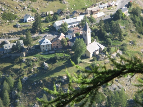
IMG_2957_09h13~.JPG
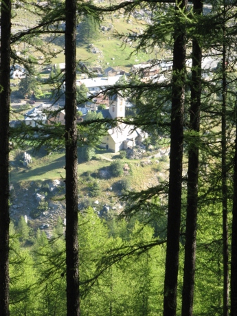
2592x1944 - 1674 ko voilà Fours St Laurent ses Eglise et Chapelle, notre voiture rouge en haut à droite, près du tas de bois qui menace de se coucher ... sur la route
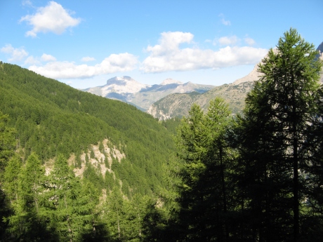
IMG_2958_09h39~.JPG
2592x1944 - 1505 ko
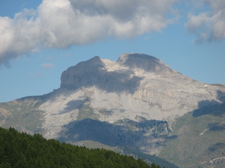
IMG_2959.JPG
2592x1944 - 950 ko la Grande Séolane à l'ouest
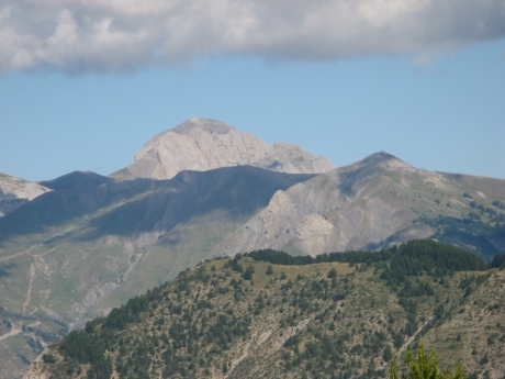
IMG_2960.JPG
2592x1944 - 1027 ko et la Petite pour ne pas faire de jaloux
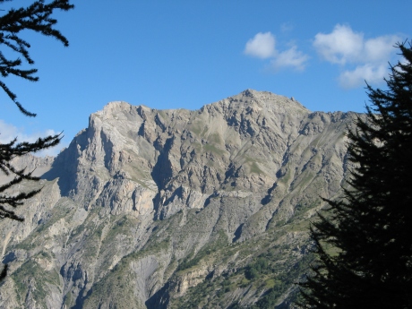
IMG_2961_09h44~.JPG
2592x1944 - 1497 ko le Chapeau de Gendarme à d
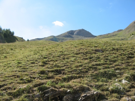
IMG_2962_10h26~.JPG
2592x1944 - 1897 ko on vient de passer la bergerie, lutte à mort avec les taons (tavans ), un se "paie" ma lêvre sup g qui triplera de volume
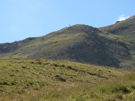
IMG_2963.JPG
2592x1944 - 1475 ko c'est un arbre ! ... mais à flanc ?
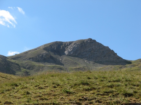
IMG_2964.JPG
2592x1944 - 1413 ko
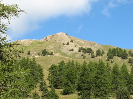
IMG_2965.JPG
2592x1944 - 1698 ko Peïra Bruna
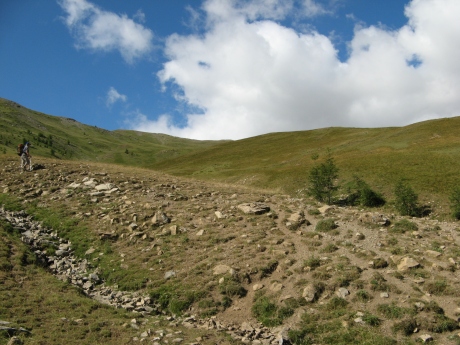
IMG_2966.JPG
2592x1944 - 1619 ko
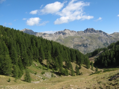
IMG_2967.JPG
2592x1944 - 1524 ko vue au nord, le Chapeau à g, puis les 2 Brecs, et la bergerie en bas ( avec la Maison Forestière )
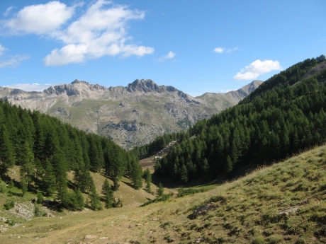
IMG_2968.JPG
2592x1944 - 1475 ko
IMG_2969.JPG
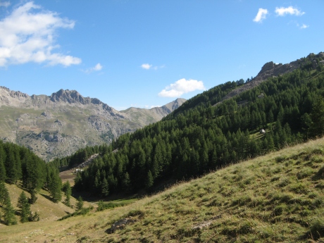
2592x1944 - 1502 ko le col de Fours à d
IMG_2970_10h35~.JPG
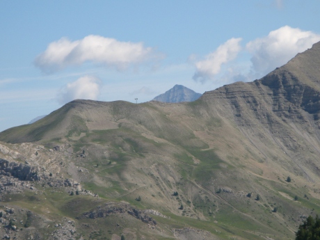
2592x1944 - 1161 ko je ne vois vraiment pas ce que ce peut être avec cette allure dans cet axe ! ( col de Fours à priori ! ), à part la Tête de Siguret !
IMG_2971.JPG
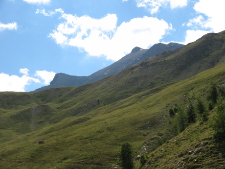
2592x1944 - 1149 ko le Cimet commence à apparaître avec son névé
IMG_2972.JPG
2592x1944 - 1321 ko
IMG_2973.JPG
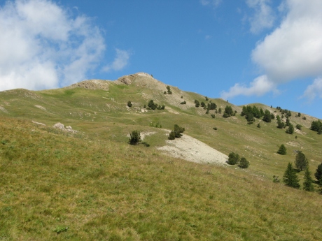
2592x1944 - 1428 ko vers Peïra Bruna
IMG_2974.JPG
2592x1944 - 1906 ko
IMG_2975_10h39~.JPG
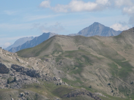
2592x1944 - 955 ko donc c'était bien Siguret, avec Cuguret visible maintenant à sa g
IMG_2976_10h43~.JPG
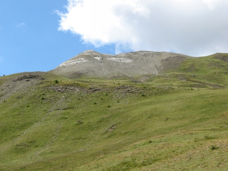
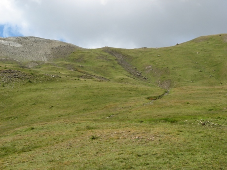
2592x1944 - 1443 ko le Pas de l'Ane doit être à g en bas
IMG_2977.JPG
2592x1944 - 1475 ko
IMG_2978.JPG
2592x1944 - 1431 ko
IMG_2979.JPG
2592x1944 - 1375 ko
IMG_2980.JPG
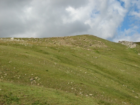
2592x1944 - 1421 ko voilà le troupeau vers 2361m, nous dialoguerons avec son berger ( de Sisteron ) très sympathique
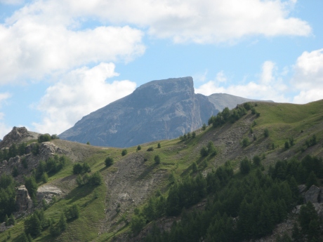
IMG_2981.JPG
2592x1944 - 989 ko Ventebrun, vers le Chevalier derrière la "croupe"

IMG_2982_10h51~.JPG
2592x1944 - 1015 ko
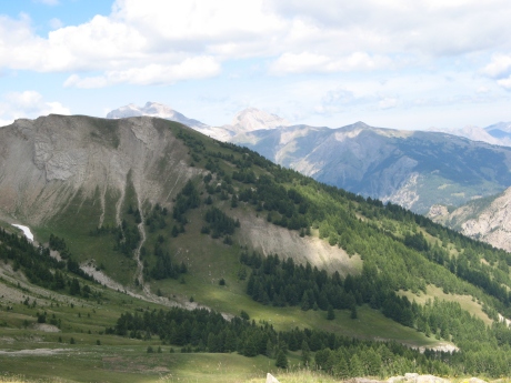
IMG_2983_11h22~.JPG
2592x1944 - 1202 ko repartons des 2 Séolanes --->
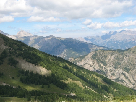
IMG_2984.JPG
2592x1944 - 1242 ko
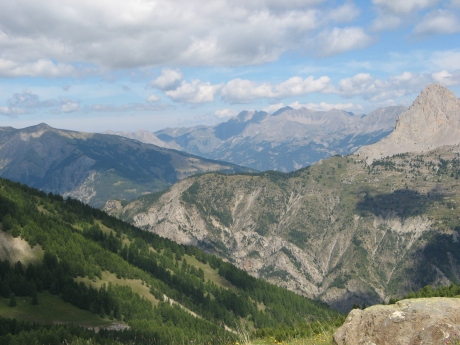
IMG_2985.JPG
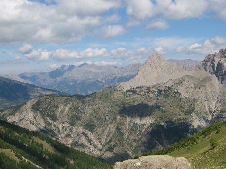
2592x1944 - 1287 ko au centre g, à flanc, on est sur Louis XVI
IMG_2986.JPG
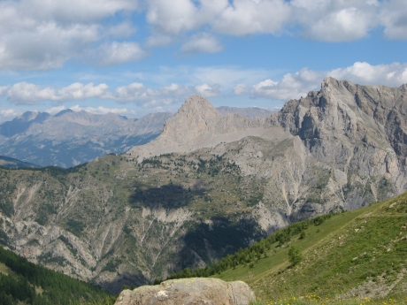
2592x1944 - 1306 ko puis Montagnette, Pouzenc et Aupillon ...
IMG_2987.JPG
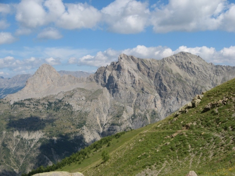
2592x1944 - 1420 ko plus près de nous : La méa ( Pain de Sucre )
IMG_2988.JPG
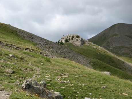
2592x1944 - 1454 ko et le Chapeau de Gendarme
IMG_2989.JPG
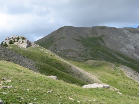
2592x1944 - 1694 ko nous approchons du col : c'est ce tas de cailloux ( à sa d ) qui nous servire de salle à manger
IMG_2990.JPG
2592x1944 - 1616 ko
IMG_2991.JPG
2592x1944 - 1414 ko
IMG_2992.JPG
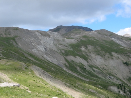
2592x1944 - 1388 ko je regarde le but que nous avions : le Nivoulet ( ou Pichs ) à d, s'il ne manque que 1,7km ça fait 225m en plus, c'est trop surtout pour moi
IMG_2993.JPG
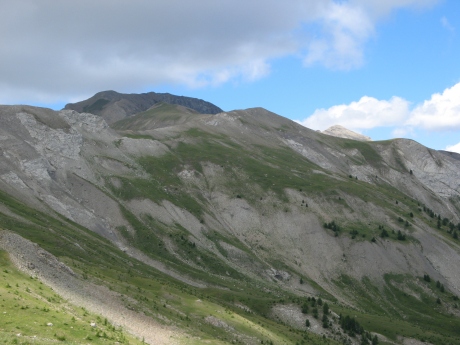
2592x1944 - 1296 ko et pour les sommets qui m'intriguaient : le Grand et Petit Cheval de Bois, c'est foutu, on en verra pas beaucoup plus de ce côté là, le Grand serait celui en sombre au fond
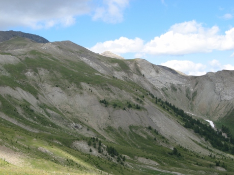
IMG_2994.JPG
2592x1944 - 1305 ko et le Petit serait celui qui émerge à peine au soleil, sans aucune garantie !
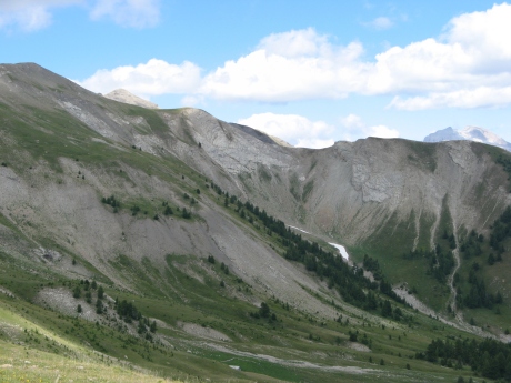
IMG_2995.JPG
2592x1944 - 1272 ko
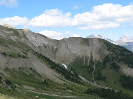
IMG_2996.JPG
2592x1944 - 1161 ko devant nous la Crête de la Grange
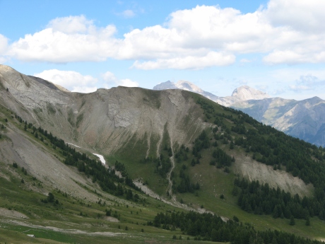
IMG_2997.JPG
2592x1944 - 1110 ko

IMG_2998.JPG
2592x1944 - 1651 ko
IMG_2999.JPG
2592x1944 - 1706 ko
IMG_3000.JPG
2592x1944 - 1729 ko
IMG_3001.JPG
2592x1944 - 1843 ko
IMG_3002_11h39~.JPG
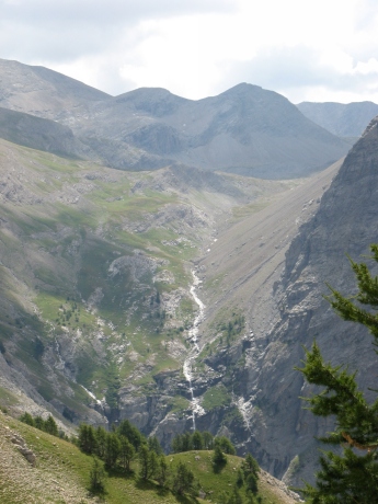
1944x2592 - 1214 ko la magnifique cascade sous la cabane du Cimet ( qui est peut-être sur ce plan devant ) et le pas de l'Ane invisible à g
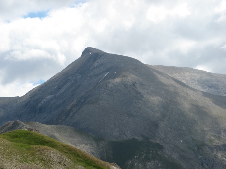
IMG_3003.JPG
2592x1944 - 972 ko le Cimet un sacré morceau de cailloux
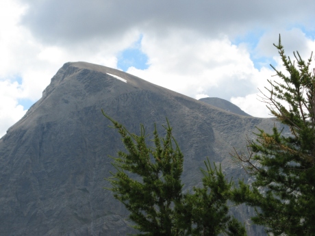
IMG_3004.JPG
2592x1944 - 1076 ko ceci serait le Téton et le Pelat derrière ?
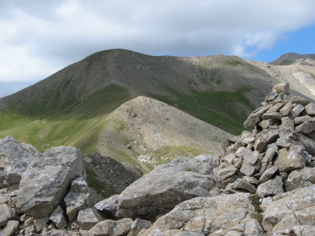
IMG_3005.JPG
2592x1944 - 1528 ko la suite du chemin, n'est plus au programme, même mon estafette renonce, l'estomac réclame...
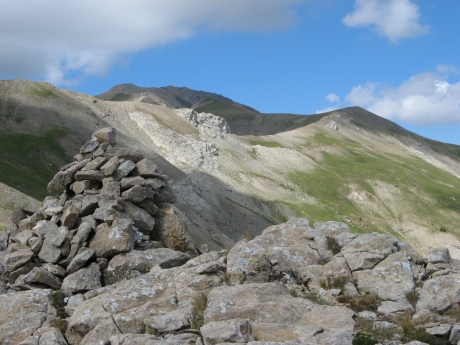
IMG_3006.JPG
2592x1944 - 1491 ko
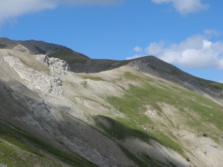
IMG_3007.JPG
2592x1944 - 1430 ko le Nivoulet à d et le Gd Cheval à g
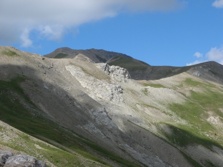
IMG_3008.JPG
2592x1944 - 1415 ko
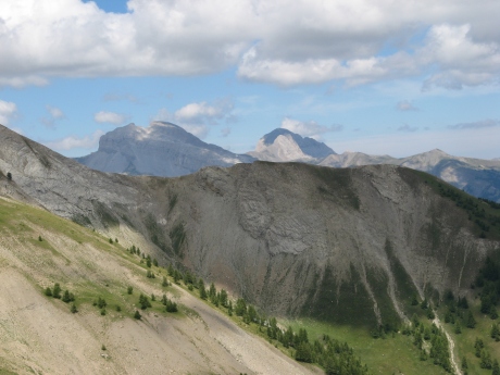
IMG_3009.JPG
2592x1944 - 1248 ko
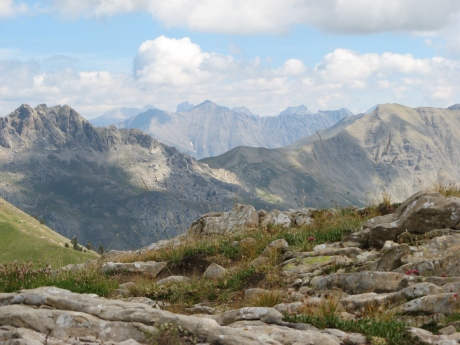
IMG_3010.JPG
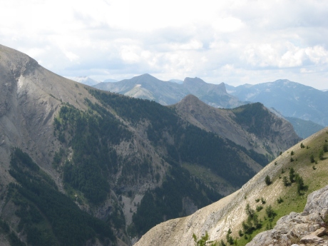
2592x1944 - 1182 ko derrière la Pointe de Côte Belle ( à g de Cuguret ) on s'est demandé si c'était le Viso mais c'est trop à gauche, on est même à g des Toillies
IMG_3011.JPG
2592x1944 - 1097 ko on reverra cela après manger c'est au sud,
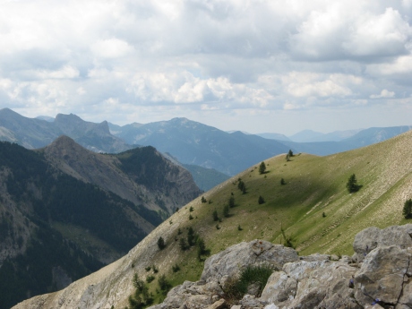
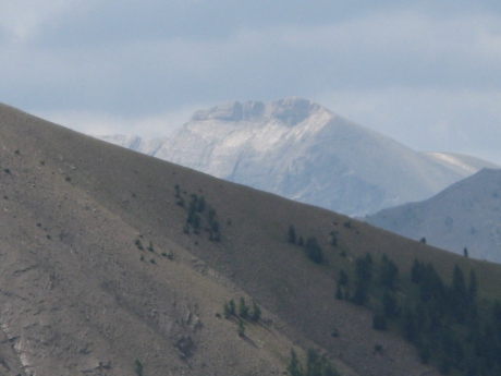
il y aurait les Têtes du Vallonnet et de Prachastrel ... et puis voyez à flanc g ... ce truc ensoleillé
IMG_3012.JPG
2592x1944 - 1122 ko
IMG_3013.JPG
2592x1944 - 628 ko les connaisseurs trouveront ! moi je renonce

IMG_3014.JPG
2592x1944 - 873 ko
IMG_3015.JPG
2592x1944 - 902 ko
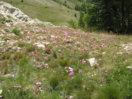
IMG_3016.JPG
2592x1944 - 2580 ko
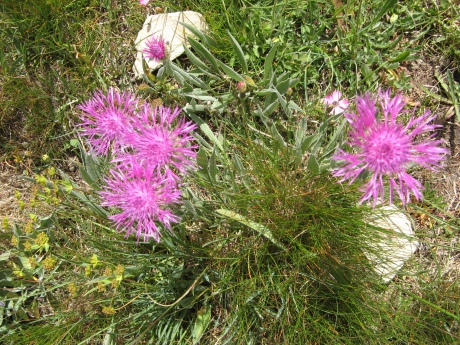
IMG_3017.JPG
2592x1944 - 2684 ko
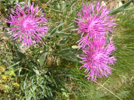
IMG_3018.JPG
2592x1944 - 1573 ko
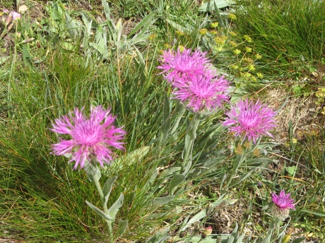
IMG_3019.JPG
2592x1944 - 2489 ko à table !
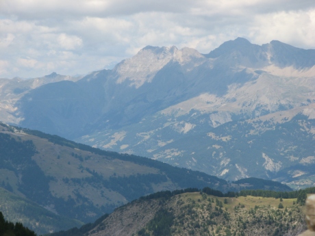
IMG_3021_13h28~.JPG
2592x1944 - 970 ko un petit tour avant la sieste ---> mais ça s'est bien bouché
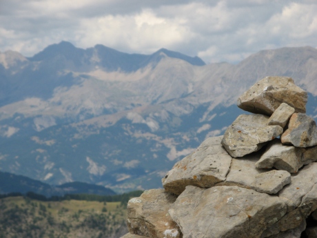
IMG_3022.JPG
2592x1944 - 960 ko mise au point sur le cairn ! merci
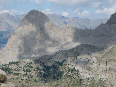
IMG_3023.JPG
2592x1944 - 1322 ko la Méa
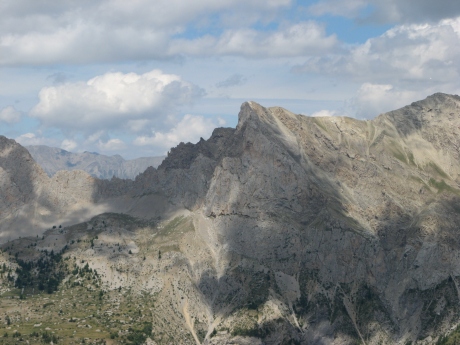
IMG_3024.JPG
2592x1944 - 1244 ko
IMG_3025.JPG
2592x1944 - 1271 ko
IMG_3026.JPG
2592x1944 - 1398 ko
IMG_3027.JPG
2592x1944 - 1197 ko
IMG_3028.JPG
2592x1944 - 1318 ko
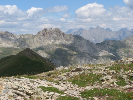
IMG_3029.JPG
2592x1944 - 1485 ko
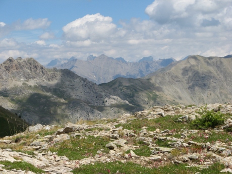
IMG_3030.JPG
2592x1944 - 1533 ko
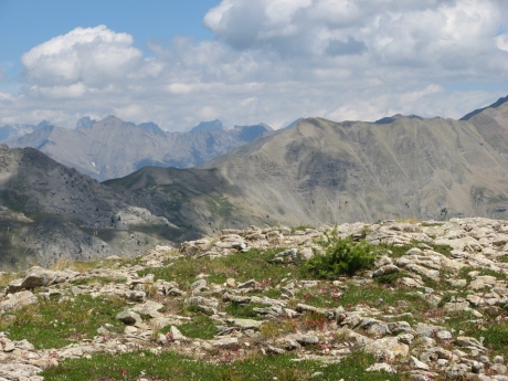
IMG_3031.JPG
2592x1944 - 1563 ko
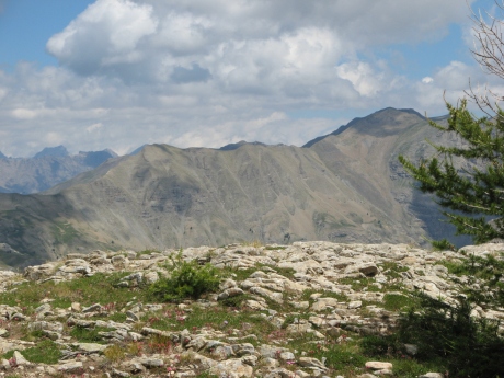
IMG_3032.JPG
2592x1944 - 1462 ko
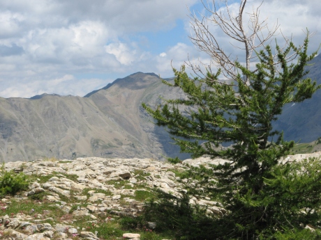
IMG_3033.JPG
2592x1944 - 1522 ko
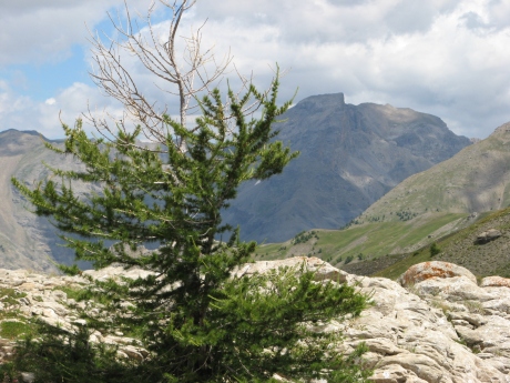
IMG_3034.JPG
2592x1944 - 1558 ko
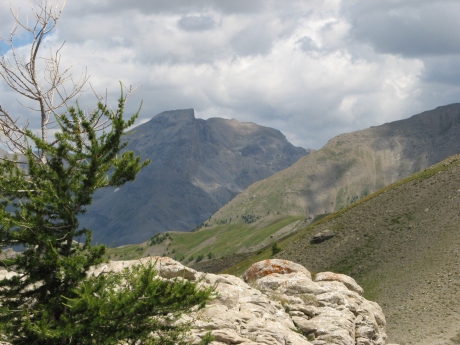
IMG_3035.JPG
2592x1944 - 1373 ko
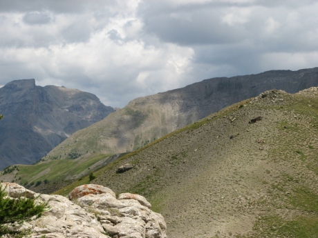
IMG_3036.JPG
2592x1944 - 1386 ko
IMG_3037.JPG
2592x1944 - 1532 ko
IMG_3038.JPG
2592x1944 - 1552 ko
IMG_3039.JPG
2592x1944 - 1255 ko
IMG_3040.JPG
2592x1944 - 1191 ko
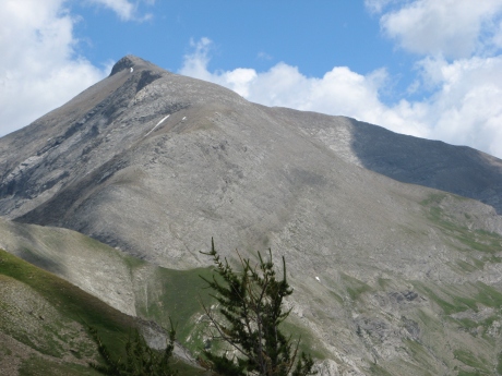
IMG_3041.JPG
2592x1944 - 1305 ko le Cimet
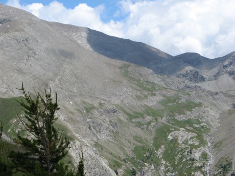
IMG_3042.JPG
2592x1944 - 1444 ko
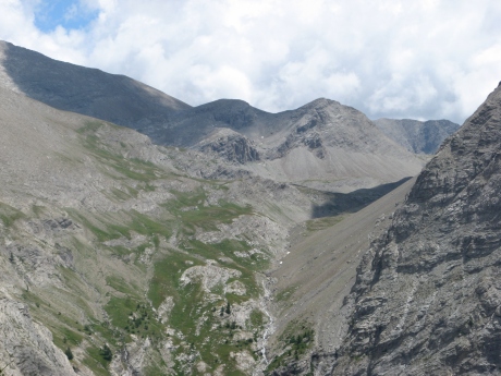
IMG_3043.JPG
2592x1944 - 1418 ko
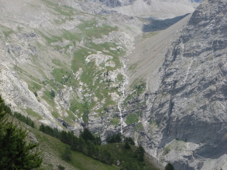
IMG_3044.JPG
2592x1944 - 1832 ko

IMG_3045.JPG
2592x1944 - 1251 ko
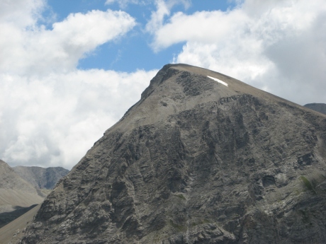
IMG_3046.JPG
2592x1944 - 1136 ko
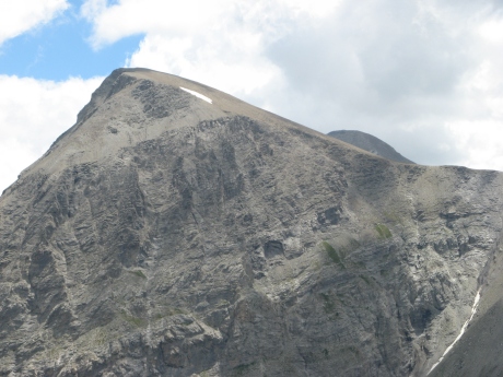
IMG_3047.JPG
2592x1944 - 1343 ko
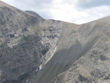
IMG_3048.JPG
2592x1944 - 1462 ko
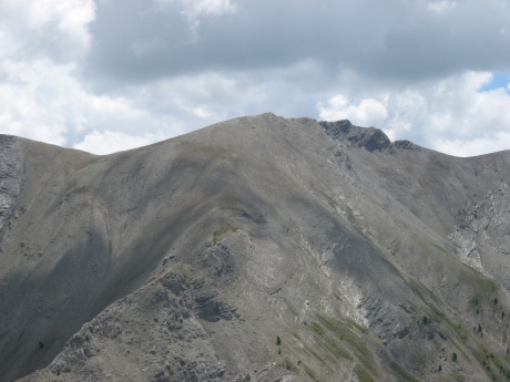
IMG_3049.JPG
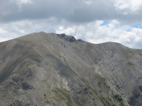
2592x1944 - 1154 ko la Barre Noire ?
IMG_3050.JPG
2592x1944 - 1179 ko
IMG_3051.JPG
2592x1944 - 1148 ko
IMG_3052.JPG
2592x1944 - 1275 ko
IMG_3053.JPG
2592x1944 - 1190 ko
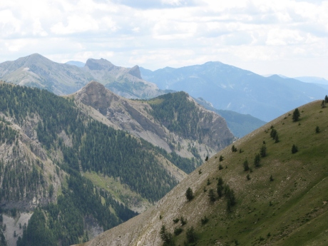
IMG_3054.JPG
2592x1944 - 1203 ko

IMG_3055.JPG
2592x1944 - 1192 ko
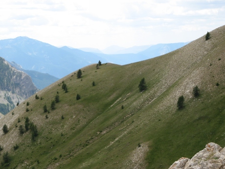
IMG_3056.JPG
2592x1944 - 1288 ko
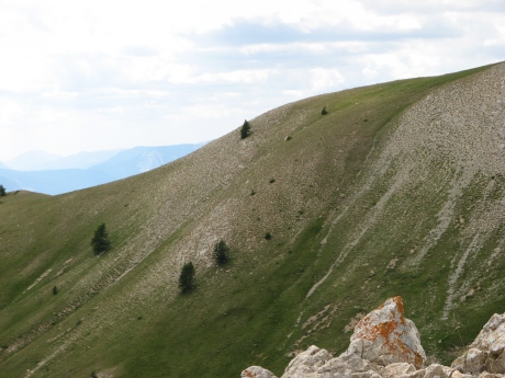
IMG_3057.JPG
2592x1944 - 1375 ko à flanc : vers L'Autapie, direction de Denjuan et Mourre Frey : pas de Cheval Blanc pour le dessert !
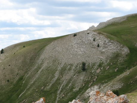
IMG_3058.JPG
2592x1944 - 1480 ko
IMG_3059.JPG
2592x1944 - 1406 ko
IMG_3060.JPG
2592x1944 - 1455 ko
IMG_3061.JPG
2592x1944 - 1421 ko
IMG_3062.JPG
2592x1944 - 1702 ko
IMG_3063.JPG
2592x1944 - 1555 ko
IMG_3064.JPG
2592x1944 - 1465 ko
IMG_3065.JPG
2592x1944 - 1493 ko
IMG_3066.JPG
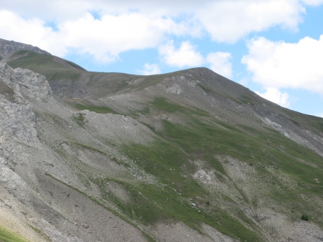
2592x1944 - 1358 ko le Nivoulet ( Pichs )
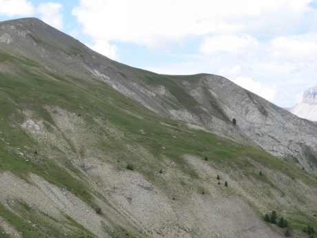
IMG_3067.JPG
2592x1944 - 1389 ko
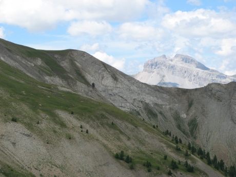
IMG_3068.JPG
2592x1944 - 1250 ko
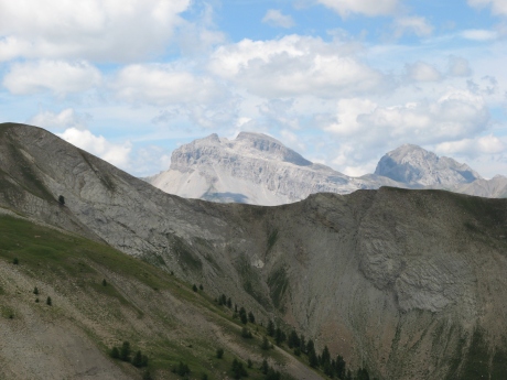
IMG_3069.JPG
2592x1944 - 1185 ko les 2 Séolanes
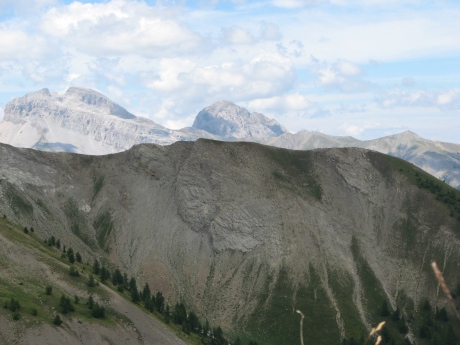
IMG_3070.JPG
2592x1944 - 1198 ko
IMG_3071.JPG
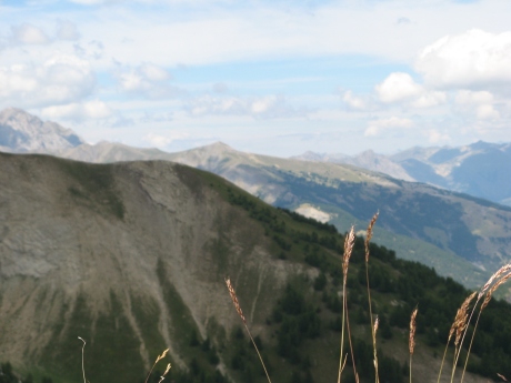
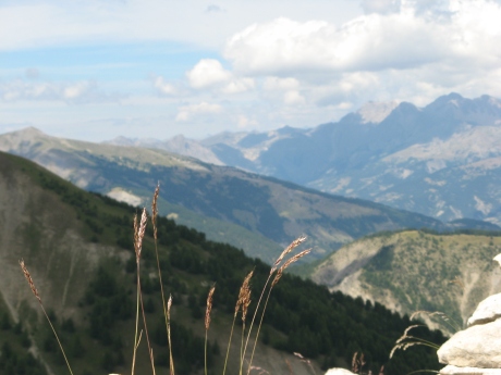
2592x1944 - 800 ko mise au point sur les herbes ! sur Pra-Loup ( pointu derrière ) ça turbine à bloc pour le ski
IMG_3072.JPG
2592x1944 - 832 ko
IMG_3073.JPG
2592x1944 - 1002 ko
IMG_3074.JPG
2592x1944 - 1106 ko
IMG_3075.JPG
2592x1944 - 1248 ko
IMG_3076.JPG
2592x1944 - 1218 ko
IMG_3077.JPG
2592x1944 - 1251 ko

IMG_3078.JPG
2592x1944 - 1276 ko
IMG_3079.JPG
2592x1944 - 1292 ko
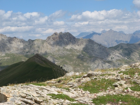
IMG_3080.JPG
2592x1944 - 1442 ko
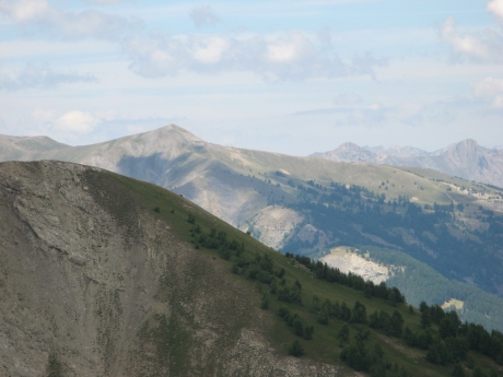
IMG_3081.JPG
2592x1944 - 989 ko
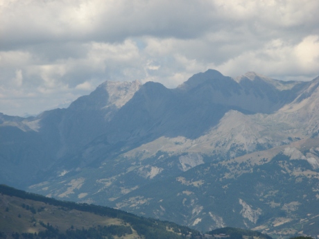
IMG_3082.JPG
2592x1944 - 873 ko
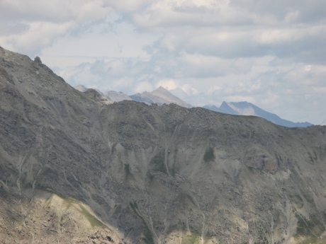
IMG_3083.JPG
2592x1944 - 1061 ko
IMG_3084.JPG
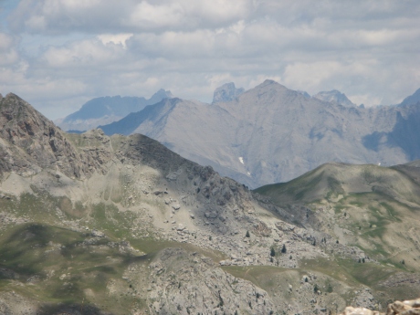
2592x1944 - 1166 ko là aussi les connaisseurs mettront des noms
IMG_3085.JPG
2592x1944 - 1131 ko
IMG_3086.JPG
2592x1944 - 983 ko
IMG_3087.JPG
2592x1944 - 1077 ko

IMG_3088.JPG
2592x1944 - 1305 ko
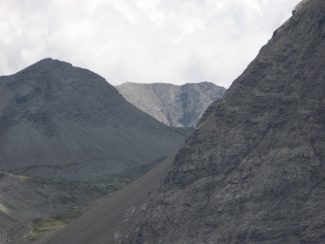
IMG_3089.JPG
2592x1944 - 1013 ko dans la trouée : le Petit col de Talon ( vers le lac ) et derrière : la Grande Barre vers le trou de l'Aigle ???
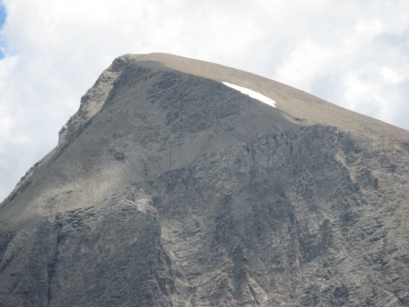
IMG_3090.JPG
2592x1944 - 1144 ko le Téton ( à l'arrière ) que l'on frôle presque ( c'est érotique ! )
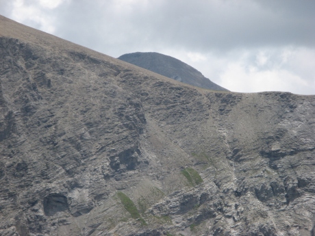
IMG_3091.JPG
2592x1944 - 1422 ko Mont Pelat, avec de gros doutes
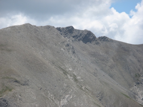
IMG_3092.JPG
2592x1944 - 1223 ko Barre noire
IMG_3093.JPG
2592x1944 - 1239 ko etc
IMG_3094.JPG
2592x1944 - 1045 ko etc
IMG_3095.JPG
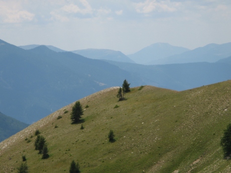
2592x1944 - 1110 ko on va redescendre de notre perchoir, on a fait le tour du problème
IMG_3096_14h48~.JPG
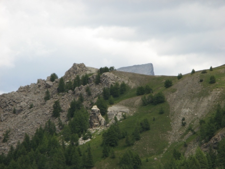
2592x1944 - 960 ko une "petite" pause plus bas
IMG_3097.JPG
2592x1944 - 1132 ko
IMG_3098.JPG
2592x1944 - 1233 ko
IMG_3099.JPG
2592x1944 - 1220 ko
IMG_3100.JPG
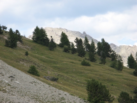
2592x1944 - 1156 ko le troupeau est là, sur le flanc de Peïra Bruna ( les sonailles ont bercé notre seconde sieste pendant qu'une marmotte n'a pas arrêté de crier, merci madame )
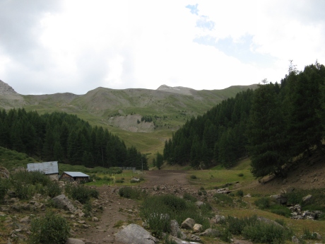
IMG_3101_15h34~.JPG
2592x1944 - 1007 ko on vient de repasser la bergerie et MF, un taon me rejoindra à la descente pour me bouffer le coude droit
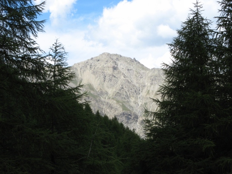
IMG_3102.JPG
2592x1944 - 1341 ko dernier coup d'oeil au gendarme
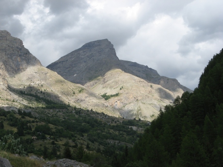
IMG_3103_16h38~.JPG
2592x1944 - 1103 ko de retour à la voiture : le Ventebrun
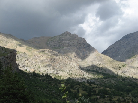
IMG_3104.JPG
2592x1944 - 1258 ko et la Rouchinière

IMG_3105.JPG
2592x1944 - 1272 ko
IMG_3106.JPG
2592x1944 - 1098 ko
