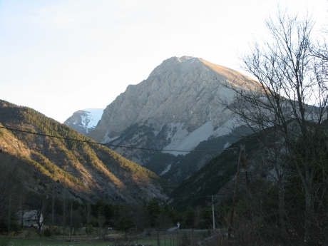
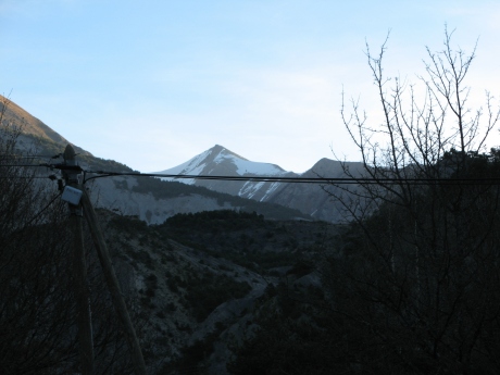
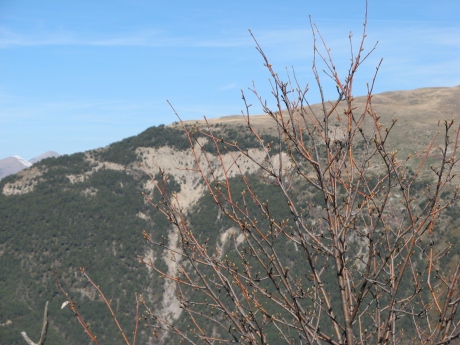
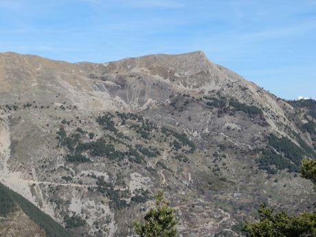
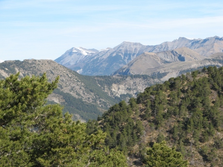
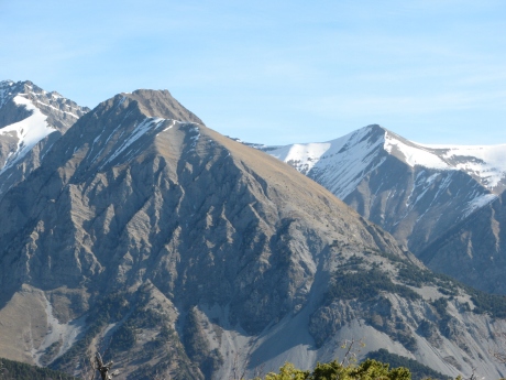
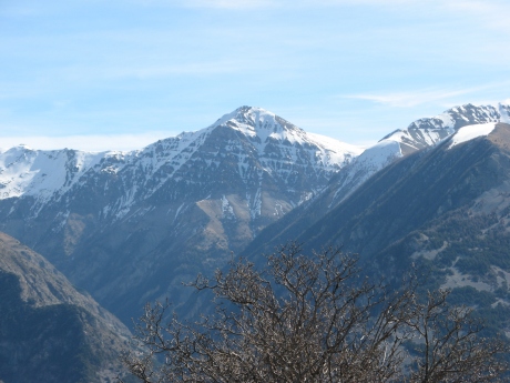
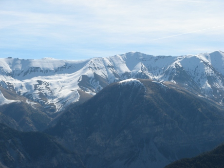
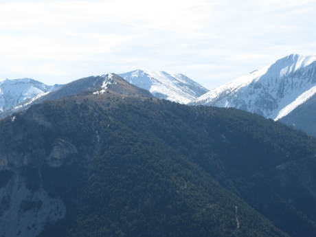
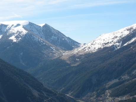
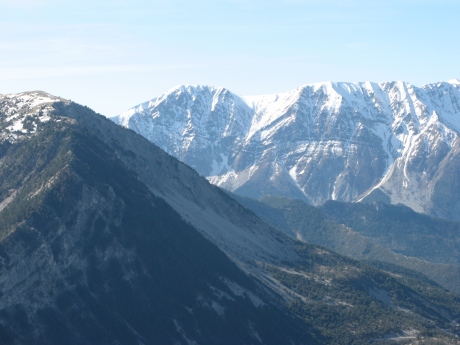
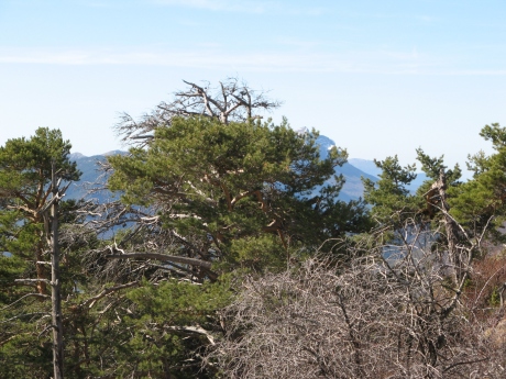
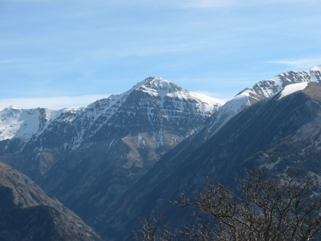
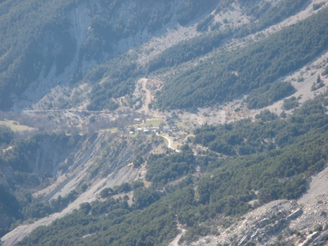
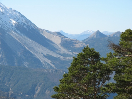
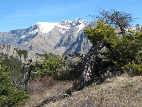
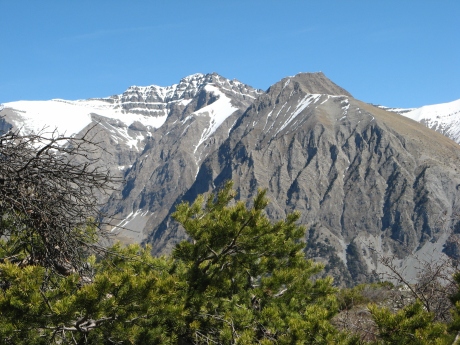
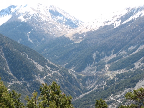
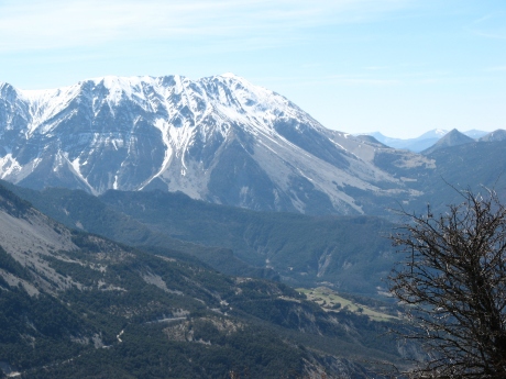
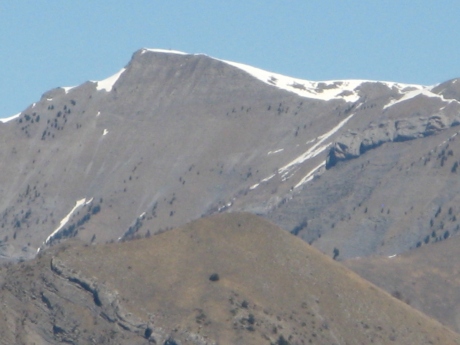
IMG_5714_au parking.JPG
2592x1944 -
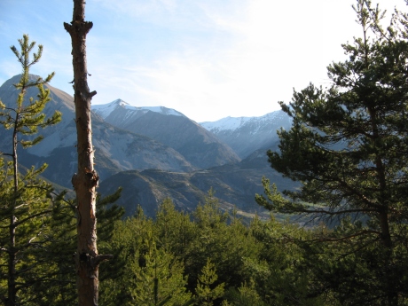
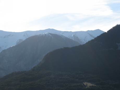
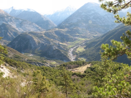
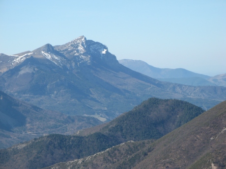
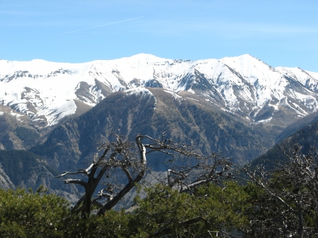
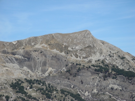
1112 ko la Cousteye, Gourgeas Tromas ...
|
| 
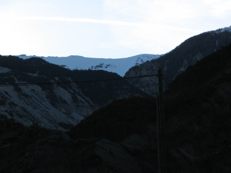
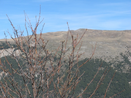
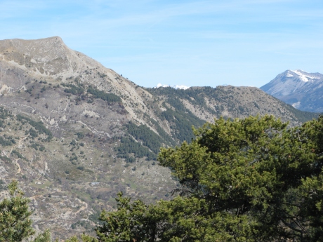
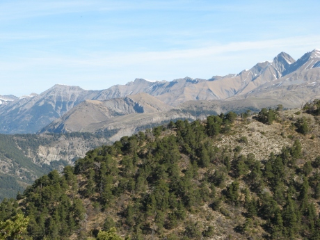
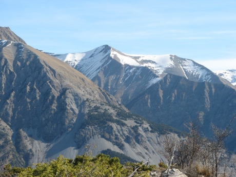
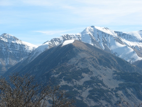
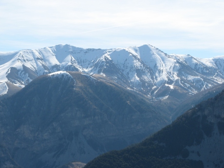
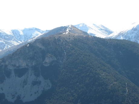
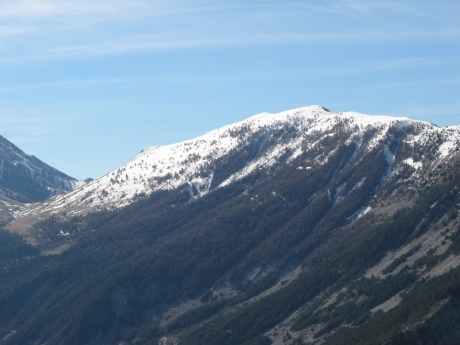
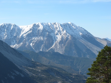
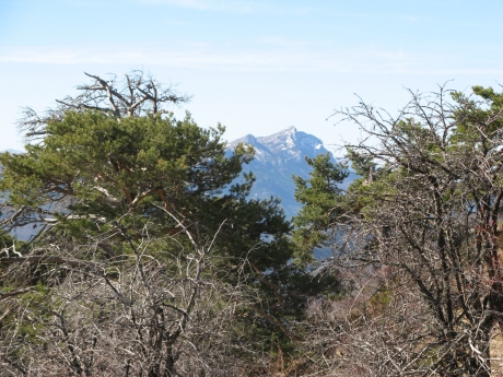
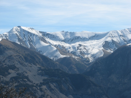
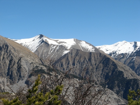
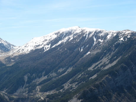
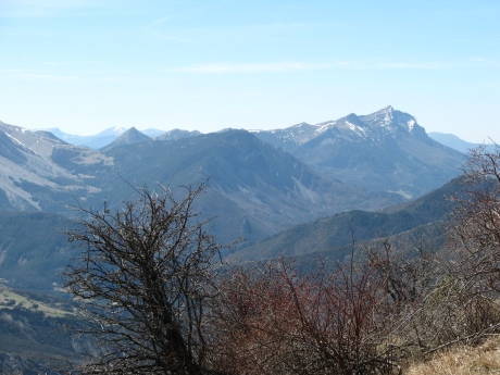
IMG_5715.JPG
2592x1944 -
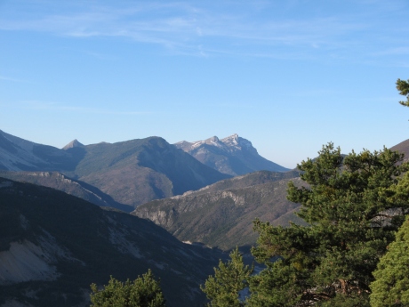
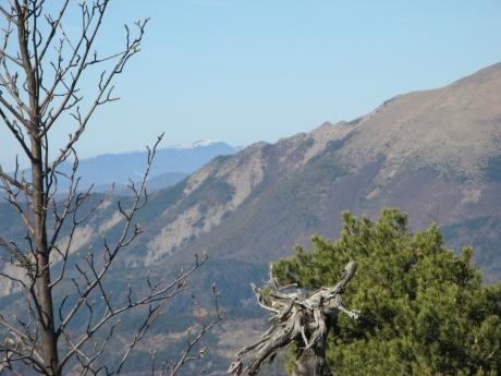
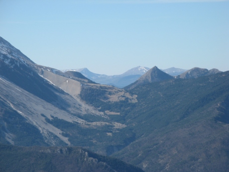
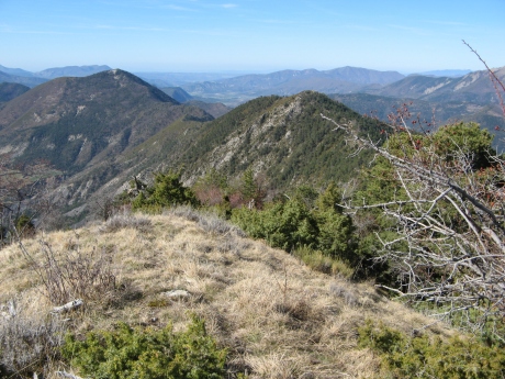
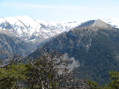
774 ko cręte de la Chau
|
|
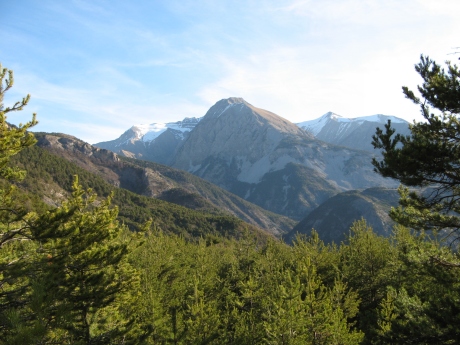
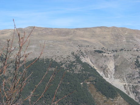
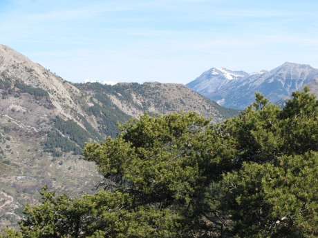
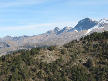
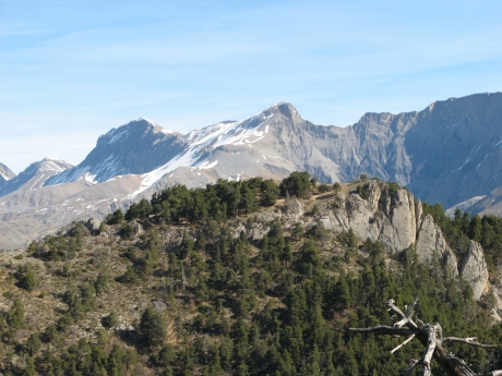
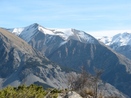
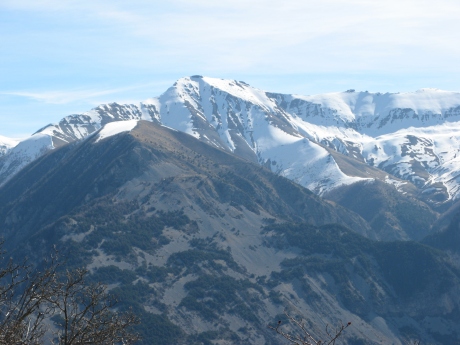
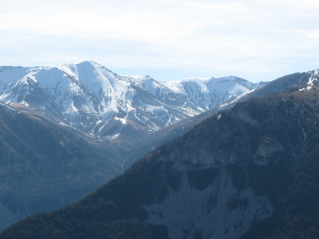
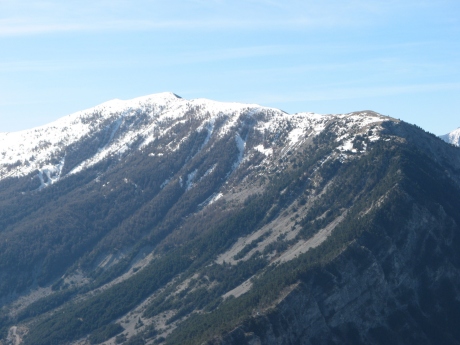
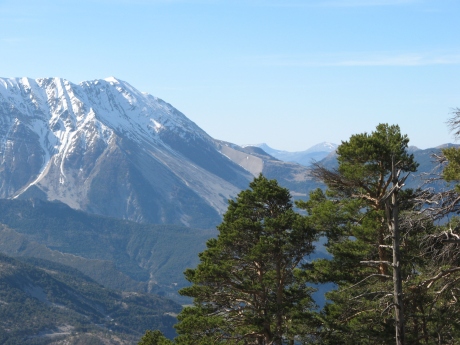
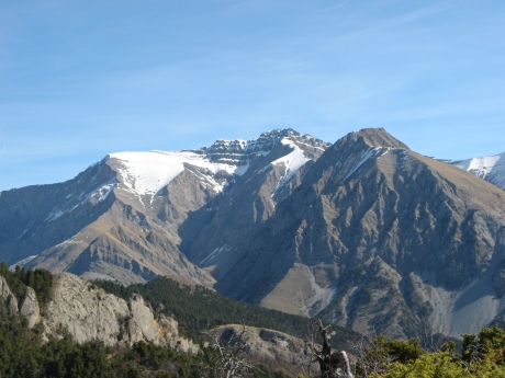
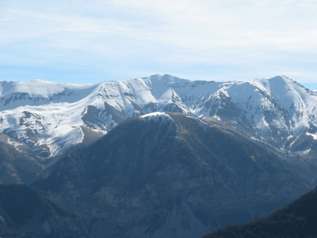
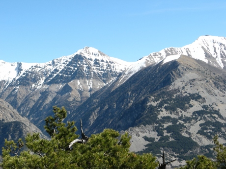
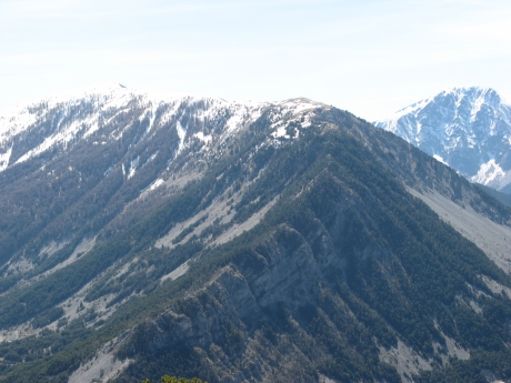
IMG_5716.JPG
2592x1944 -
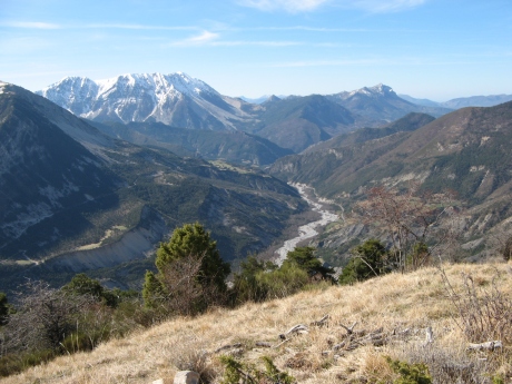
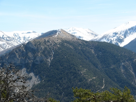
915 ko extrémité ouest du Carton
|
| 
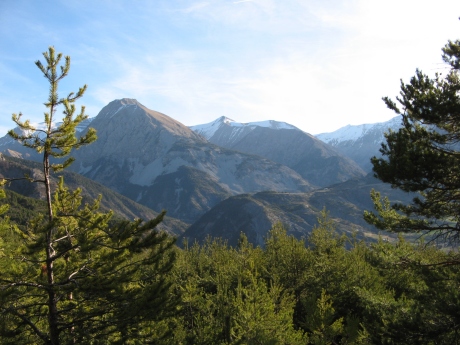
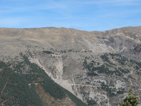
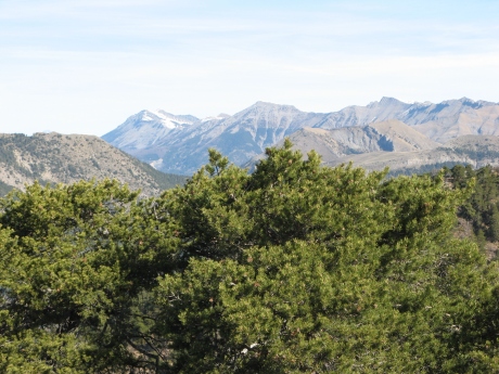
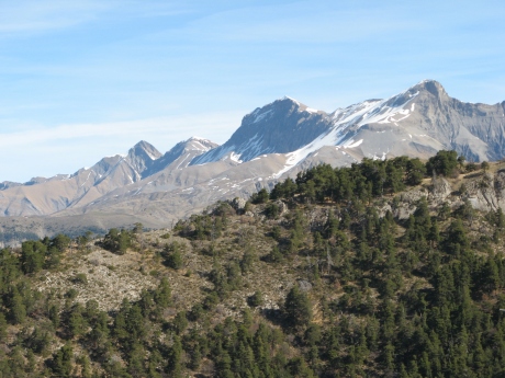
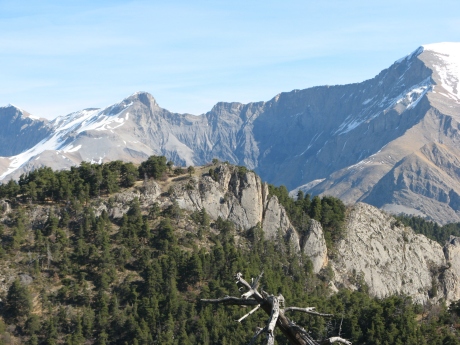
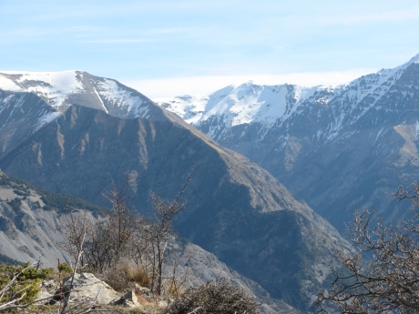
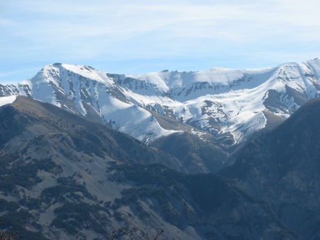
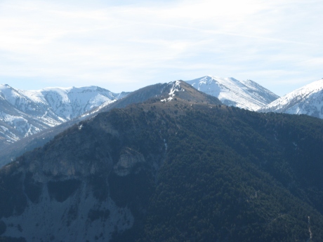
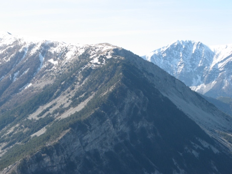
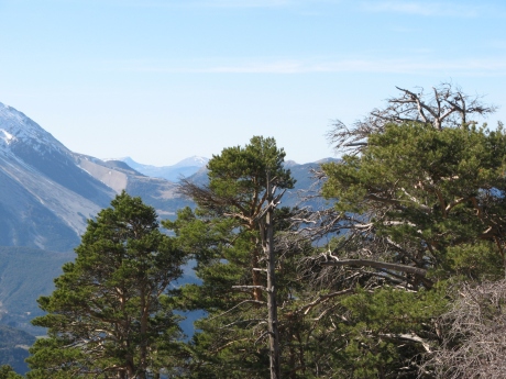
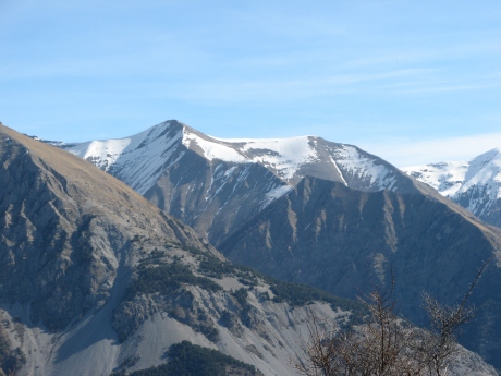
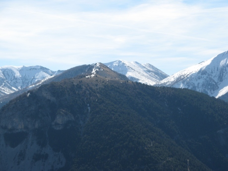
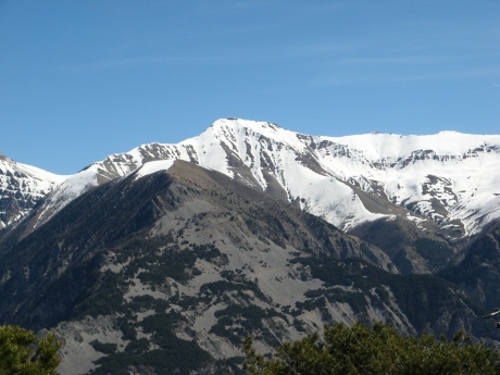
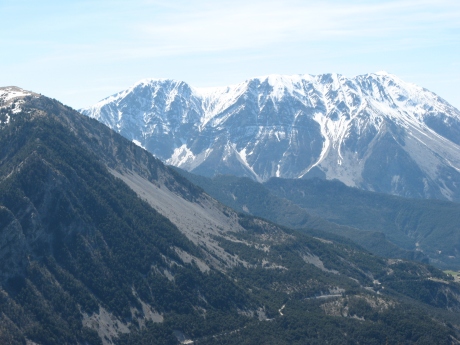
IMG_5717.JPG
2592x1944 -
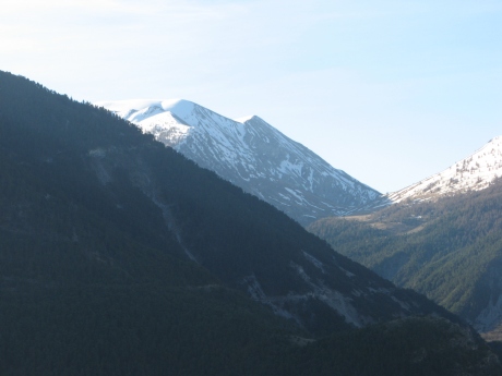
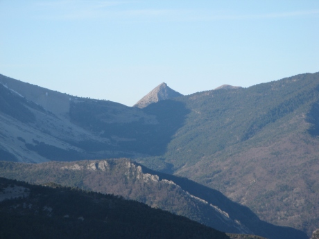
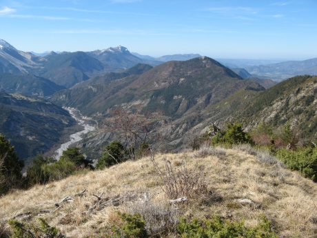
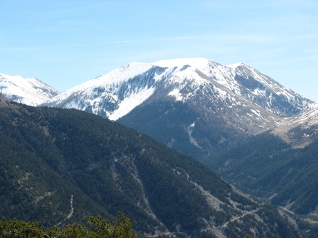
1154 ko vers notre but
|
|
IMG_5718.JPG
2592x1944 -
907 ko |
| 
IMG_5719.JPG
2592x1944 -
679 ko |
|
IMG_5720.JPG
2592x1944 -
680 ko |
| 
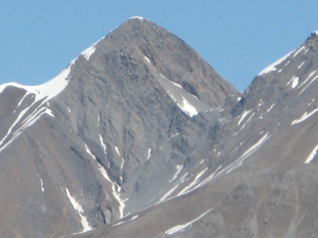
IMG_5721_emb1366.JPG
2592x1944 -
1532 ko Gourgeas Tromas
|
|
IMG_5722.JPG
2592x1944 -
1407 ko |
| 
IMG_5723.JPG
2592x1944 -
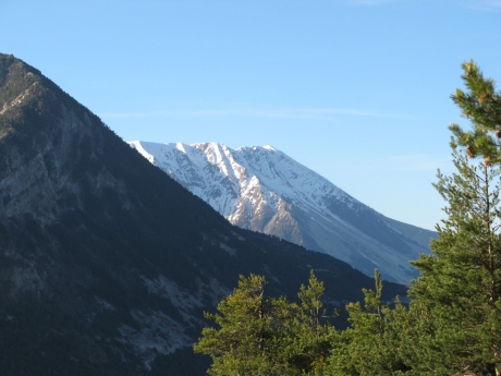
1411 ko vers les évęchés
|
|
IMG_5724.JPG
2592x1944 -
1568 ko |
| 
IMG_5725.JPG
2592x1944 -
1109 ko |
|
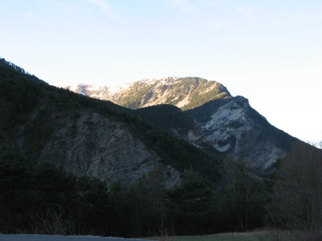
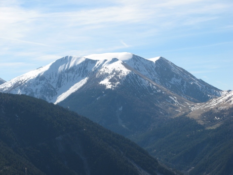
IMG_5726.JPG
2592x1944 -
921 ko les sommets seront détaillés plus loin
|
| 
IMG_5727.JPG
2592x1944 -
674 ko |
|
IMG_5728.JPG
2592x1944 -
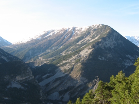
815 ko Montagne de Boules au fond ŕ g
|
| 
IMG_5729.JPG
2592x1944 -
1120 ko sommet du Cheval Blanc ŕ d
|
|
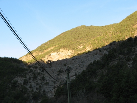
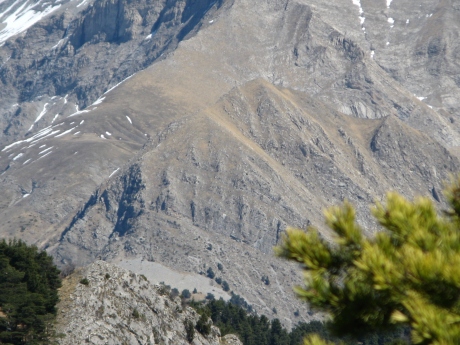
IMG_5730.JPG
2592x1944 -
1146 ko la Montagne du Carton
|
| 
IMG_5731.JPG
2592x1944 -
1744 ko La Favičre et cręte du Cadun ...
|
|
IMG_5732.JPG
2592x1944 -
1095 ko |
| 
IMG_5733.JPG
2592x1944 -
847 ko |
|
IMG_5734.JPG
2592x1944 -
1628 ko une Bérarde ?
|
| 
IMG_5736.JPG
2592x1944 -
1157 ko |
|
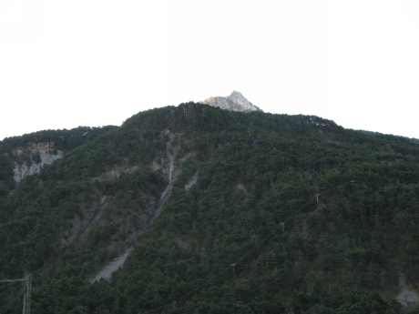
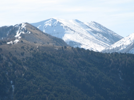
IMG_5737_sommet1734.JPG
2592x1944 -
1204 ko Lure au fond ŕ g
|
| 
IMG_5738.JPG
2592x1944 -
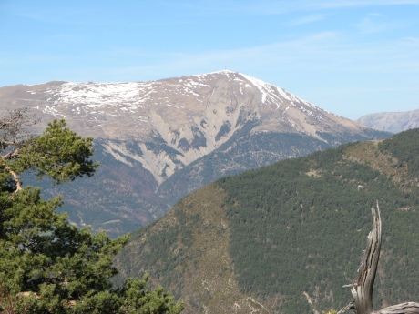
1432 ko le Blayeul
|
|
IMG_5739.JPG
2592x1944 -
1336 ko la Laupie et la Cimette entre Blayeul et Grisonničre
|
| 
IMG_5740.JPG
2592x1944 -
1260 ko et Grisonničre que nous allons faire sous peu
|
|
IMG_5741.JPG
2592x1944 -
1265 ko |
| 
IMG_5742.JPG
2592x1944 -
1287 ko |
|
IMG_5743.JPG
2592x1944 -
1397 ko |
| 
IMG_5744.JPG
2592x1944 -
1477 ko |
|
IMG_5745.JPG
2592x1944 -
1585 ko |
| 
IMG_5746.JPG
2592x1944 -
1669 ko le col Mariaud caché au pied de Dormillouse
|
|
IMG_5747.JPG
2592x1944 -
1785 ko |
| 
IMG_5748.JPG
2592x1944 -
1668 ko et toute la chaîne de la Blanche maintes fois détaillée
|
|
IMG_5749.JPG
2592x1944 -
1444 ko |
| 
IMG_5750.JPG
2592x1944 -
1358 ko |
|
IMG_5751.JPG
2592x1944 -
1404 ko |
| 
IMG_5752.JPG
2592x1944 -
1417 ko |
|
IMG_5753.JPG
2592x1944 -
1490 ko |
| 
IMG_5754.JPG
2592x1944 -
1383 ko |
|

IMG_5755.JPG
2592x1944 -
1352 ko ŕ l'aplomb du Puy de la Sčche ŕ gauche, on a la Tęte du Bau
|
| 
IMG_5756.JPG
2592x1944 -
1206 ko |
|
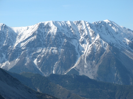
IMG_5757.JPG
2592x1944 -
1207 ko la Tęte de Chabričres devrait ętre derričre Gourgeas et Tromas mais cachée sans doute ?
|
| 
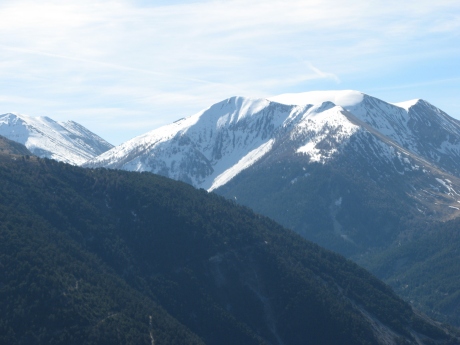
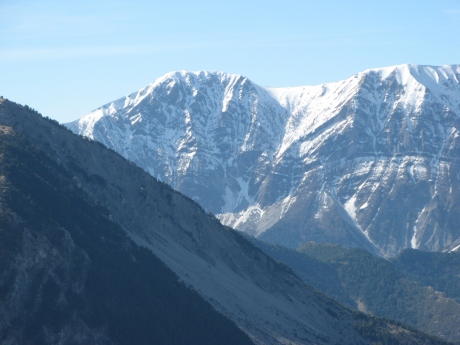
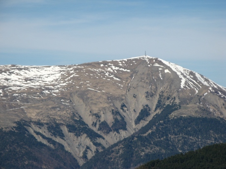
IMG_5758.JPG
2592x1944 -
1326 ko 2603 au centre : cręte de Chabričres, prčs des Mées
|
|
IMG_5759.JPG
2592x1944 -
1312 ko la Basse sombre au centre droit, si j'ai tout compris, les 3 Evęchés sont cachés derričre les Mées en haut
|
| 
IMG_5760.JPG
2592x1944 -
1342 ko le maxi dans le champ de vision lŕ-bas au fond ŕ droite serait la Tęte Noire et Rougnous ( Auriac caché )
|
|

IMG_5761.JPG
2592x1944 -
1276 ko |
| 
IMG_5762.JPG
2592x1944 -
1233 ko Mourre Gros sans doute 2652m entre Caduc et Rougnouse
|
|
IMG_5763.JPG
2592x1944 -
1168 ko |
| 
IMG_5764.JPG
2592x1944 -
1096 ko je pense Caduc derričre Cadun ...
|
|
IMG_5765.JPG
2592x1944 -
998 ko |
| 
IMG_5766.JPG
2592x1944 -
919 ko |
|
IMG_5767.JPG
2592x1944 -
933 ko lŕ je dirais Sangraure derričre la montagne de Mourréen et Simance ŕ d
|
| 
IMG_5768.JPG
2592x1944 -
890 ko |
|
IMG_5769.JPG
2592x1944 -
856 ko |
| 
IMG_5770.JPG
2592x1944 -
873 ko Denjouan derričre la cręte de la Chau ou de Vachičres ( ce ne sont pas les noms qui manquent pour celle-lŕ )
|
|
IMG_5771.JPG
2592x1944 -
900 ko |
| 
IMG_5772.JPG
2592x1944 -
906 ko la Montagne de boules et le col de la Baisse
|
|
IMG_5773.JPG
2592x1944 -
864 ko |
| 
IMG_5774.JPG
2592x1944 -
1007 ko et le début de la montagne du Carton
|
|
IMG_5775.JPG
2592x1944 -
1038 ko
|
| 
IMG_5776.JPG
2592x1944 -
1080 ko la Montagne de Carton |
|
IMG_5777.JPG
2592x1944 -
1089 ko |
| 
IMG_5778.JPG
2592x1944 -
1069 ko et le Cheval Blanc ŕ d
|
|
IMG_5779.JPG
2592x1944 -
1096 ko |
| 
IMG_5780.JPG
2592x1944 -
1294 ko |
|
IMG_5781.JPG
2592x1944 -
1577 ko |
| 
IMG_5782.JPG
2592x1944 -
1843 ko |
|

IMG_5783.JPG
2592x1944 -
2054 ko |
| 
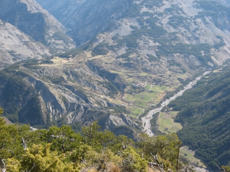
IMG_5784.JPG
2592x1944 -
1968 ko coucou au Cucuyon et Couard
|
|
IMG_5785.JPG
2592x1944 -
1170 ko on repart !
|
| 
IMG_5786.JPG
2592x1944 -
1146 ko la Basse ( col ) au milieu ŕ d, au S-O du Carton
|
|
IMG_5787.JPG
2592x1944 -
1090 ko |
| 
IMG_5788.JPG
2592x1944 -
1054 ko |
|
IMG_5789.JPG
2592x1944 -
1006 ko |
| 
IMG_5790.JPG
2592x1944 -
911 ko |
|

IMG_5791.JPG
2592x1944 -
914 ko |
| 
IMG_5792.JPG
2592x1944 -
847 ko Denjouan au centre arričre
|
|
IMG_5793.JPG
2592x1944 -
906 ko Montagne de Boules
|
| 
IMG_5794.JPG
2592x1944 -
1312 ko Saume Longue ?
|
|
IMG_5795.JPG
2592x1944 -
1023 ko |
| 
IMG_5796.JPG
2592x1944 -
1120 ko |
|

IMG_5797.JPG
2592x1944 -
1018 ko |
| 
IMG_5798.JPG
2592x1944 -
1204 ko
|
|
IMG_5799.JPG
2592x1944 -
1078 ko |
| 
IMG_5800.JPG
2592x1944 -
1806 ko La Favičre ? encore |
|
IMG_5801.JPG
2592x1944 -
1031 ko St Michel de Cousson ŕ Digne derričre Chappe qui est au bout de notre cręte
|
| 
IMG_5802.JPG
2592x1944 -
967 ko Cucuyon, Couard et Coupe avec ŕ flanc au moins Beynes et un bout de Montdenier au dessus
|
|
IMG_5803.JPG
2592x1944 -
899 ko on pourrait avoir au fond : Pré Chauvin ŕ g et le Mourre de Chanier ŕ droite aligné avec ce pointu ! |
| 
IMG_5804.JPG
2592x1944 -
1147 ko |
|
IMG_5805.JPG
2592x1944 -
1617 ko la Bléone
|
| 
IMG_5806.JPG
2592x1944 -
1760 ko |
|
IMG_5807.JPG
2592x1944 -
2073 ko Chappe ŕ g et Fumeis ŕ d
|
| 
IMG_5808.JPG
2592x1944 -
2308 ko |
|
IMG_5809.JPG
2592x1944 -
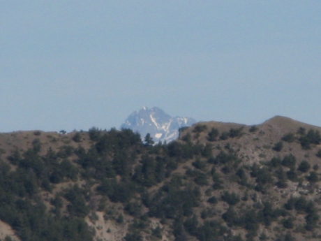
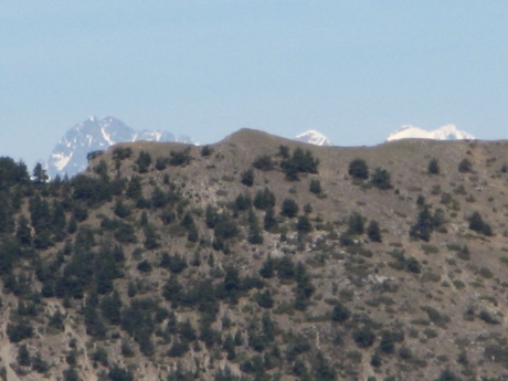
604 ko lŕ on voyait Chaillol et Olan ?
|
| 
IMG_5810.JPG
2592x1944 -
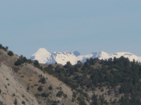
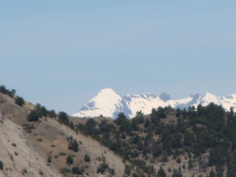
595 ko et lŕ Sirac empilé avec Meije ??
|
|
IMG_5811.JPG
2592x1944 -
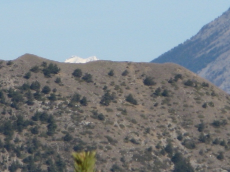
669 ko et lŕ !!! on sait pas !
|
| 
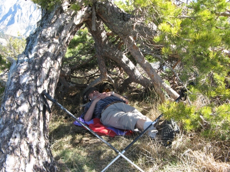
IMG_5812_sieste.JPG
2592x1944 -
2056 ko |
|
IMG_5813.JPG
2592x1944 -
2008 ko don't disturb !
|
| 
IMG_5814.JPG
2592x1944 -
2508 ko |
|
IMG_5816.JPG
2592x1944 -
2456 ko |
| 
IMG_5820.JPG
3072x2304 -
4283 ko |
|
IMG_5821.JPG
3072x2304 -
3619 ko |
| 
IMG_5822.JPG
3072x2304 -
3594 ko |
|
IMG_5823.JPG
3072x2304 -
3038 ko |
| 
IMG_5824.JPG
3072x2304 -
3483 ko |
|
IMG_5825.JPG
3072x2304 -
3679 ko |
| 
IMG_5826.JPG
3072x2304 -
3189 ko |
|
IMG_5827.JPG
3072x2304 -
2880 ko |
| 
IMG_5828.JPG
3072x2304 -
3394 ko |
|
IMG_5829.JPG
3072x2304 -
2831 ko |
| 
IMG_5830.JPG
3072x2304 -
2961 ko |
|
IMG_5831.JPG
3072x2304 -
2902 ko |
| 
IMG_5832.JPG
3072x2304 -
3056 ko |
|
IMG_5833.JPG
3072x2304 -
3537 ko |
| 
IMG_5834.JPG
3072x2304 -
3015 ko |
|
IMG_5835.JPG
3072x2304 -
2819 ko |
| 
IMG_5836.JPG
3072x2304 -
3298 ko |
|
IMG_5837.JPG
3072x2304 -
1248 ko |
| 
IMG_5838.JPG
3072x2304 -
1399 ko |
|

IMG_5839.JPG
3072x2304 -
1225 ko Neillčre
|
| 
IMG_5840.JPG
3072x2304 -
1351 ko Bernardez
|
|
IMG_5841.JPG
3072x2304 -
1299 ko |
| 
IMG_5842.JPG
3072x2304 -
1359 ko l'Aiguille
|
|
IMG_5843.JPG
3072x2304 -
1342 ko le Chameau
|
| 
IMG_5844.JPG
3072x2304 -
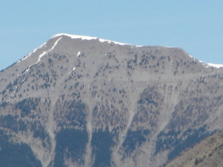
2699 ko la Tęte du Bau
|
|
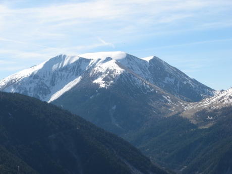
IMG_5845.JPG
3072x2304 -
1595 ko zoom sur la cręte de Chabričres
|
| 
IMG_5846.JPG
3072x2304 -
2140 ko j'avais voté pour Mourre Gros...
|
|

IMG_5847.JPG
3072x2304 -
2281 ko Caduc
|
| 
IMG_5848.JPG
3072x2304 -
2009 ko Denjouan |
|
IMG_5849.JPG
3072x2304 -
2823 ko |
| 
IMG_5850.JPG
3072x2304 -
1958 ko Sommet du Cheval Blanc
|
|
IMG_5851.JPG
3072x2304 -
1629 ko Cucuyon et Couard
|
| 
IMG_5852.JPG
3072x2304 -
2401 ko et celui qui guette ce qu'on lui a laissé ( croűtes de fromage et épluchures de fruits )
|
|

IMG_5853_panneau.JPG
2592x1944 -
1613 ko le panneau de départ, au bord de la route
|
| 
IMG_5854.JPG
2592x1944 -
1652 ko
|
|

IMG_5855.JPG
2592x1944 -
2441 ko le sentier démarre ŕ sa gauche |
| 
IMG_5856_parking.JPG
2592x1944 -
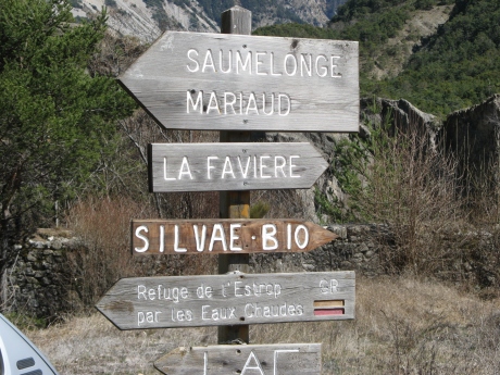
1974 ko les panneaux au parking ŕ l'intersection
|
|
IMG_5857.JPG
2592x1944 -
1625 ko |
| 
IMG_5858.JPG
2592x1944 -
1694 ko |
|
IMG_5859.JPG
2592x1944 -
1465 ko notre sommet
|
|
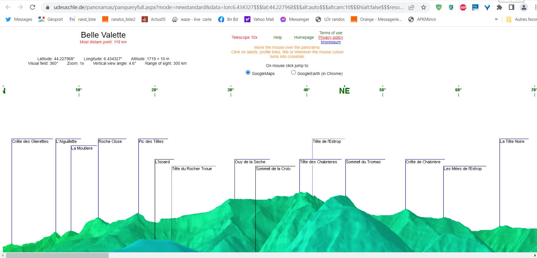
Panorama virtuel sur 360° ---- cliquer
|
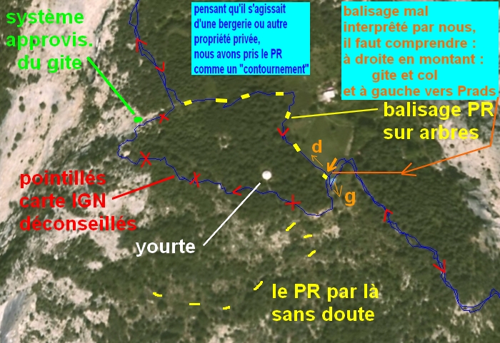
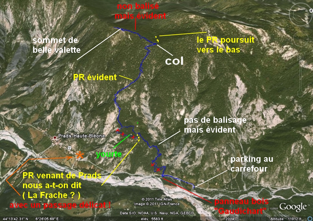
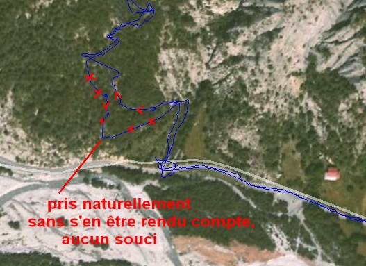
Précisions apportées en 2023
Je veux rendre hommage ici au logiciel de Ulrich Deuschle
que je ne connaissais pas ŕ l'époque de la balade ( 2011 ) , et donc,
avant 2014, je nommais les sommets par recoupements et alignements,
sans avoir les moyens de savoir si les choses étaient bonnes ou non...
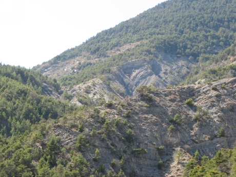
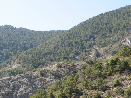
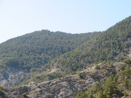
Ainsi, je vais donner un exemple précis pour la photo 5759 que
j'ai nommé le col de La Basse, j'explique grâce aux clips qui suivent
comment repérer avec précision maintenant
Vous pouvez cliquer sur ces 3 images ----->
|
|
pointage et clic sur le pano virtuel ŕ 360°
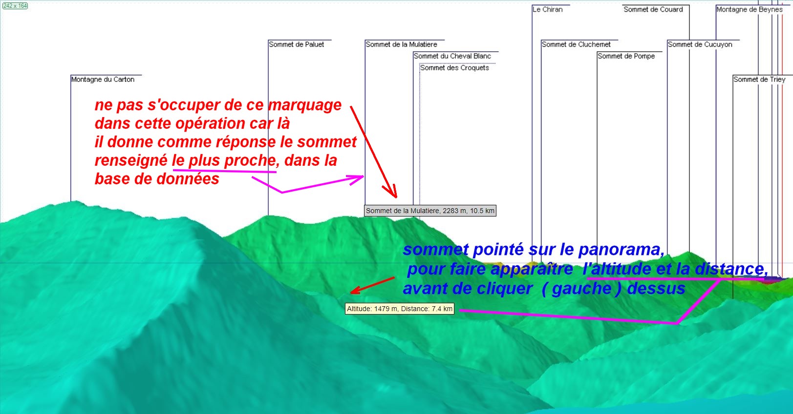
N.B : Si vous n'avez pas de
fenętre "altitude distance" qui s'ouvre, zoomez la
zone avant
|
|
|
Ouverture de la fenętre résultat
|
|
Réalité du terrain avec Géoportail en 2023

|
|