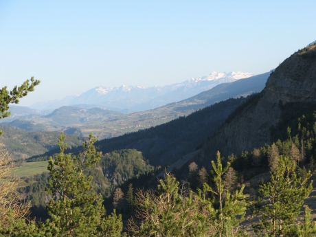
IMG_5861.JPG_montee piste
2592x1944 - 1283 ko
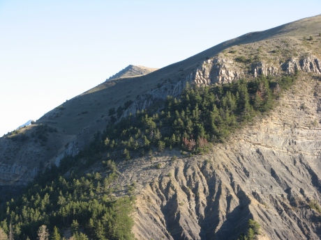
IMG_5862.JPG
2592x1944 - 1467 ko
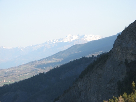
IMG_5863.JPG
2592x1944 - 803 ko
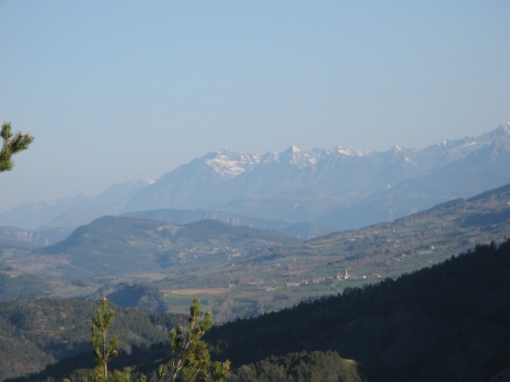
IMG_5864.JPG
2592x1944 - 853 ko
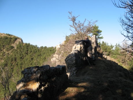
IMG_5865.JPG_casse croute
2592x1944 - 1476 ko la table est belle
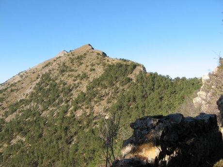
IMG_5866.JPG
2592x1944 - 1519 ko ce qui nous tend les bras, sommet à flanc

IMG_5867.JPG
2592x1944 - 1402 ko
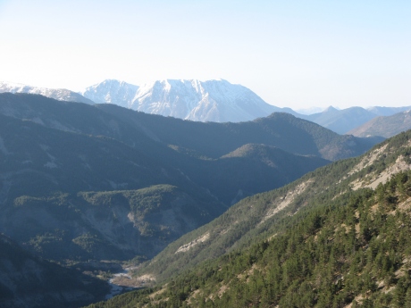
IMG_5868.JPG
2592x1944 - 1075 ko
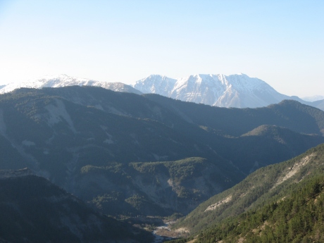
IMG_5869.JPG
2592x1944 - 903 ko
IMG_5870.JPG
2592x1944 - 782 ko
IMG_5871.JPG
2592x1944 - 702 ko
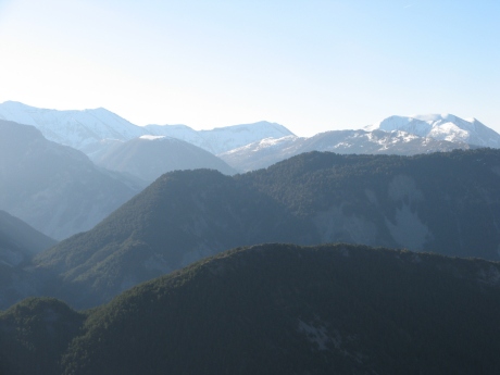
IMG_5872.JPG
2592x1944 - 730 ko
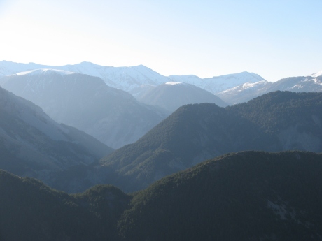
IMG_5873.JPG
2592x1944 - 717 ko
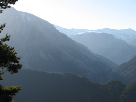
IMG_5874.JPG
2592x1944 - 801 ko
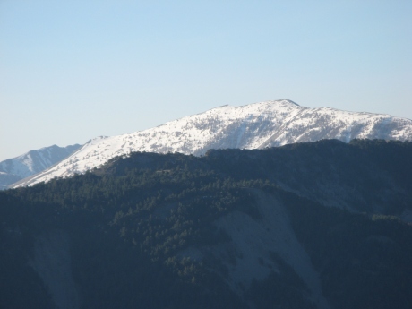
IMG_5875.JPG
2592x1944 - 822 ko
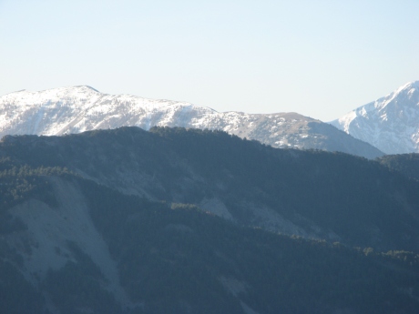
IMG_5876.JPG
2592x1944 - 794 ko
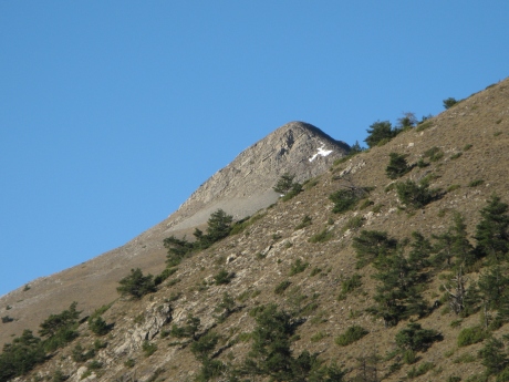
IMG_5877.JPG
2592x1944 - 1402 ko zoom sur le sommet
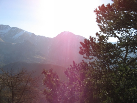
IMG_5878.JPG_crete beliers
2592x1944 - 1236 ko
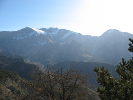
IMG_5879.JPG
2592x1944 - 992 ko
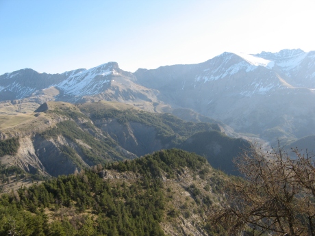
IMG_5880.JPG
2592x1944 - 1309 ko
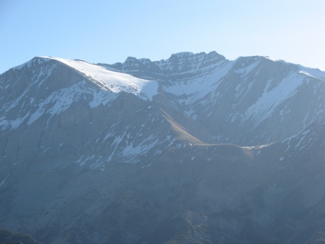
IMG_5881.JPG
2592x1944 - 859 ko
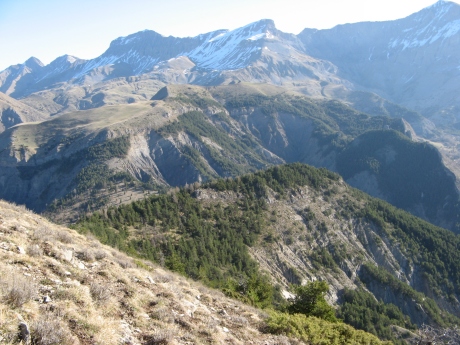
IMG_5882.JPG_cb2
2592x1944 - 1678 ko
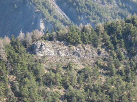
IMG_5883.JPG
2592x1944 - 1849 ko notre "mur" du casse-croûte au centre
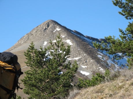
IMG_5884.JPG
2592x1944 - 1492 ko la belle pente du sommet
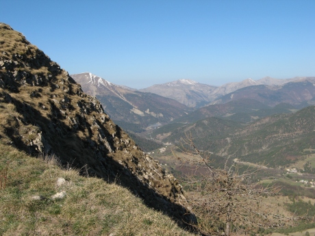
IMG_5885.JPG_cb3
2592x1944 - 1595 ko
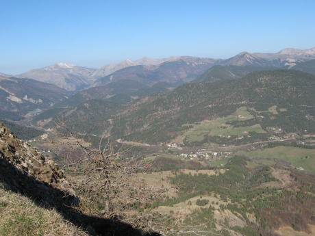
IMG_5886.JPG
2592x1944 - 1411 ko
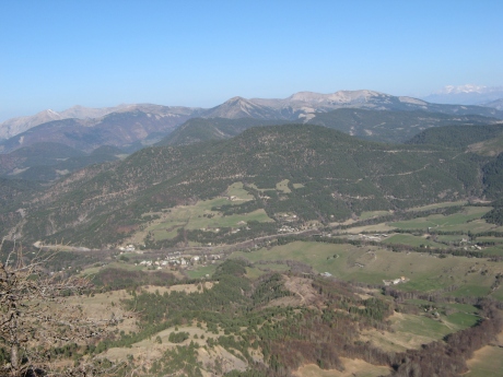
IMG_5887.JPG
2592x1944 - 1259 ko
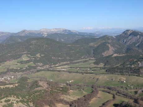
IMG_5888.JPG
2592x1944 - 1199 ko
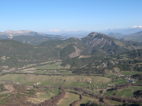
IMG_5889.JPG
2592x1944 - 1190 ko
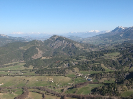
IMG_5890.JPG
2592x1944 - 1190 ko

IMG_5891.JPG
2592x1944 - 1284 ko
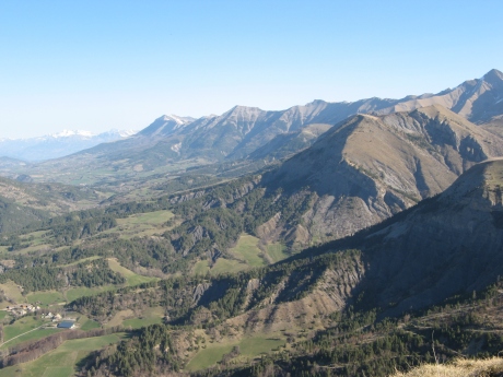
IMG_5892.JPG
2592x1944 - 1280 ko

IMG_5893.JPG
2592x1944 - 1396 ko

IMG_5894.JPG
2592x1944 - 1470 ko
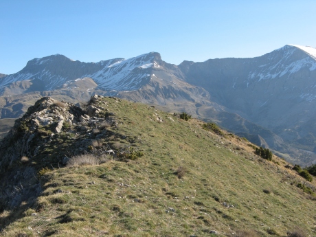
IMG_5895.JPG
2592x1944 - 1612 ko
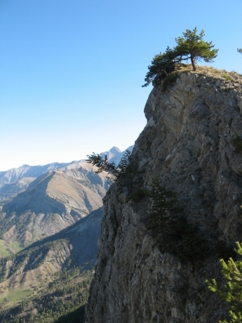
IMG_5896.JPG_cb4
2592x1944 - 1231 ko
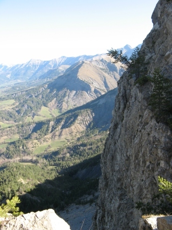
IMG_5897.JPG
2592x1944 - 1383 ko
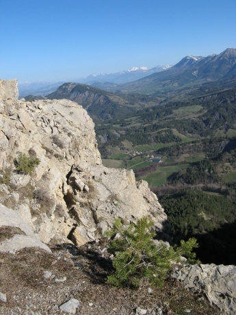
IMG_5898.JPG
2592x1944 - 1744 ko
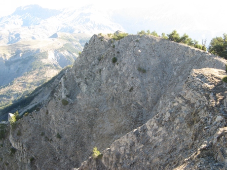
IMG_5899.JPG_cb5
2592x1944 - 1585 ko
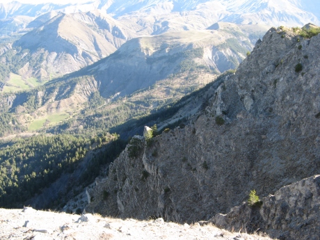
IMG_5900.JPG
2592x1944 - 1713 ko
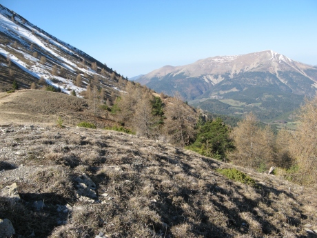
IMG_5901.JPG
2592x1944 - 2022 ko
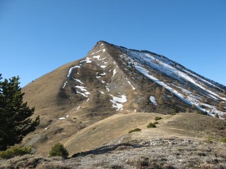
IMG_5902.JPG
2592x1944 - 1687 ko bientôt .......y a plus qu'à ...
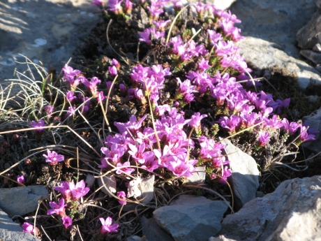
IMG_5903.JPG
2592x1944 - 1451 ko les chamois ont été aperçus mais ne nous ont pas attendus, on se rabat sur les fleurs !
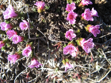
IMG_5904.JPG
2592x1944 - 1572 ko
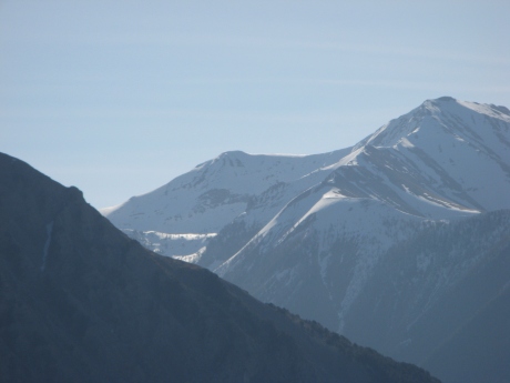
IMG_5905.JPG
2592x1944 - 787 ko celui-là était caché par Caduc
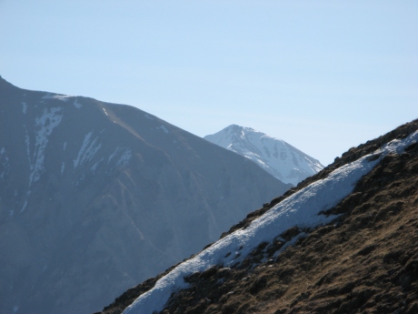
IMG_5906.JPG_finale
2592x1944 - 888 ko au pied de Tromas
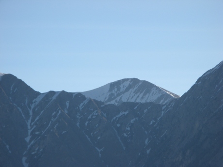
IMG_5907.JPG
2592x1944 - 756 ko entre Crête de Chabrières à g et Gourgeas
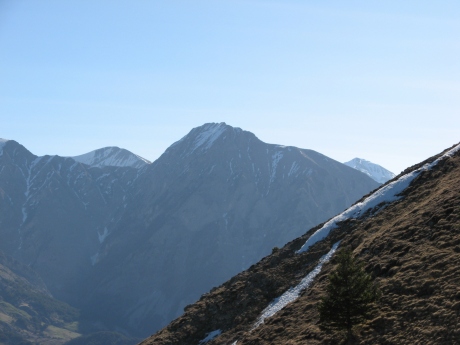
IMG_5908.JPG
2592x1944 - 923 ko
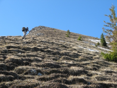
IMG_5909.JPG
2592x1944 - 1986 ko on y est ...
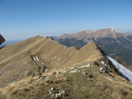
IMG_5910.JPG_sommet
2592x1944 - 1595 ko la récompense !
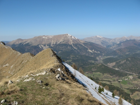
IMG_5911.JPG
2592x1944 - 1472 ko
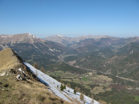
IMG_5912.JPG
2592x1944 - 1364 ko
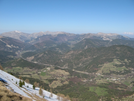
IMG_5913.JPG
2592x1944 - 1247 ko
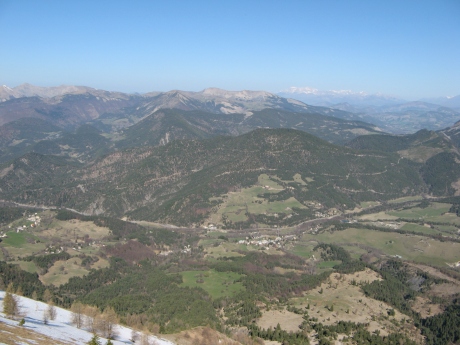
IMG_5914.JPG
2592x1944 - 1263 ko
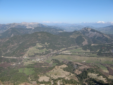
IMG_5915.JPG
2592x1944 - 1258 ko

IMG_5916.JPG
2592x1944 - 1285 ko
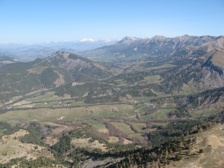
IMG_5917.JPG
2592x1944 - 1325 ko
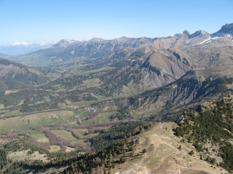
IMG_5918.JPG
2592x1944 - 1449 ko
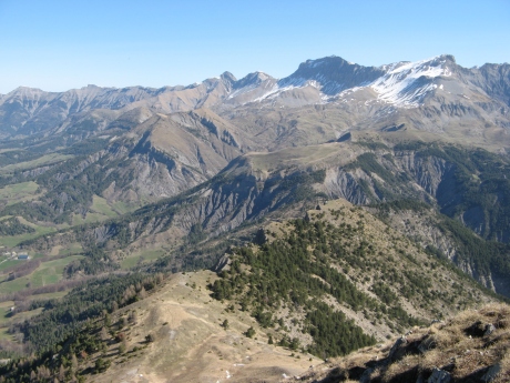
IMG_5919.JPG
2592x1944 - 1571 ko
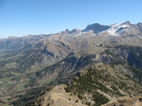
IMG_5920.JPG
2592x1944 - 1469 ko la crête des Béliers faite en bas
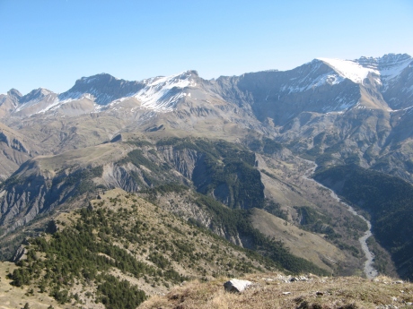
IMG_5921.JPG
2592x1944 - 1518 ko Val Pousane et le Pic des Têtes
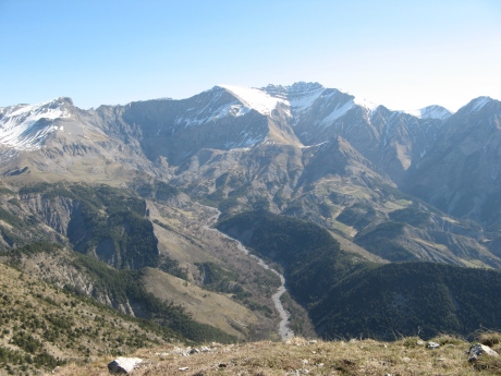
IMG_5922.JPG
2592x1944 - 1358 ko
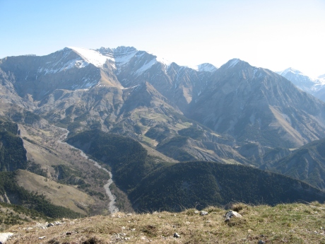
IMG_5923.JPG
2592x1944 - 1333 ko
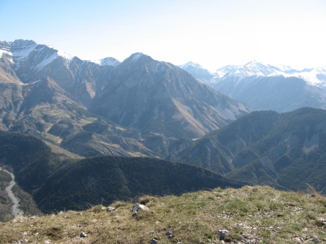
IMG_5924.JPG
2592x1944 - 1321 ko
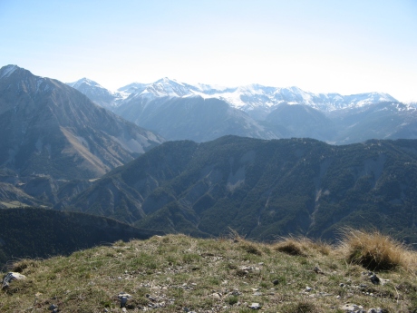
IMG_5925.JPG
2592x1944 - 1307 ko
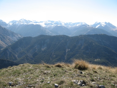
IMG_5926.JPG
2592x1944 - 1402 ko
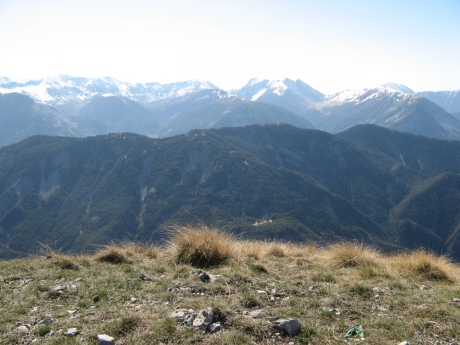
IMG_5927.JPG
2592x1944 - 1434 ko
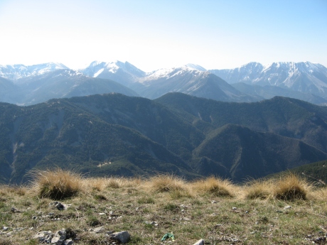
IMG_5928.JPG
2592x1944 - 1399 ko
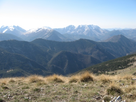
IMG_5929.JPG
2592x1944 - 1423 ko
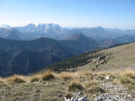
IMG_5930.JPG
2592x1944 - 1501 ko au milieu : Fumeis et Chappe
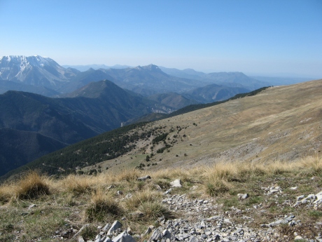
IMG_5931.JPG
2592x1944 - 1564 ko
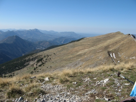
IMG_5932.JPG
2592x1944 - 1601 ko
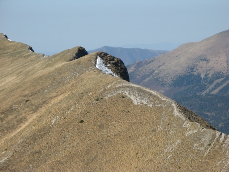
IMG_5933.JPG
2592x1944 - 1341 ko sans doute la Bigue entre les 2
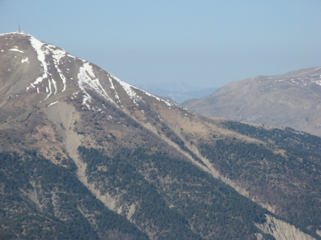
IMG_5934.JPG
2592x1944 - 1103 ko c'est bien le Ventoux entre Blayeul et Chine
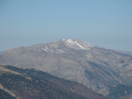
IMG_5935.JPG
2592x1944 - 917 ko
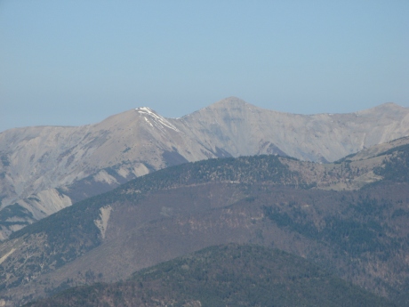
IMG_5936.JPG
2592x1944 - 931 ko Laupie et Cimette
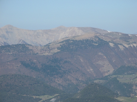
IMG_5937.JPG
2592x1944 - 937 ko et Oratoire, Marzenc dessous
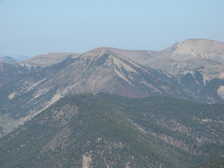
IMG_5938.JPG
2592x1944 - 1044 ko Clot de Bouc vers nous
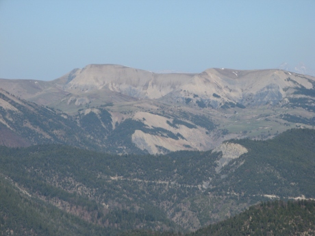
IMG_5939.JPG
2592x1944 - 1025 ko Tête Grosse et Chabanon
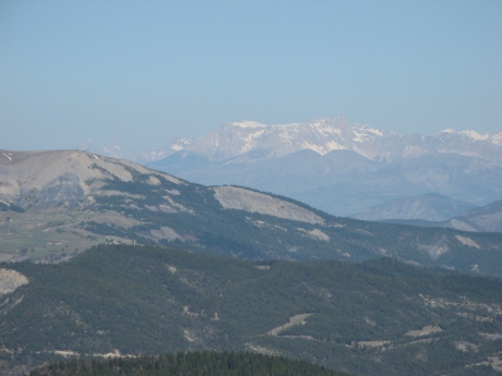
IMG_5940.JPG
2592x1944 - 923 ko Bure

IMG_5941.JPG
2592x1944 - 938 ko
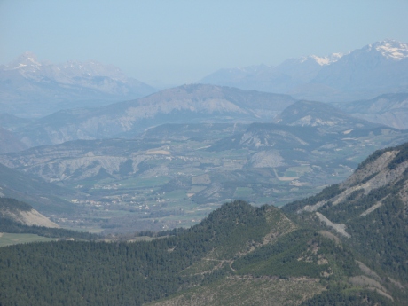
IMG_5942.JPG
2592x1944 - 983 ko Colombis au centre
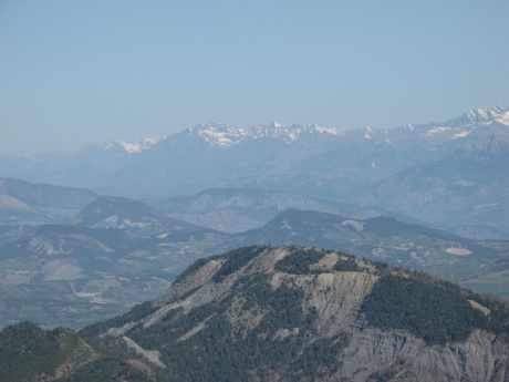
IMG_5943.JPG
2592x1944 - 965 ko
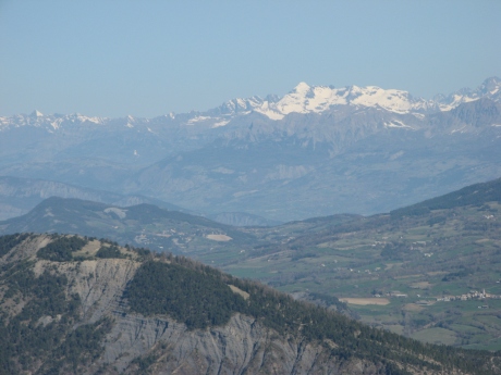
IMG_5944.JPG
2592x1944 - 1000 ko le Chaillol
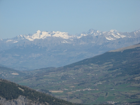
IMG_5945.JPG
2592x1944 - 960 ko
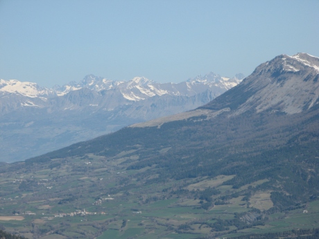
IMG_5946.JPG
2592x1944 - 970 ko
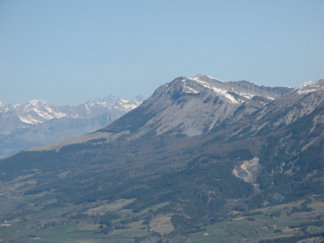
IMG_5947.JPG
2592x1944 - 970 ko
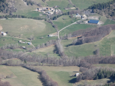
IMG_5948.JPG
2592x1944 - 1182 ko notre voiture est là, au centre vers les maisons
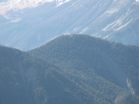
IMG_5949.JPG
2592x1944 - 936 ko notre sommet de mercredi : Belle Valette
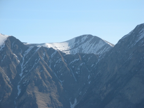
IMG_5950.JPG
2592x1944 - 867 ko Mées de l'Estrop
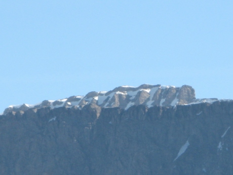
IMG_5951.JPG
2592x1944 - 559 ko à g de l'Estrop
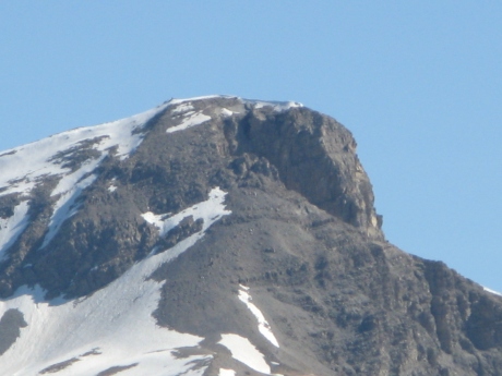
IMG_5952.JPG
2592x1944 - 706 ko
IMG_5953.JPG
2592x1944 - 713 ko
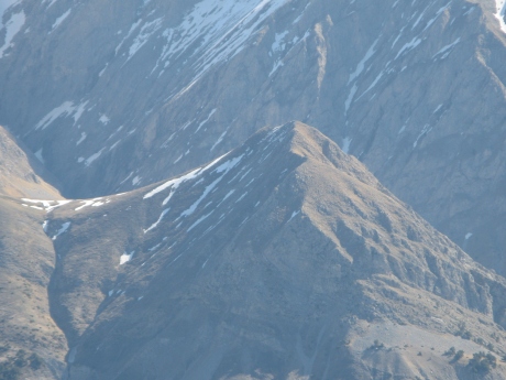
IMG_5954.JPG
2592x1944 - 1147 ko la Tête du Bau
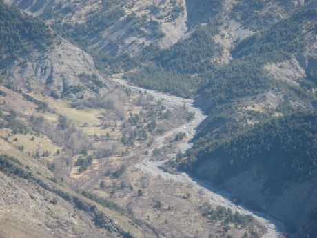
IMG_5955.JPG
2592x1944 - 1389 ko le Galèbre coule là
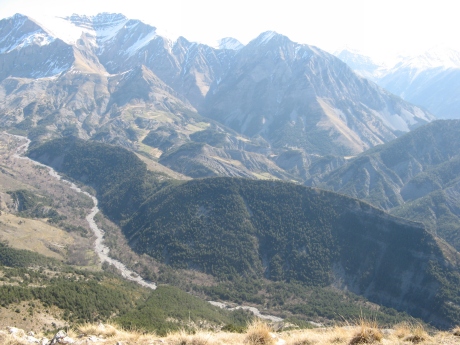
IMG_5956.JPG
2592x1944 - 1373 ko
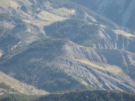
IMG_5957.JPG
2592x1944 - 1201 ko
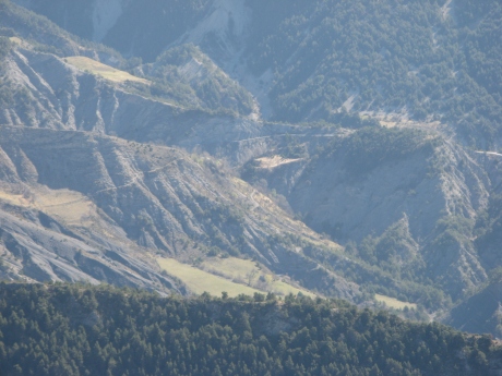
IMG_5958.JPG
2592x1944 - 1172 ko
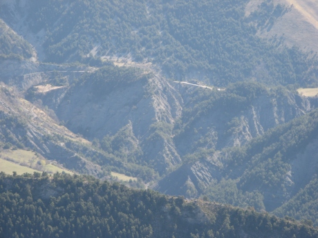
IMG_5959.JPG
2592x1944 - 1170 ko la Chucheire ?
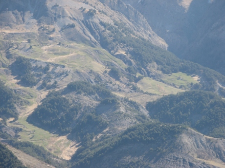
IMG_5960.JPG
2592x1944 - 1170 ko
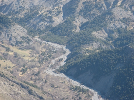
IMG_5961.JPG
2592x1944 - 1365 ko
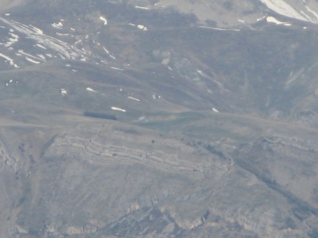
IMG_5962.JPG
2592x1944 - 616 ko zoom sur la bergerie de Chine

IMG_5963.JPG
2592x1944 - 1031 ko
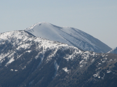
IMG_5966.JPG
3072x2304 - 1790 ko le Mourre-Frey derrière le Carton
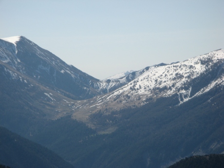
IMG_5967.JPG
3072x2304 - 2484 ko le col de la Baisse
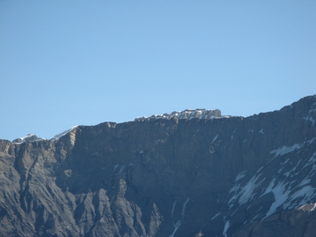
IMG_5968.JPG
3072x2304 - 2390 ko
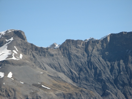
IMG_5969.JPG
3072x2304 - 2783 ko
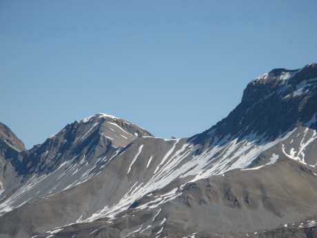
IMG_5970.JPG
3072x2304 - 2566 ko col La Pierre
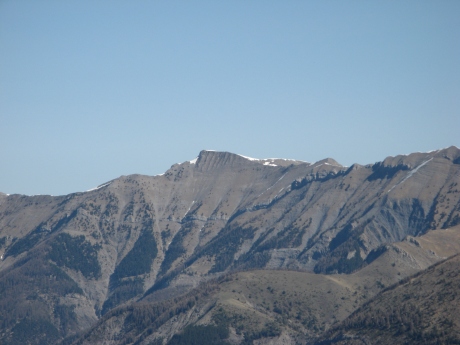
IMG_5971.JPG
3072x2304 - 2547 ko
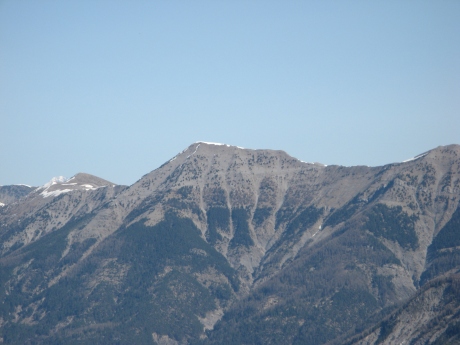
IMG_5972.JPG
3072x2304 - 2589 ko
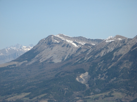
IMG_5973.JPG
3072x2304 - 2608 ko
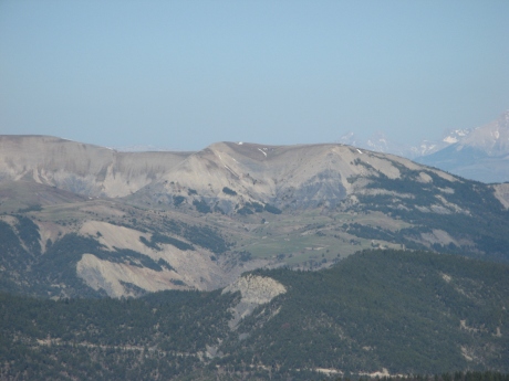
IMG_5974.JPG
3072x2304 - 2527 ko
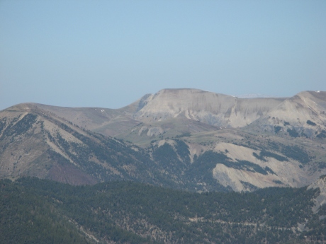
IMG_5975.JPG
3072x2304 - 2559 ko
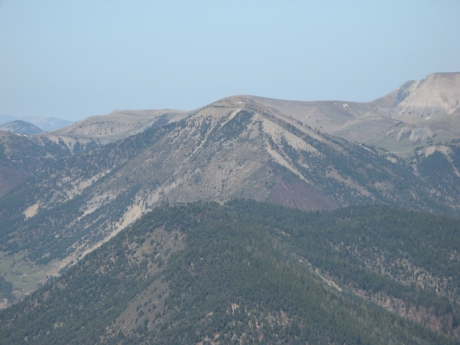
IMG_5976.JPG
3072x2304 - 2750 ko derrière Clot de Bouc les Tomples ?
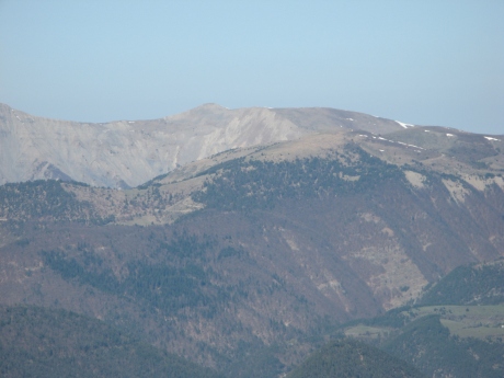
IMG_5977.JPG
3072x2304 - 2448 ko
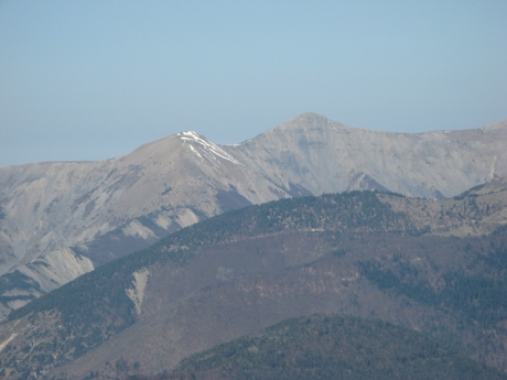
IMG_5978.JPG
3072x2304 - 2476 ko
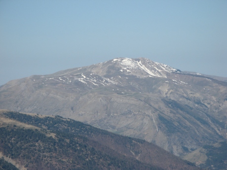
IMG_5979.JPG
3072x2304 - 2517 ko les Monges
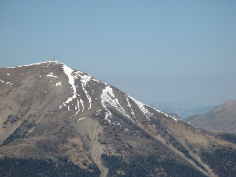
IMG_5980.JPG
3072x2304 - 2554 ko
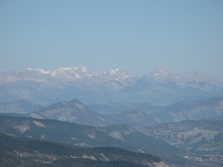
IMG_5981.JPG
2592x1944 - 836 ko Obiou et col du Noyer
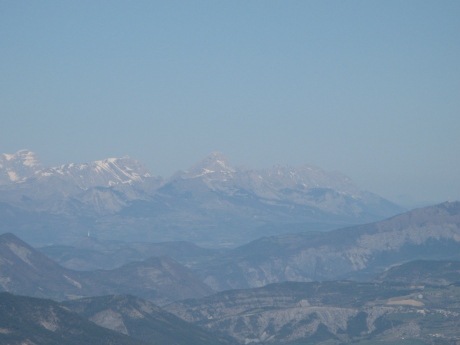
IMG_5982.JPG
2592x1944 - 870 ko là on a pas tout compris !

IMG_5983.JPG
2592x1944 - 536 ko Obiou
IMG_5984.JPG
2592x1944 - 541 ko
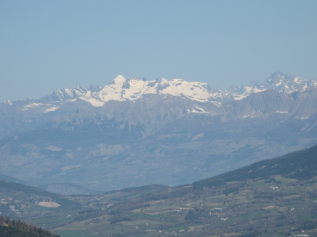
IMG_5986.JPG
2592x1944 - 954 ko
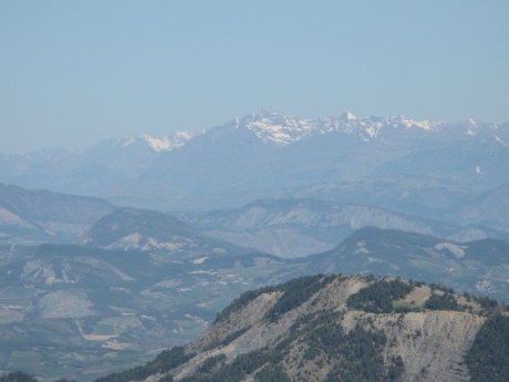
IMG_5987.JPG
2592x1944 - 975 ko
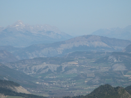
IMG_5988.JPG
2592x1944 - 944 ko
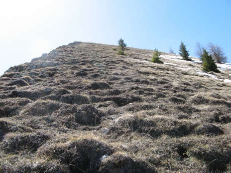
IMG_5989.JPG_descente
2592x1944 - 2094 ko en haut .......
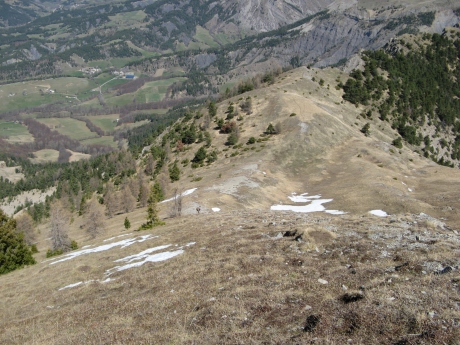
IMG_5990.JPG
2592x1944 - 1987 ko en bas............ l'arbre à sieste est là
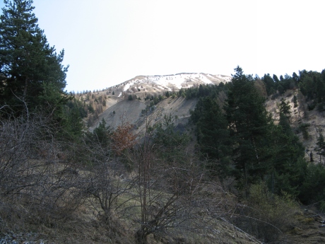
IMG_5991.JPG_arrivee
2592x1944 - 1441 ko longue decente éprouvante pour les genoux
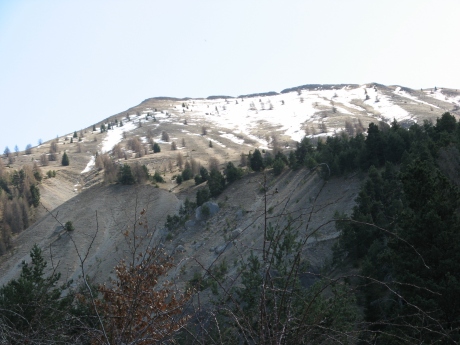
IMG_5992.JPG
2592x1944 - 1257 ko
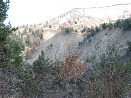
IMG_5993.JPG
2592x1944 - 1789 ko
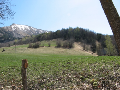
IMG_5994.JPG
2592x1944 - 1863 ko pour atterrir dans ce champ à contourner
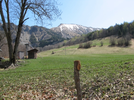
IMG_5995.JPG
2592x1944 - 2101 ko on était là-haut !
