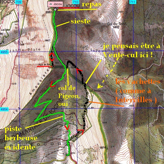
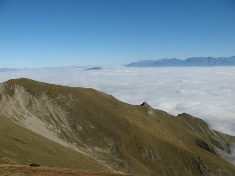
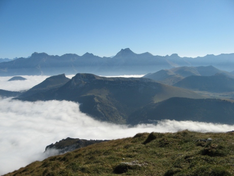
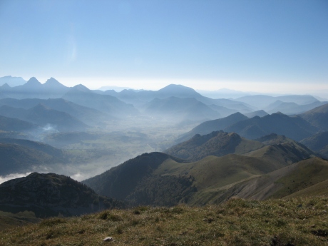
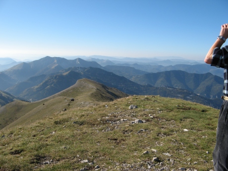
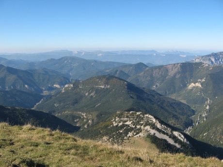
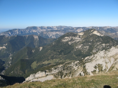
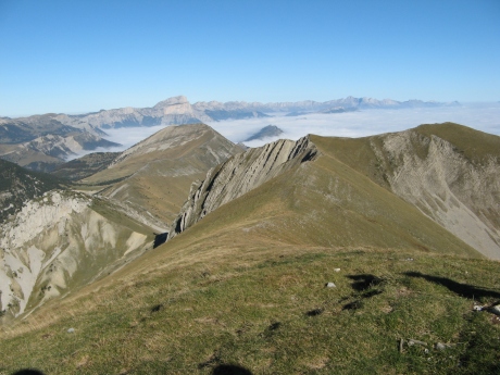
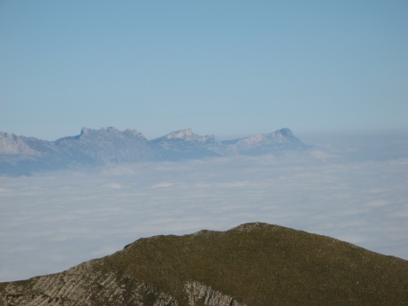
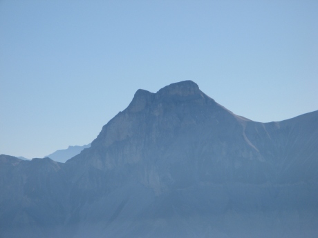
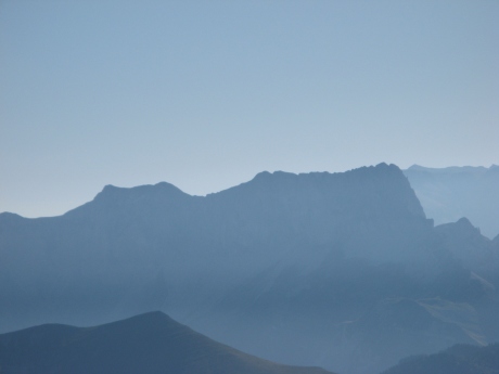
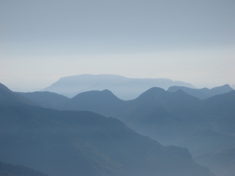
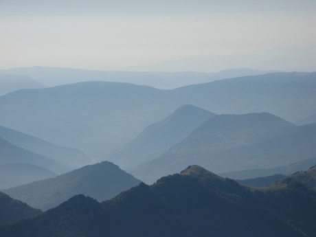
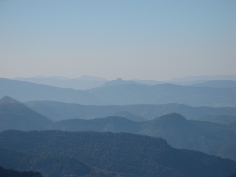
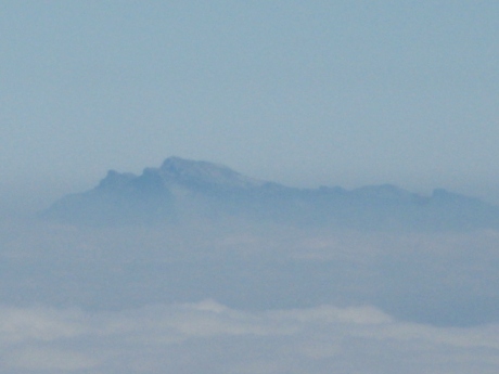
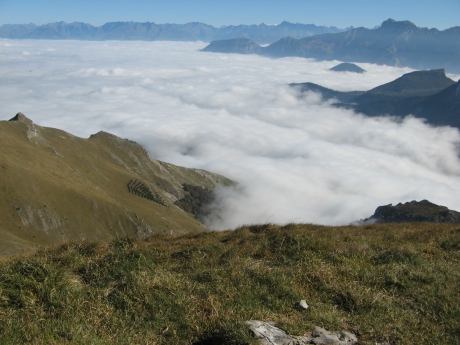
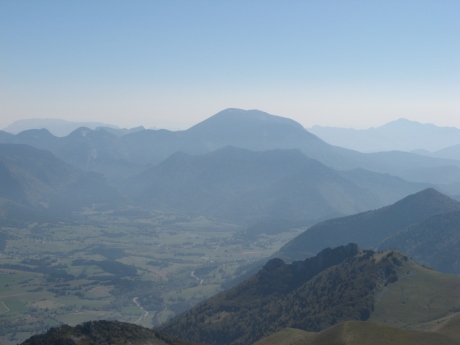
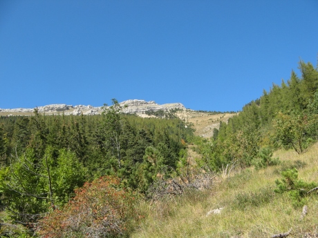
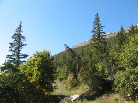
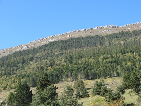
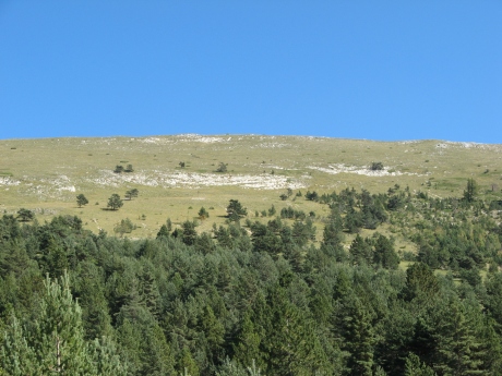
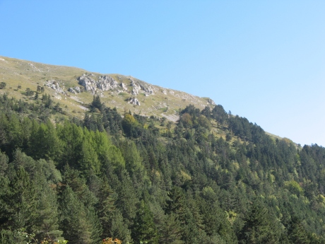
IMG_9289_sommet_2051.JPG
Voir Panorama 9289 ŕ 9318 de 360° ŕ la fin
2592x1944 -
2346 ko terminus, y'a plus qu'ŕ savourer !
|
| 
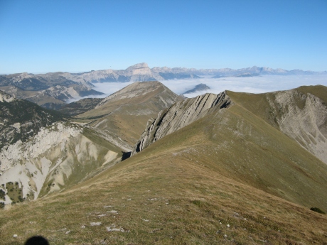
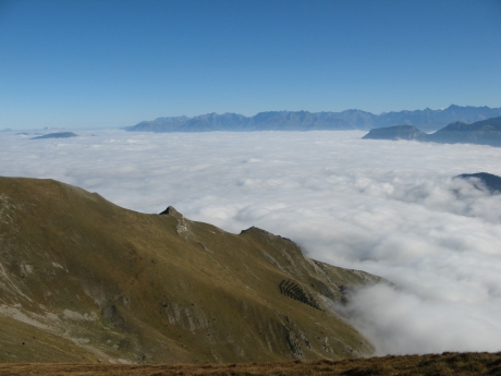
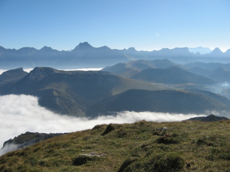
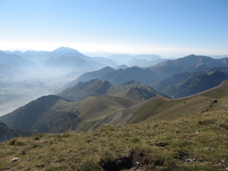
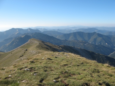
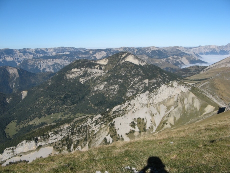
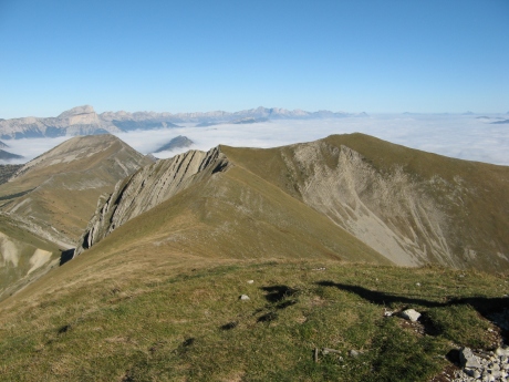
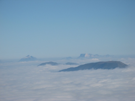
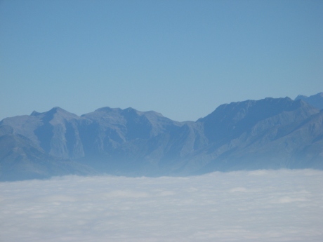
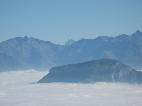
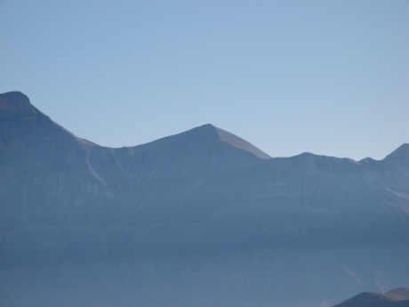
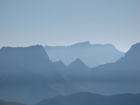
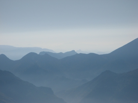
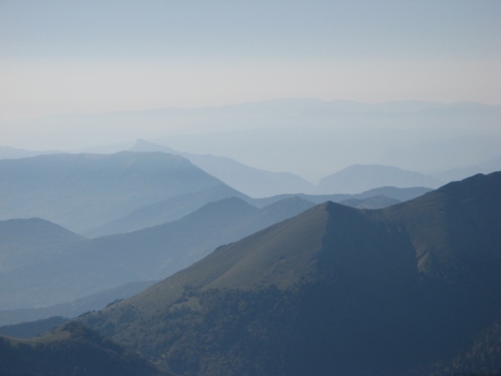
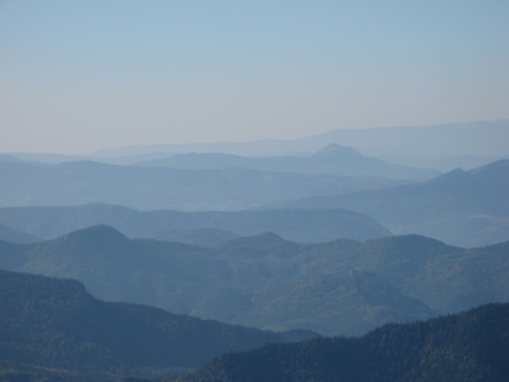
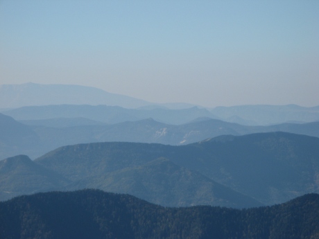
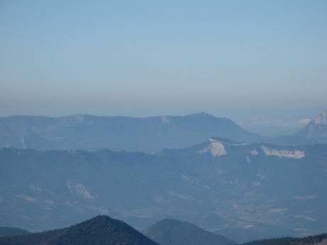
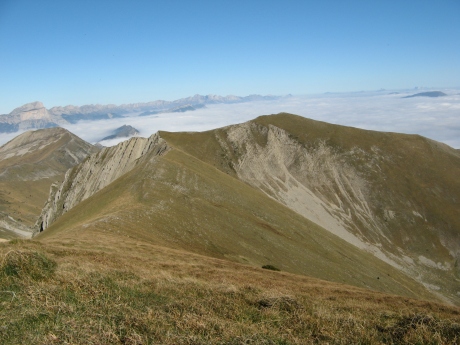
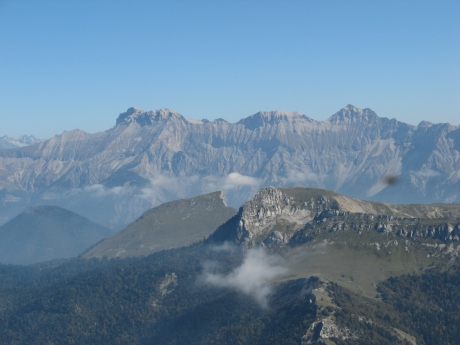
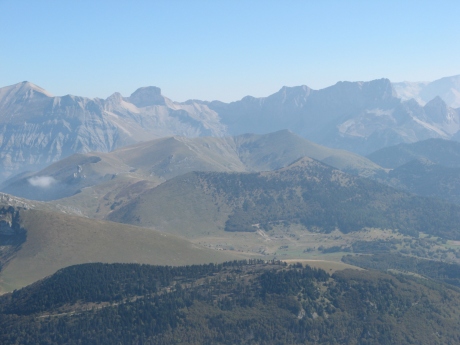
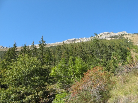
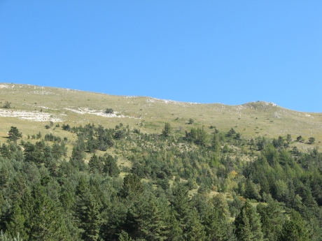
IMG_9290.JPG
2592x1944 -
2157 ko la męme couche de nuages que lors de la rando du Rognon, je ne renommerai pas tous les sommets ici ...
|
|
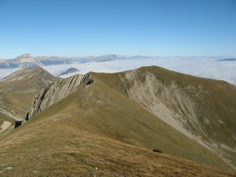
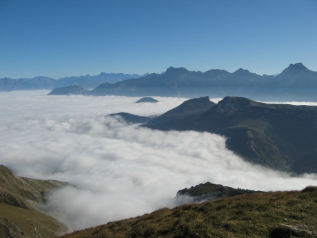
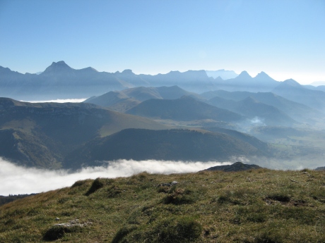
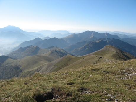
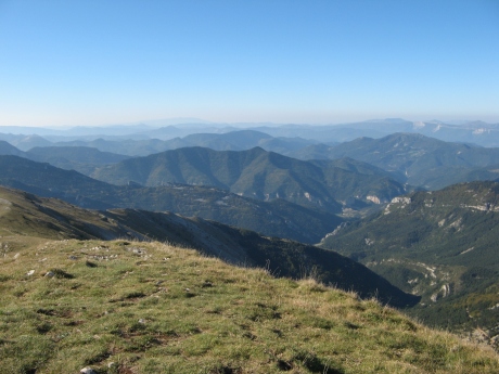
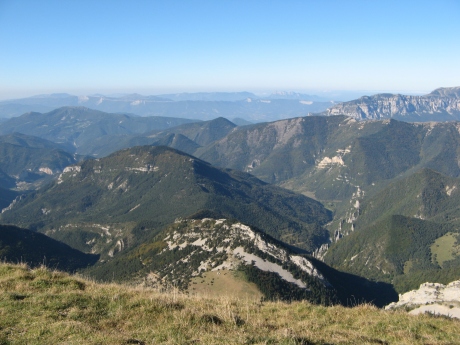
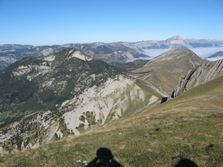
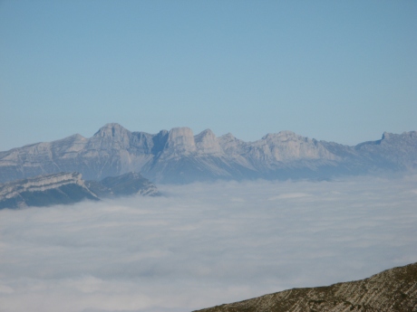
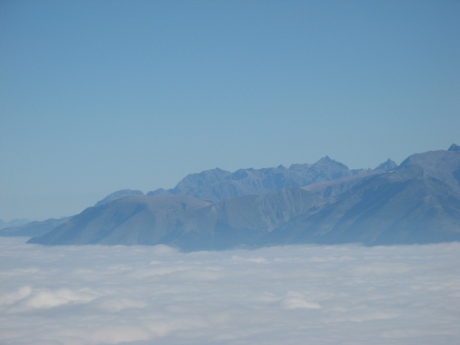
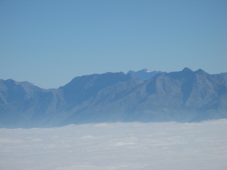
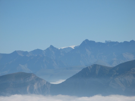
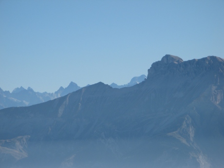
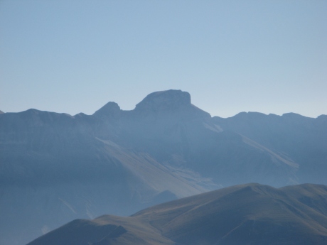
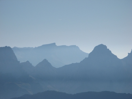
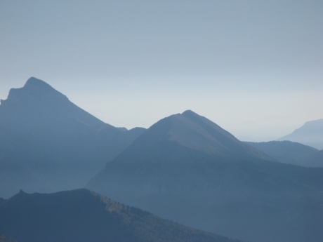
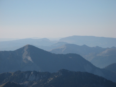
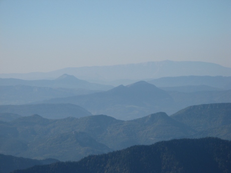
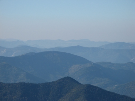
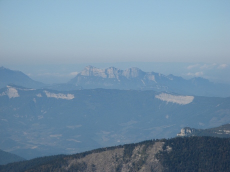
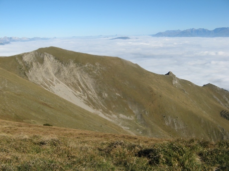
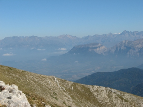
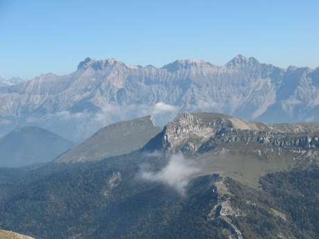
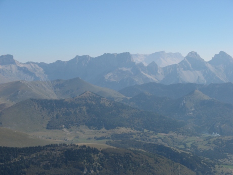
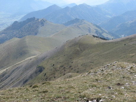
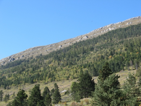
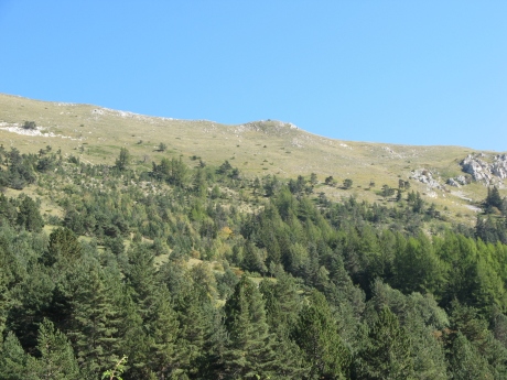
IMG_9291.JPG
2592x1944 -
2057 ko le Col de Seysse ŕ g.
|
| 
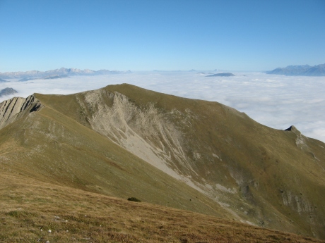
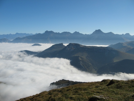
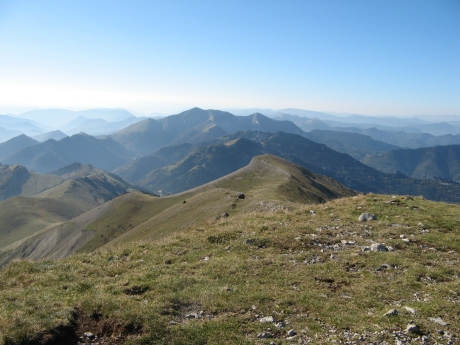
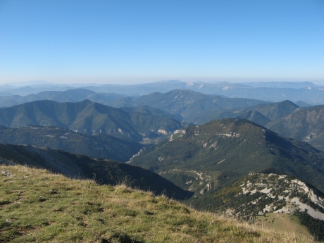
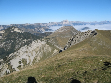
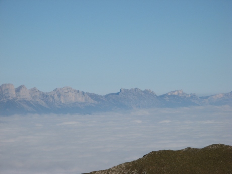
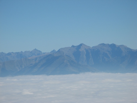
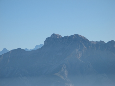
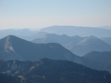
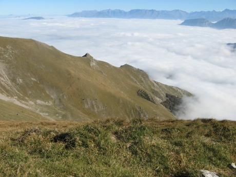
IMG_9292.JPG
2592x1944 -
1734 ko |
|
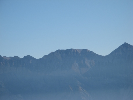
IMG_9293.JPG
2592x1944 -
1617 ko |
| 
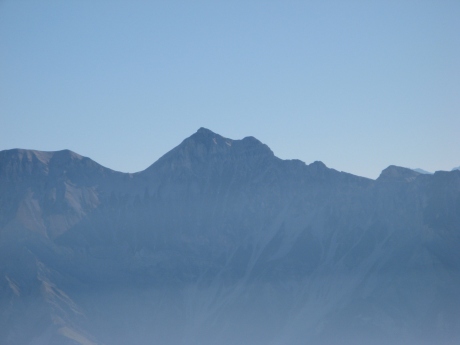
IMG_9294.JPG
2592x1944 -
1550 ko |
|
IMG_9295.JPG
2592x1944 -
1598 ko |
| 
IMG_9296.JPG
2592x1944 -
1629 ko |
|
IMG_9297.JPG
2592x1944 -
1745 ko |
| 
IMG_9298.JPG
2592x1944 -
1914 ko |
|
IMG_9299.JPG
2592x1944 -
1952 ko |
| 
IMG_9300.JPG
2592x1944 -
1668 ko |
|
IMG_9301.JPG
2592x1944 -
1743 ko |
| 
IMG_9302.JPG
2592x1944 -
2045 ko |
|
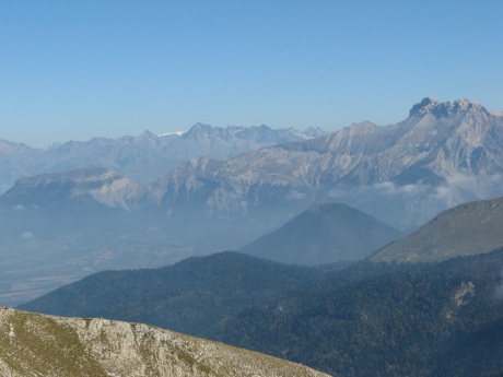
IMG_9303.JPG
2592x1944 -
2251 ko |
| 
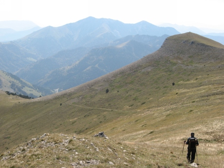
IMG_9304.JPG
2592x1944 -
2388 ko le point de vue "en bas"
|
|
IMG_9305.JPG
2592x1944 -
2455 ko |
| 
IMG_9306.JPG
2592x1944 -
2387 ko |
|
IMG_9307.JPG
2592x1944 -
2239 ko |
| 
IMG_9308.JPG
2592x1944 -
2147 ko |
|
IMG_9309.JPG
2592x1944 -
2223 ko |
| 
IMG_9310.JPG
2592x1944 -
2339 ko |
|
IMG_9311.JPG
2592x1944 -
2372 ko |
| 
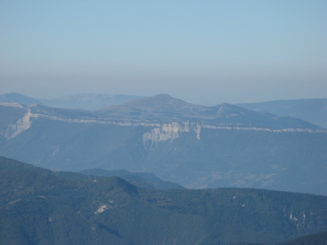
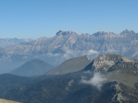
IMG_9312.JPG
2592x1944 -
2400 ko |
|
IMG_9313.JPG
2592x1944 -
2345 ko le Glandasse ŕ l'arričre
|
| 
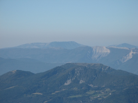
IMG_9314.JPG
2592x1944 -
2467 ko |
|
IMG_9315.JPG
2592x1944 -
2539 ko
au centre g., au fond, un bout de la Tęte de Praorzel, le sommet
de la Montagnette et la Tęte Chevaličre ( faite récemment ) ( la
Montagne de Belle Motte ŕ g. )
|
| 
IMG_9316.JPG
2592x1944 -
2444 ko |
|
IMG_9317.JPG
2592x1944 -
2501 ko |
| 
IMG_9318.JPG
2592x1944 -
2426 ko |
|

IMG_9319.JPG
2592x1944 -
1384 ko |
| 
IMG_9320.JPG
2592x1944 -
1440 ko les Petite et Gde Moucherolle et les 2 Soeurs ( Agathe et Sophie )
|
|
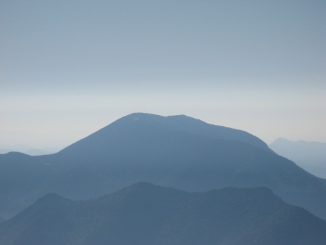
IMG_9321.JPG
2592x1944 -
1413 ko le Roc de Cornafion sans doute au centre
|
| 
IMG_9322.JPG
2592x1944 -
1522 ko suivi du Pic St Michel et du Moucherotte
|
|
IMG_9323.JPG
2592x1944 -
1339 ko |
| 
IMG_9324.JPG
2592x1944 -
1352 ko |
|
IMG_9325.JPG
2592x1944 -
1357 ko |
| 
IMG_9326.JPG
2592x1944 -
1358 ko |
|
IMG_9327.JPG
2592x1944 -
1360 ko |
| 
IMG_9328.JPG
2592x1944 -
1362 ko |
|

IMG_9329.JPG
2592x1944 -
1365 ko |
| 
IMG_9330.JPG
2592x1944 -
1379 ko |
|
IMG_9331.JPG
2592x1944 -
1365 ko dans l'échancrure, les Aiguilles d'Arve ?
|
| 
IMG_9332.JPG
2592x1944 -
1390 ko |
|
IMG_9333.JPG
2592x1944 -
1382 ko |
| 
IMG_9334.JPG
2592x1944 -
1380 ko |
|
IMG_9335.JPG
2592x1944 -
1385 ko |
| 
IMG_9336.JPG
2592x1944 -
1379 ko |
|
IMG_9337.JPG
2592x1944 -
1364 ko |
| 
IMG_9338.JPG
2592x1944 -
1388 ko |
|
IMG_9339.JPG
2592x1944 -
1330 ko |
| 
IMG_9340.JPG
2592x1944 -
1350 ko |
|
IMG_9341.JPG
2592x1944 -
1385 ko |
| 
IMG_9342.JPG
2592x1944 -
1350 ko |
|
IMG_9343.JPG
2592x1944 -
1328 ko |
| 
IMG_9344.JPG
2592x1944 -
1341 ko |
|
IMG_9345.JPG
2592x1944 -
1354 ko |
| 
IMG_9346.JPG
2592x1944 -
1360 ko |
|
IMG_9347.JPG
2592x1944 -
1352 ko |
| 
IMG_9348.JPG
2592x1944 -
1334 ko Céüse ŕ l'arričre
|
|
IMG_9349.JPG
2592x1944 -
1348 ko |
| 
IMG_9350.JPG
2592x1944 -
1332 ko |
|
IMG_9351.JPG
2592x1944 -
1377 ko le Col de Marjaries en avant dernier plan
|
| 
IMG_9352.JPG
2592x1944 -
1384 ko la Longeagne et le Pré des Nonnes ŕ g.
|
|
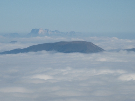
IMG_9354.JPG
2592x1944 -
1402 ko
|
| 
IMG_9355.JPG
2592x1944 -
1431 ko le Duffre au fond
|
|
IMG_9356.JPG
2592x1944 -
1384 ko |
| 
IMG_9357.JPG
2592x1944 -
1405 ko |
|
IMG_9358.JPG
2592x1944 -
1392 ko |
| 
IMG_9359.JPG
2592x1944 -
1383 ko |
|
IMG_9360.JPG
2592x1944 -
1404 ko |
| 
IMG_9361.JPG
2592x1944 -
1413 ko |
|
IMG_9362.JPG
2592x1944 -
1474 ko |
| 
IMG_9363.JPG
2592x1944 -
1490 ko |
|
IMG_9364.JPG
2592x1944 -
1507 ko |
| 
IMG_9365.JPG
2592x1944 -
1412 ko |
|
IMG_9366.JPG
2592x1944 -
1511 ko |
| 
IMG_9367.JPG
2592x1944 -
1945 ko |
|
IMG_9370.JPG
3072x2304 -
1606 ko |
| 
IMG_9371.JPG
3072x2304 -
1093 ko toujours pas de nom ŕ mettre sur les 2 lŕ-bas au plein nord !
|
|
IMG_9372.JPG
2592x1944 -
2404 ko |
| 
IMG_9373.JPG
2592x1944 -
2344 ko |
|
IMG_9374.JPG
2592x1944 -
2492 ko |
| 
IMG_9375.JPG
2592x1944 -
2283 ko |
|
IMG_9376_apres sieste_1992.JPG
Voir Panorama 9376 ŕ 9388 de 180° ŕ la fin
2592x1944 -
1957 ko bien ! l'éclairage est meilleur ŕ l'est
|
| 
IMG_9377.JPG
2592x1944 -
1690 ko |
|
IMG_9378.JPG
2592x1944 -
1713 ko |
| 
IMG_9379.JPG
2592x1944 -
1715 ko |
|
IMG_9380.JPG
2592x1944 -
1779 ko le Rognon plein centre
|
| 
IMG_9381.JPG
2592x1944 -
1746 ko |
|
IMG_9382.JPG
2592x1944 -
1703 ko |
| 
IMG_9383.JPG
2592x1944 -
1659 ko Pointe Feuillette centre d. arričre
|
|
IMG_9384.JPG
2592x1944 -
1583 ko Bure avec la Tęte de La Cluse derričre le Col des Aiguilles
|
| 
IMG_9385.JPG
2592x1944 -
1560 ko |
|
IMG_9386.JPG
2592x1944 -
1507 ko les Chamoussets au centre
|
| 
IMG_9387.JPG
2592x1944 -
1495 ko |
|
IMG_9388.JPG
2592x1944 -
1443 ko Durbonas au centre, Charajaille ŕ d. au fond
|
| 
IMG_9389_chemin du matin_1965.JPG
2592x1944 -
2703 ko la trace vers le Col de Pigeon, notre retour
|
|
IMG_9390.JPG
2592x1944 -
2199 ko |
| 
IMG_9391crete en haut_1553.JPG
2592x1944 -
2678 ko |
|
IMG_9392_les amousieres_avant plongeon_1501.JPG
2592x1944 -
2920 ko |
| 
IMG_9393.JPG
2592x1944 -
3105 ko |
|
IMG_9394.JPG
2592x1944 -
3041 ko |
| 
IMG_9395.JPG
2592x1944 -
2845 ko |
|
IMG_9396.JPG
2592x1944 -
2705 ko |
| 
IMG_9397_avant descente en prairie_1358.JPG
2592x1944 -
3061 ko la Cręte des Amousičres ŕ notre g.
|
|
IMG_9398.JPG
2592x1944 -
2962 ko |
| 
IMG_9399.JPG
2592x1944 -
2869 ko |
|
IMG_9400.JPG
2592x1944 -
2766 ko |
| 
IMG_9401.JPG
2592x1944 -
2594 ko |
|
IMG_9402.JPG
2592x1944 -
2330 ko |
| 
IMG_9403.JPG
2592x1944 -
3164 ko la prairie longée le matin ŕ notre d.
|
|
IMG_9404.JPG
2592x1944 -
2665 ko |
| 
IMG_9405.JPG
2592x1944 -
2545 ko |
|
IMG_9406.JPG
2592x1944 -
2690 ko |
| 
IMG_9407.JPG
2592x1944 -
2426 ko un couple avec 2 enfants nous narguent de lŕ-haut ! ils ont fait la cręte pour redescendre ...
|
|
IMG_9408.JPG
2592x1944 -
2434 ko |
|
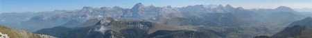
Ne pas oublier de jeter un oeil ŕ ces 2 pičces :
Panorama 9289 ŕ 9318 de 360°
de Saint-Apôtre ŕ Durbonas le matin

Panorama 9376 ŕ 9388 de 180°
des Armets ŕ Durbonas l'aprčs-midi
|