| - Canon PS A710 (200x) | |
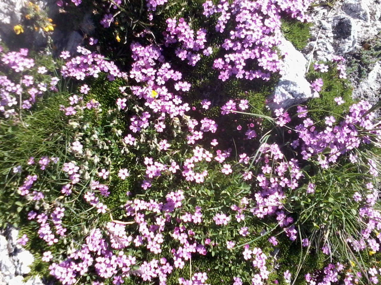
IMG_6081_08h06.JPG (2.26 MO) 1944 x 2592 au départ, des anémones à foison |
IMG_6082.JPG (2.33 MO) 1944 x 2592 |
IMG_6083.JPG (1.74 MO) 2592 x 1944 |
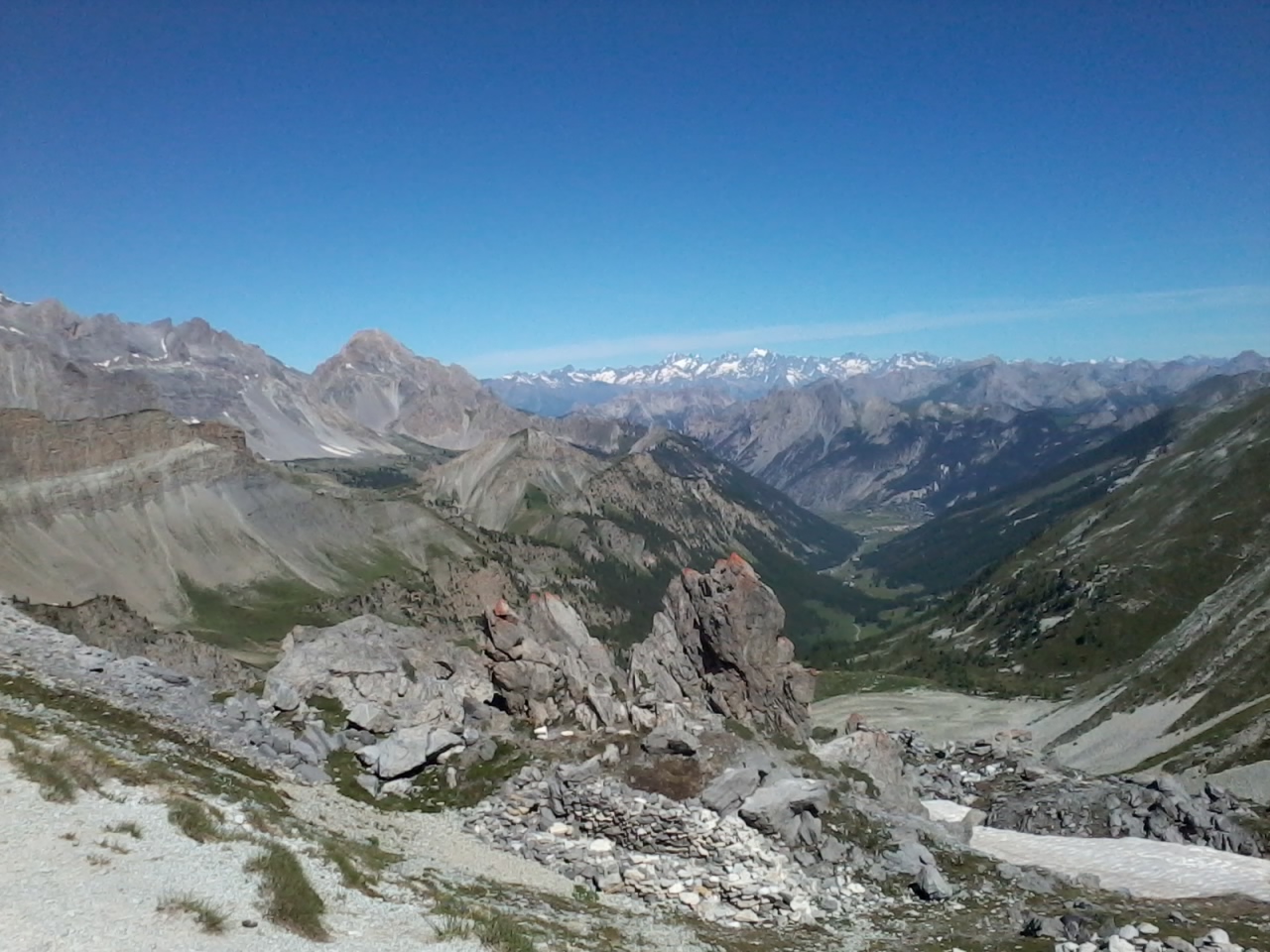
IMG_6084.JPG (1.67 MO) 2592 x 1944 à l'ouest, à g., le haut de la Combasse, verte voir notre rando faite à partir des chalets de Bramousse ( Crête de la Montagne de Riou Vert ) |
IMG_6085.JPG (1.76 MO) 2592 x 1944 au fond : Béal Traversier et vers Chalets de Furfande ? |
IMG_6086_08h37.JPG (2.04 MO) 2592 x 1944 |
IMG_6087.JPG (1.93 MO) 2592 x 1944 |
IMG_6088.JPG (2.35 MO) 2592 x 1944 |
IMG_6089_08h40.JPG (3.83 MO) 2592 x 1944 benoîte |
IMG_6090.JPG (1.85 MO) 2592 x 1944 |
IMG_6093_08h43.JPG (3.05 MO) 2592 x 1944 une paupiette |
IMG_6094.JPG (2.81 MO) 2592 x 1944 |
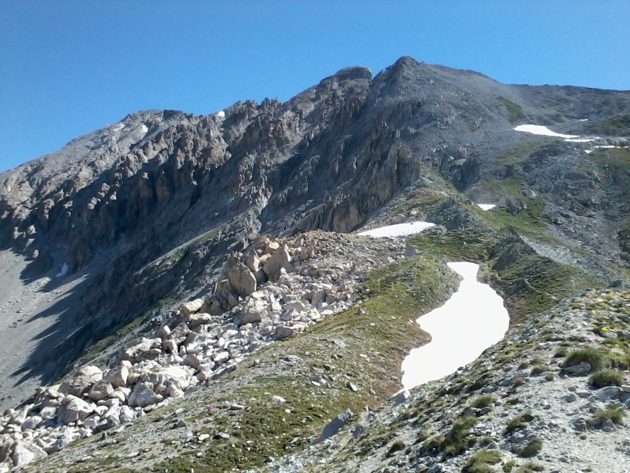
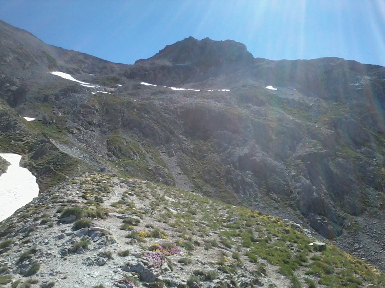
IMG_6095_08h49.JPG (2.3 MO) 2592 x 1944 le col Tronchet à ras et derrière notre bosse |
IMG_6096.JPG (2.18 MO) 2592 x 1944 |
IMG_6097.JPG (2.41 MO) 2592 x 1944 |
IMG_6098.JPG (2.7 MO) 2592 x 1944 |
IMG_6099.JPG (2.78 MO) 2592 x 1944 |
IMG_6100.JPG (2.61 MO) 2592 x 1944 |
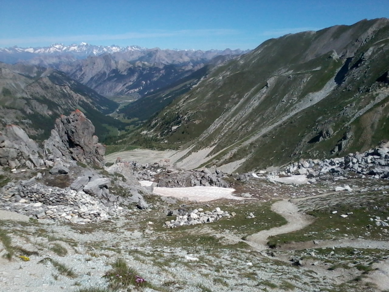
IMG_6101.JPG (2.39 MO) 2592 x 1944 au centre, le chemin qui mêne au Lac Ste Anne de notre chemin |
IMG_6102.JPG (2.26 MO) 2592 x 1944 Coste Belle |
IMG_6103.JPG (2.34 MO) 2592 x 1944 à g. le Pic de Guillestre ou Sommet d'Assan |
IMG_6104.JPG (2.2 MO) 2592 x 1944 |
IMG_6105.JPG (1.99 MO) 2592 x 1944 |
IMG_6106.JPG (1.96 MO) 2592 x 1944 |
IMG_6107.JPG (2.33 MO) 2592 x 1944 |
IMG_6108.JPG (2.05 MO) 2592 x 1944 |
IMG_6109.JPG (2.07 MO) 2592 x 1944 |
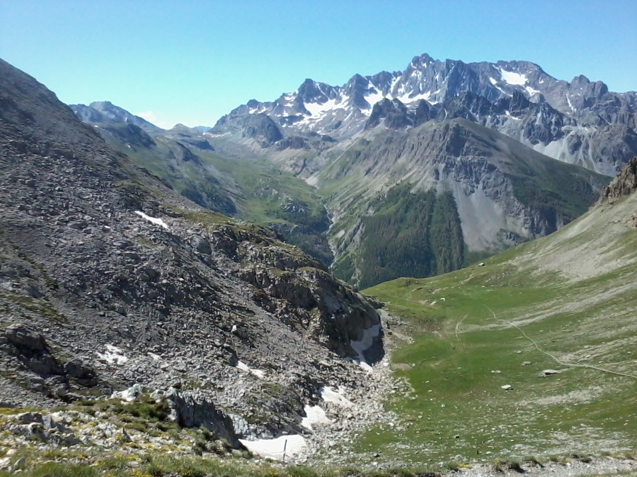
IMG_6110.JPG (1.95 MO) 2592 x 1944 Pic de Guillestre, Sommet de Bouchet et col de la Combasse |
IMG_6111.JPG (1.84 MO) 2592 x 1944 |
IMG_6112.JPG (1.7 MO) 2592 x 1944 au centre, la Dent du Ratier |
IMG_6113.JPG (1.86 MO) 2592 x 1944 |
IMG_6114.JPG (1.92 MO) 2592 x 1944 |
IMG_6115.JPG (1.13 MO) 2592 x 1944 |
IMG_6116.JPG (1.97 MO) 2592 x 1944 |
IMG_6119_08h54.JPG (3.66 MO) 2592 x 1944 on a entendu puis vu un chamois grisonnant à d. |
IMG_6120_08h58.JPG (3.33 MO) 2592 x 1944 je l'ai vu aux jumelles mais à priori raté en photo |
IMG_6121.JPG (1.47 MO) 2592 x 1944 dans ce coin là ... |
IMG_6122_09h08.JPG (2.42 MO) 2592 x 1944 |
IMG_6123.JPG (2.23 MO) 2592 x 1944 |
IMG_6124.JPG (2.06 MO) 2592 x 1944 |
IMG_6125.JPG (2.27 MO) 2592 x 1944 |
IMG_6126_09h23.JPG (2.67 MO) 2592 x 1944 saxifrages à feuilles opposées |
IMG_6127.JPG (1.73 MO) 2592 x 1944 de cet endroit, du casse-croûte, on a vu 7 "4 pattes" descendre de la neige, mais j'ai gâché les photos ! |
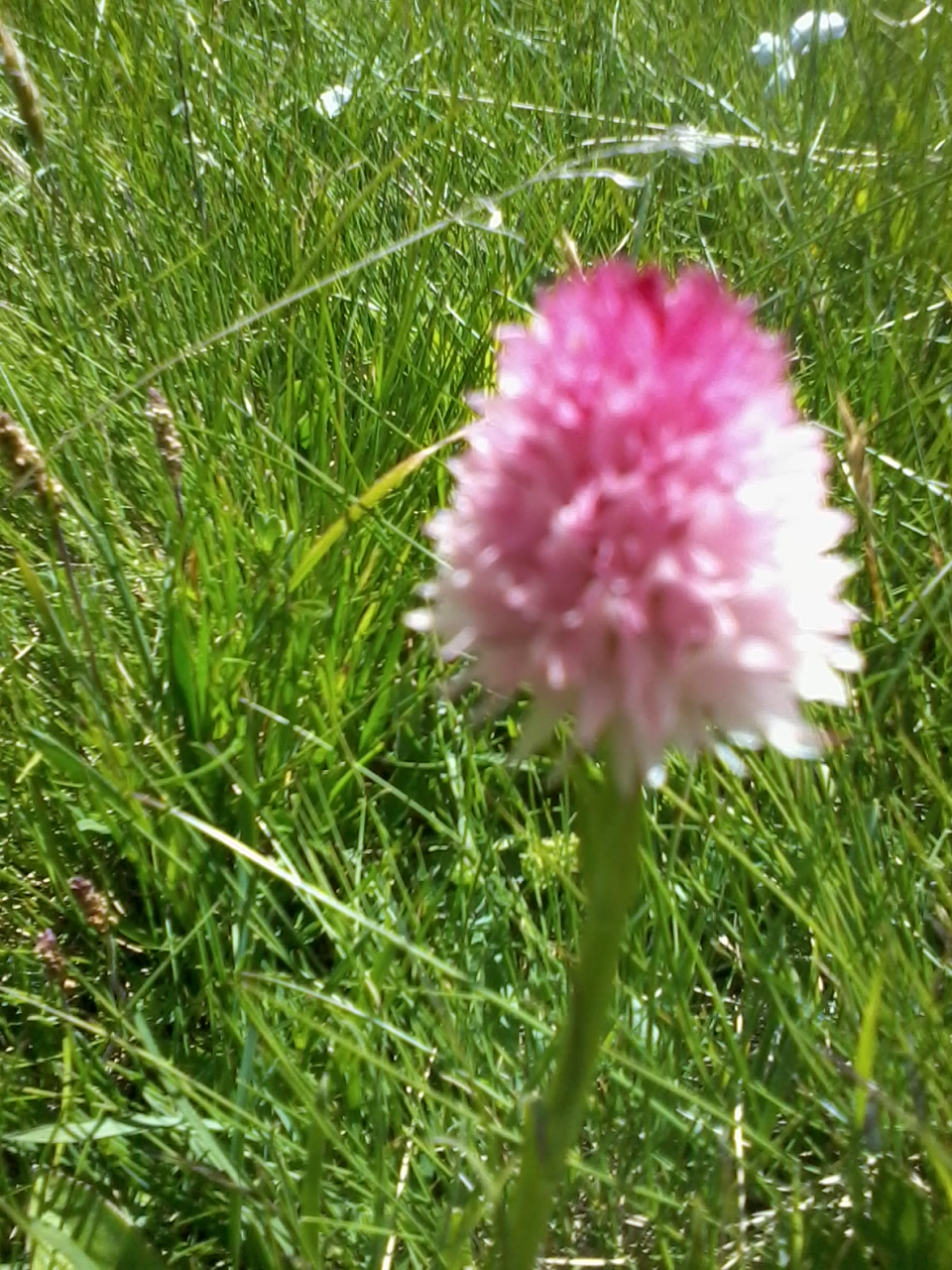
IMG_6128_10h04.JPG (2.16 MO) 2592 x 1944 plein de gentianes acaules pendant la montée, aussi |
IMG_6129.JPG (3.31 MO) 2592 x 1944 |
IMG_6130.JPG (1.79 MO) 1944 x 2592 |
IMG_6131.JPG (2.27 MO) 2592 x 1944 |
IMG_6132_10h13.JPG (2.83 MO) 1944 x 2592 botryche lunaire ou langue de cerf, avant floraison |
IMG_6133.JPG (2.86 MO) 2592 x 1944 on en a vu pas mal ici, même pendant la descente |
IMG_6134.JPG (3.2 MO) 2592 x 1944 |
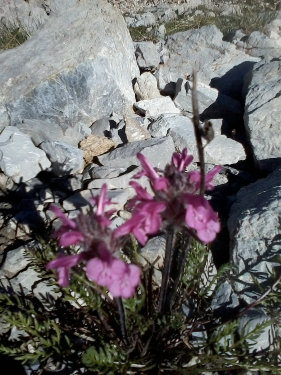
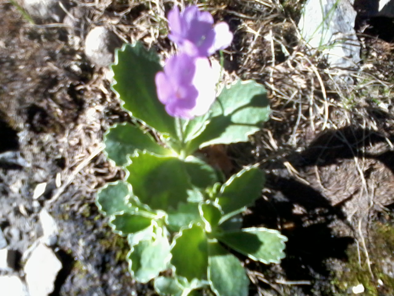
IMG_6135_10h20.JPG (3.11 MO) 2592 x 1944 et là, en arrivant au plus gros rocher, la surprise |
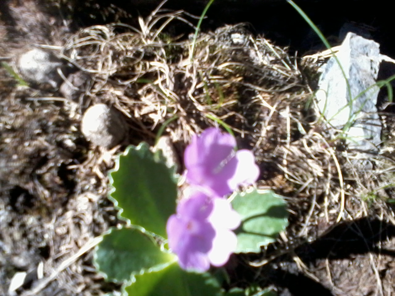
IMG_6136.JPG (2.74 MO) 2592 x 1944 plein de "marginées" mais pas des primevères ! ??? |
IMG_6137.JPG (2.44 MO) 2592 x 1944 |
IMG_6141_10h30.JPG (2.58 MO) 2592 x 1944 |
IMG_6142.JPG (2.14 MO) 2592 x 1944 pic des Heuvières ? |
IMG_6143.JPG (2.05 MO) 2592 x 1944 |
IMG_6144.JPG (1.98 MO) 2592 x 1944 la Colette Verte à g. du Pas du Curé |
IMG_6145.JPG (1.83 MO) 2592 x 1944 au centre, la Tête de la Saume avec le Pas du Curé à sa g. |
IMG_6146.JPG @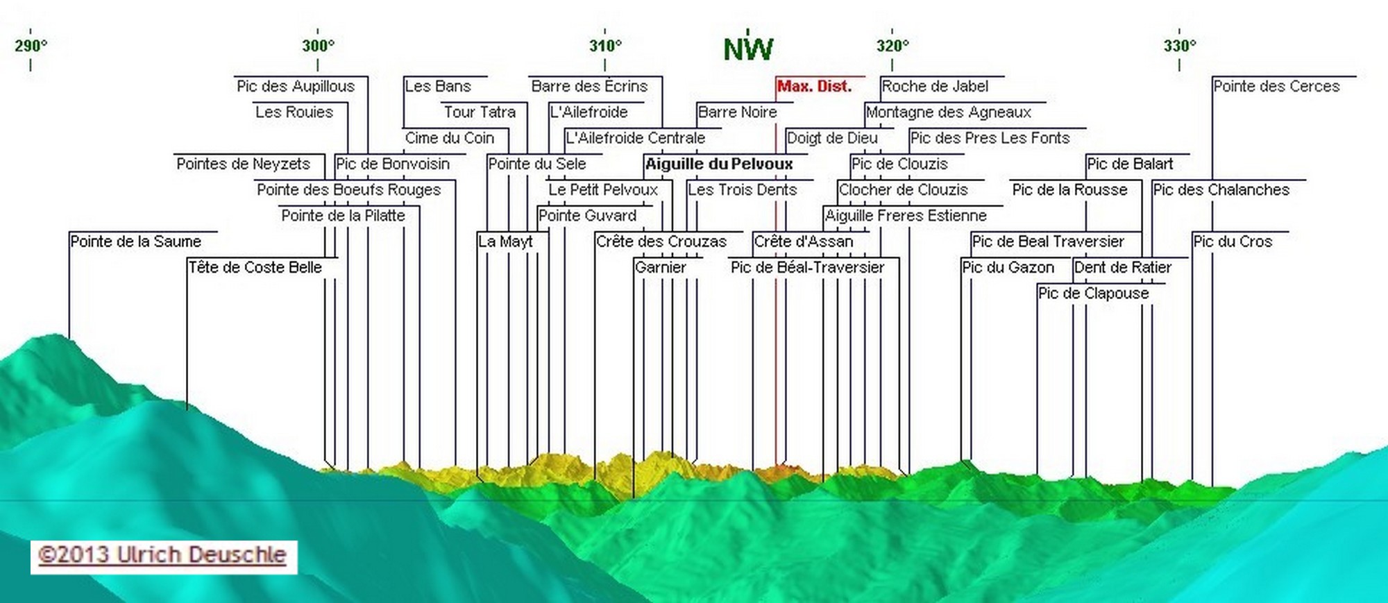 (1.81 MO) 2592 x 1944 cliquer ci-dessus pour les noms des sommets de 6146 à 6154 et là pour les 9 photos en grand format  |
IMG_6147.JPG  (1.83 MO) 2592 x 1944 |
IMG_6148.JPG (1.78 MO) 2592 x 1944 |
IMG_6149.JPG (1.78 MO) 2592 x 1944 |
IMG_6150.JPG (1.78 MO) 2592 x 1944 |
IMG_6151.JPG (1.69 MO) 2592 x 1944 |
IMG_6152.JPG (1.64 MO) 2592 x 1944 |
IMG_6153.JPG (1.65 MO) 2592 x 1944 |
IMG_6154.JPG (1.72 MO) 2592 x 1944 |
IMG_6155.JPG (2.12 MO) 2592 x 1944 |
IMG_6156.JPG (1.97 MO) 2592 x 1944 |
IMG_6157_10h33.JPG (2.12 MO) 2592 x 1944 |
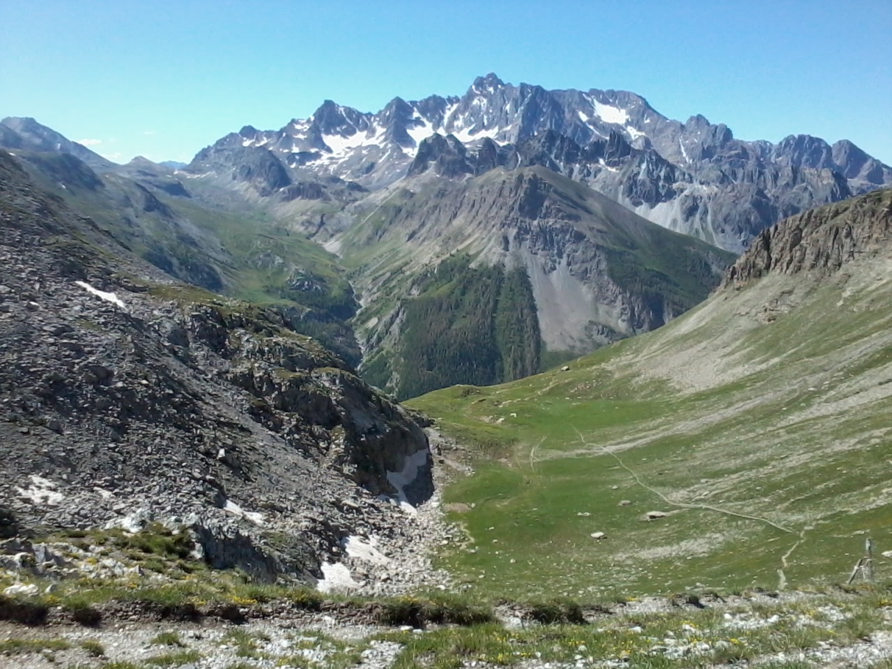
IMG_6158_10h37.JPG (2.43 MO) 2592 x 1944 là c'est quasi plein est, vers le Longet |
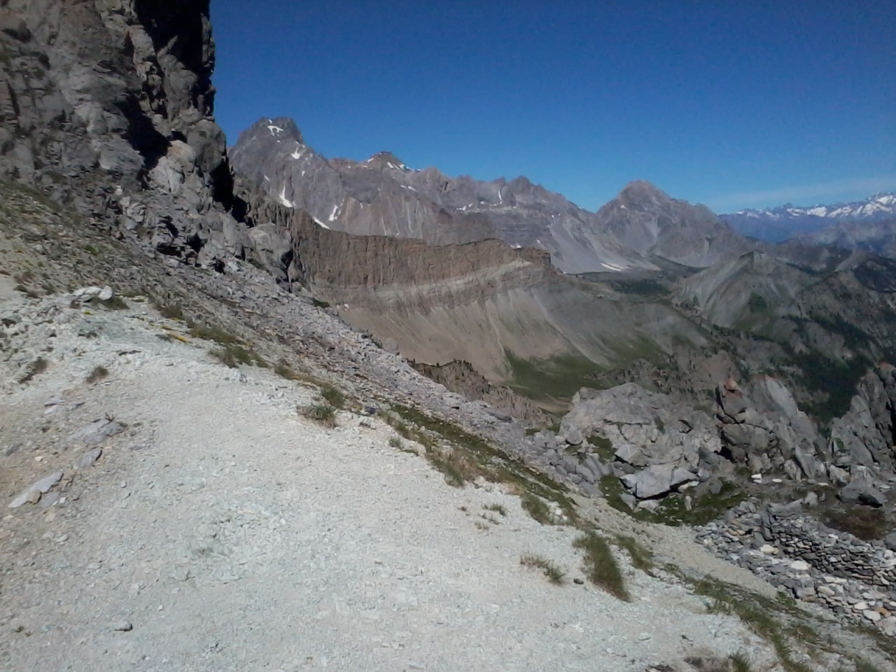
IMG_6159.JPG (2.5 MO) 2592 x 1944 Rocher de l'Eissassa à l'arrière |
IMG_6160.JPG (2.59 MO) 2592 x 1944 |
IMG_6161.JPG (2.57 MO) 2592 x 1944 |
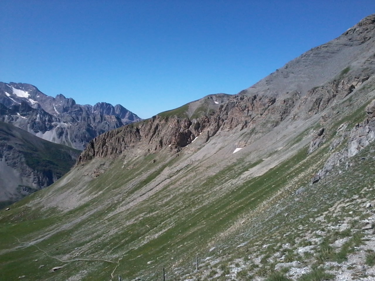
IMG_6162.JPG @ (2.39 MO) 2592 x 1944 le col Tronchet droit devant |
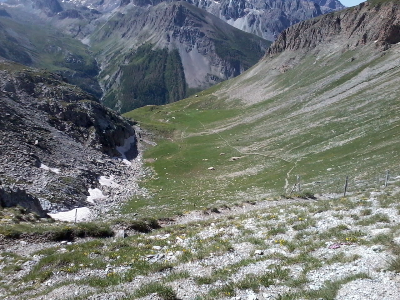
IMG_6163.JPG (2.14 MO) 2592 x 1944 au centre, dans la blanche, vus les 7 " 4 pattes " |
IMG_6164.JPG (2.09 MO) 2592 x 1944 direction la Tête de Girardin |
IMG_6165.JPG (2.15 MO) 2592 x 1944 |
IMG_6166.JPG (2.8 MO) 2592 x 1944 |
IMG_6167.JPG (2.55 MO) 2592 x 1944 Ceillac |
IMG_6168.JPG (1.95 MO) 2592 x 1944 le Pas du Curé |
IMG_6169.JPG (1.95 MO) 2592 x 1944 |
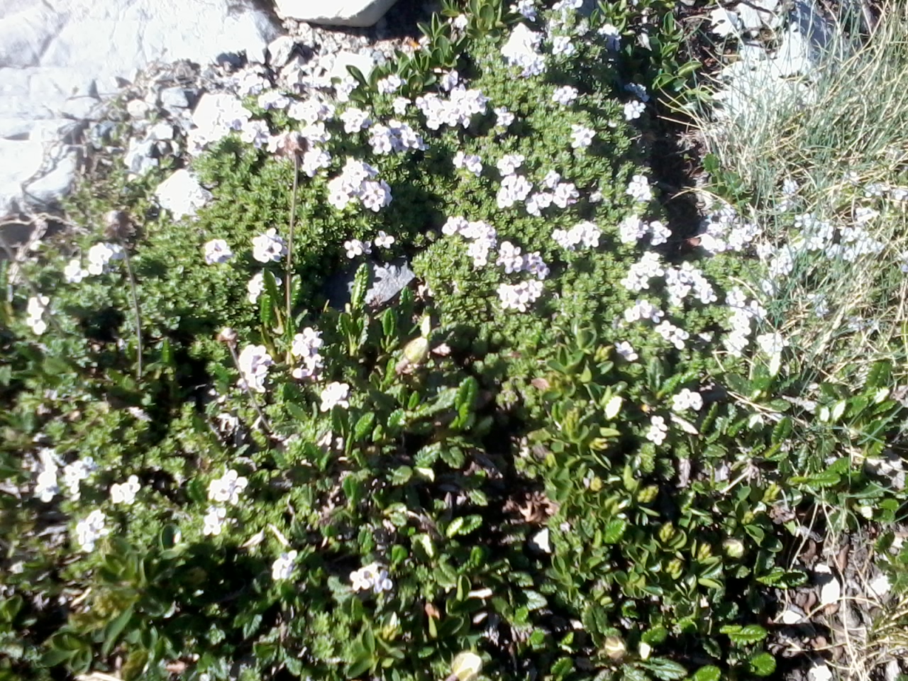
IMG_6170.JPG (2.92 MO) 2592 x 1944 le rocher du repas, plein de "marginées" |
IMG_6171.JPG (2.43 MO) 2592 x 1944 quasiment au centre, près des grosses pierres, l'endroit où on a vu le chamois et au fond, le chalet avec des trucs verts à d. |
IMG_6172_11h52.JPG (2 MO) 2592 x 1944 le groupe que l'on va voir en formation plus loin, dommage pour les photos, j'ai dû m'endormir !!! |
IMG_6173_13h57.JPG (2.34 MO) 2592 x 1944 on a mangé vers 11h00, on est reparti, notre bosse au retour |
IMG_6174_14h04.JPG (2.26 MO) 2592 x 1944 |
IMG_6175.JPG (2.02 MO) 2592 x 1944 |
IMG_6176.JPG (1.94 MO) 2592 x 1944 |
IMG_6177_14h21.JPG (2.33 MO) 2592 x 1944 toujours les Heuvières je crois |
IMG_6178.JPG (2.45 MO) 2592 x 1944 |
IMG_6179.JPG (2.51 MO) 2592 x 1944 |
IMG_6180.JPG (2.32 MO) 2592 x 1944 |
trace.jpg @ 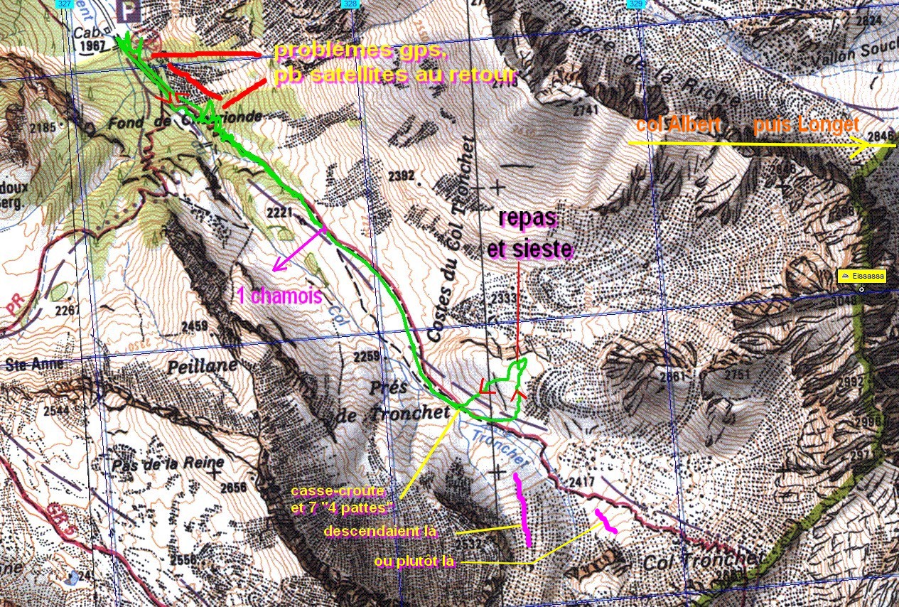 (716 KO) 1265 x 854 |
| |
|


 _Guest book