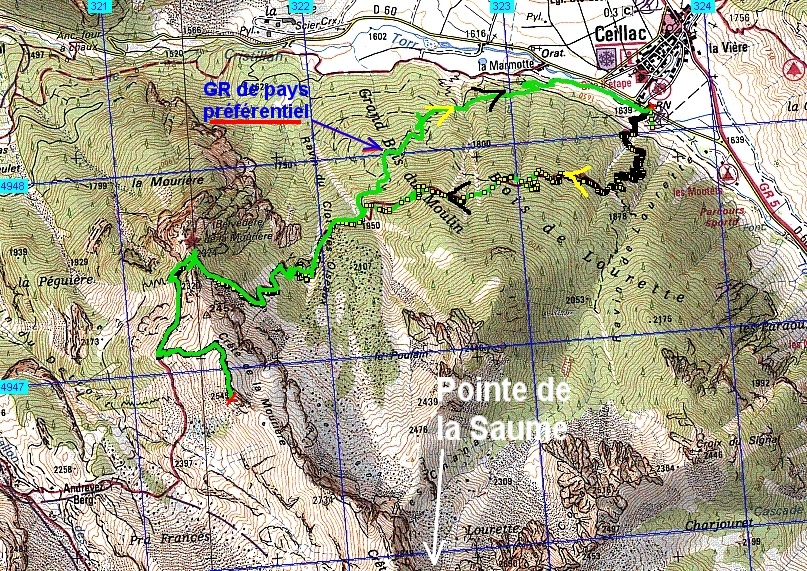
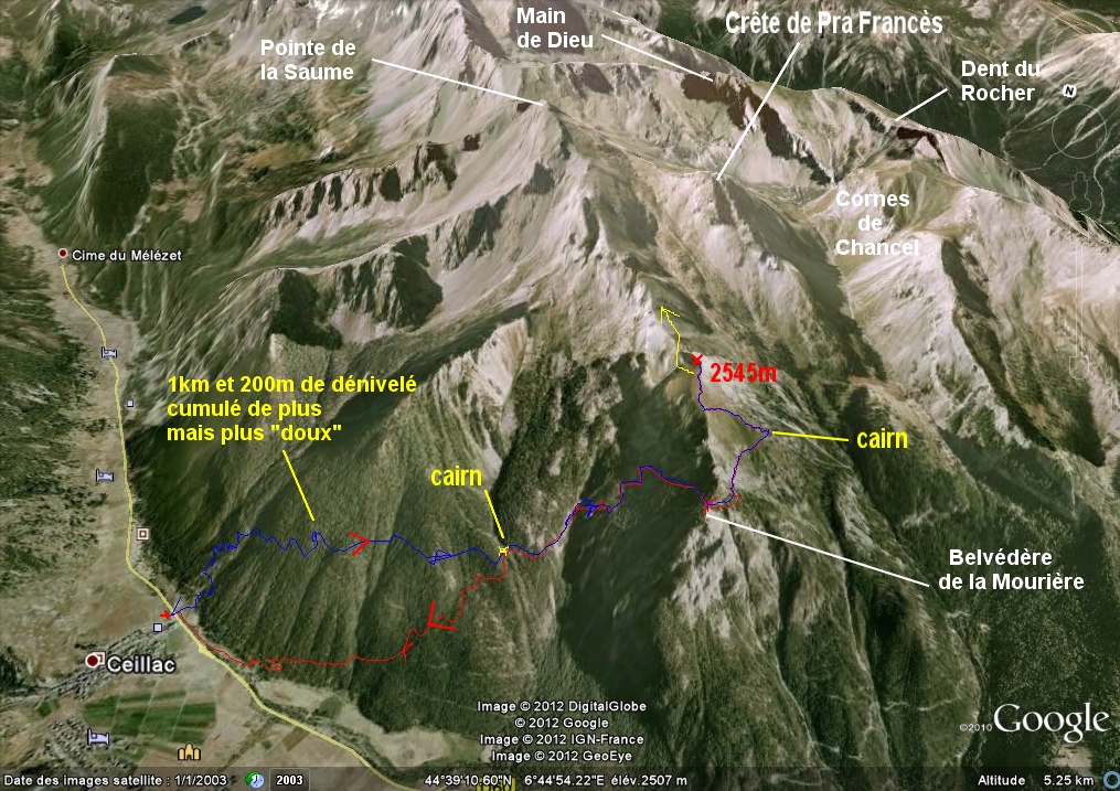
Cręte Mouričre ( vers Pte de la Saume ) – Ceillac (05) - - - 20/09/12
rajouté au 17/08/14 des photos prises du sommet de la Pointe de la Saume ŕ la suite de la rando initiale
________ici il n'y a que les imagettes, si une ou plusieurs photos vous intéressent en grand format,
merci de me faire un mail
Pour les noms des sommets,
on peut dire qu'ils sont bons ŕ 90%, s'il y a erreur, ŕ vous de corriger, au moins vous avez la direction !
Toute remarque constructive pour corriger les plus grosses
erreurs ici sera acceptée par bnbd05atyahoo.fr merci
* * * * * *
Attention
: d'abords un rappel
EN MONTAGNE, CHACUN
EST RESPONSABLE DE SA SÉCURITÉ.
Elle requiert également la conscience de ses propres capacités et de
ses limites propres, et implique par conséquent l'acceptation d'un
certain degré de risque.
Par conséquent, les randonnées se font
sous votre propre responsabilité. L'auteur de ce site ne peut pas
garantir l'exactitude ni l'exhaustivité des indications contenues dans
ce site.
Ces renseignements "gratuits" ne peuvent en aucun cas engager la
responsabilité de l'auteur.
* * * * * *
que l'on veuille prendre des photos ou juste regarder :
on arręte d'abords
de marcher
dans un passage délicat, comme avec rochers, avec ou sans cables,
quand la marche avant n'est pas aisée,
la marche
arričre peut ętre salutaire
|
Conscient que les
imagettes étaient vraiment trčs petites ou plutôt petites, jadis,
vous avez une page plus "dense", mais sans commentaires, cliquer --> ICI retour par page préc. |
|
aucun grand format d'image, sauf
repérée
@ , accčs par clic g. , retour par "page précédente",
|
| - Canon PS A710
(200x) Photos prises par l'Assistant Jean - pierre
avec son cousin Christian |
|
IMG_1346.JPG
(2.2 MO) 2592 x 1944 |
IMG_1347.JPG
(2.52 MO) 2592 x 1944 Ceillac |
IMG_1348.JPG
(1.73 MO) 2592 x 1944 on démarre sur Côte Belle vers Izoard ( aprčs réflexion ! ) |
IMG_1349.JPG
(1.67 MO) 2592 x 1944 Le Pic de Rochebrune dans la brume |
IMG_1350.JPG
(1.66 MO) 2592 x 1944 |
IMG_1351.JPG
(1.63 MO) 2592 x 1944 |
IMG_1352.JPG
(1.61 MO) 2592 x 1944 |
IMG_1353.JPG
(1.56 MO) 2592 x 1944 Sommet Bucher en bas ŕ d. |
IMG_1354.JPG
(1.59 MO) 2592 x 1944 |
IMG_1355.JPG
(1.61 MO) 2592 x 1944 |
IMG_1356.JPG
(1.63 MO) 2592 x 1944 |
IMG_1357.JPG
(1.55 MO) 2592 x 1944 ŕ g. je dirais Pointe de la Selle devant la Roche des Clots |
IMG_1358.JPG
(1.54 MO) 2592 x 1944 |
IMG_1359.JPG
(1.56 MO) 2592 x 1944 Pointe et Cręte de Rasis |
IMG_1360.JPG
(1.55 MO) 2592 x 1944 Col des Estronques, au premier plan, qui est en direction du Bric Bouchet |
IMG_1361.JPG
(1.52 MO) 2592 x 1944 Rond prčs de nous serait la Tęte de Jacquette Pic Malaure ou ( et ) Tęte de Pelvas derričre ? |
IMG_1362.JPG
(1.51 MO) 2592 x 1944 |
IMG_1363.JPG @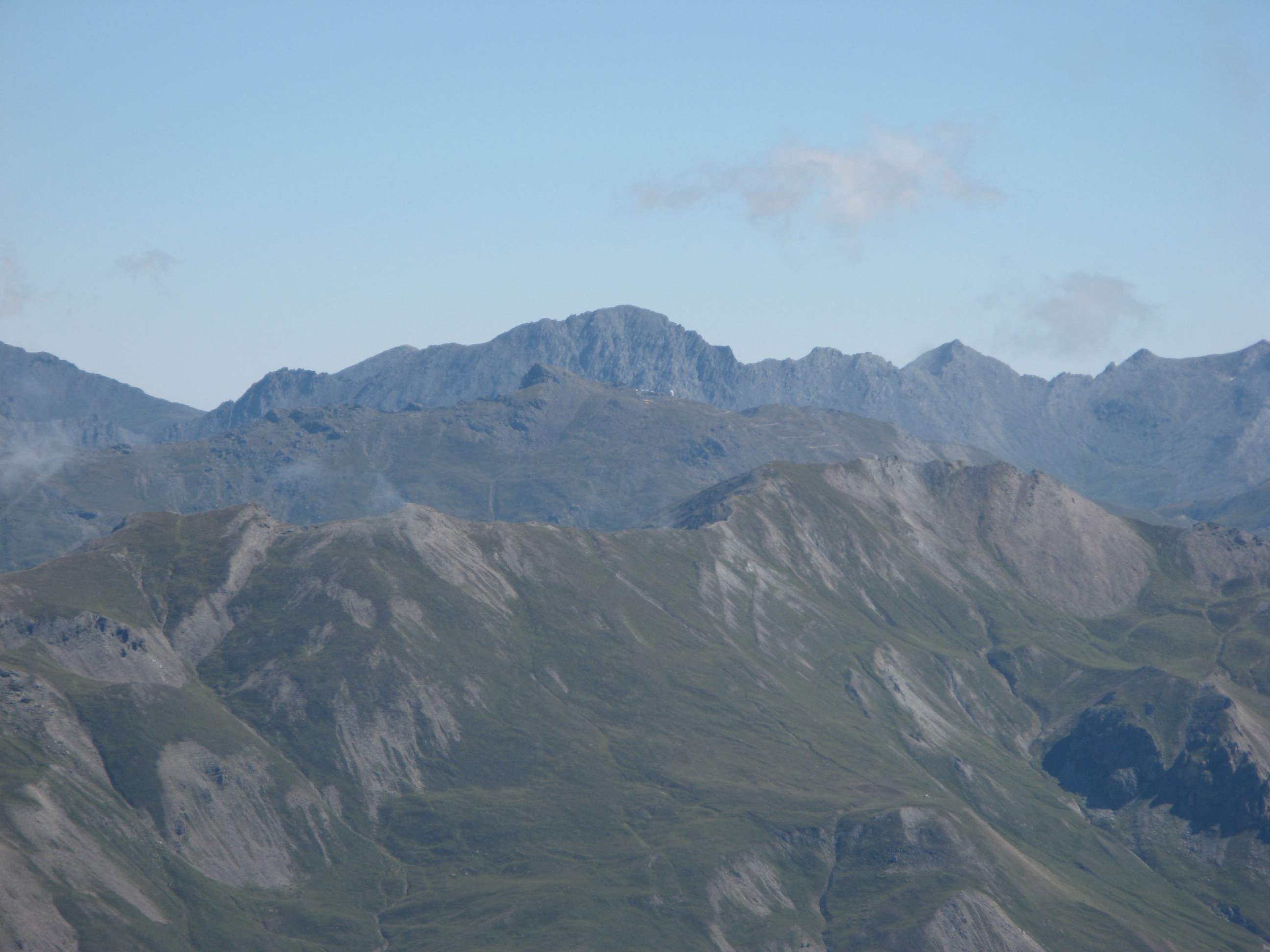
(1.55 MO) 2592 x 1944 Observatoire du Pic de Château Renard ŕ St Véran au centre devant le Grand Queyras |
IMG_1364.JPG
(1.53 MO) 2592 x 1944 |
IMG_1365.JPG @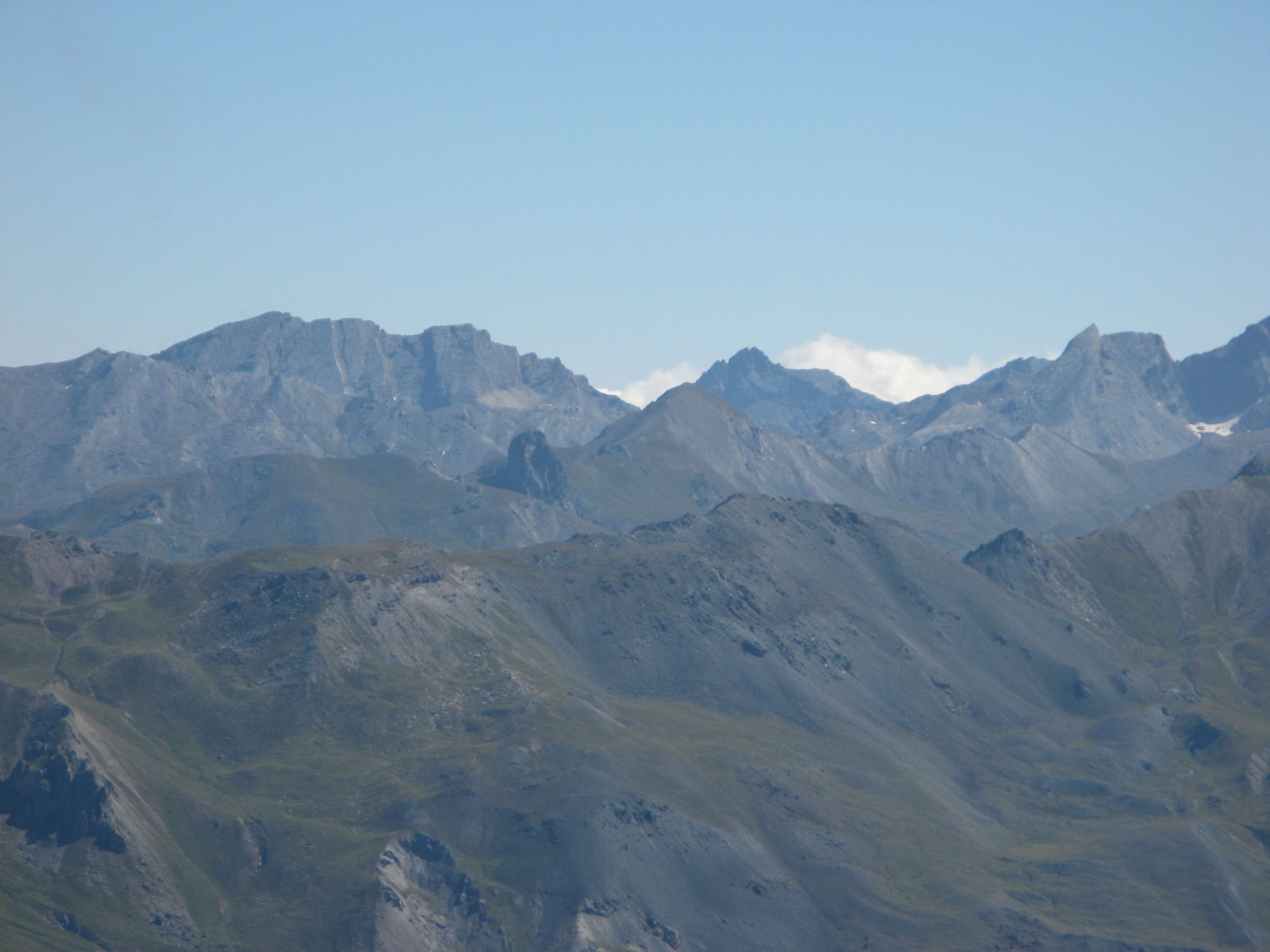
(1.55 MO) 2592 x 1944 au fond ŕ g. la Taillante, vers nous, au centre, le Rouchon ( qui n'a pas de trou ) et la Pointe des Sagnes Longues |
IMG_1366.JPG
(1.53 MO) 2592 x 1944 normalement, sur carte ( lŕ on dirait que non ) le Pain de Sucre ( en haut ŕ g. ) est aligné avec les Sagnes ! ?? |
IMG_1367.JPG
(1.48 MO) 2592 x 1944 Caramantran ici ŕ g. ? et Rocca Bianca dans la purée ? |
IMG_1368.JPG
(1.47 MO) 2592 x 1944 le Viso bien sűr ! avec du monde et j'ai du mal ŕ croire que c'est la Tęte des Toillies qui est ŕ ses pieds mais je ne la retrouve nulle part ailleurs ! |
IMG_1369.JPG
(1.47 MO) 2592 x 1944 |
IMG_1370.JPG
(1.48 MO) 2592 x 1944 Vallon de Longet au centre ? |
IMG_1371.JPG
(1.42 MO) 2592 x 1944 |
IMG_1372.JPG
(1.53 MO) 2592 x 1944 j'opterais pour la Tęte de Longet ŕ g. et le col Albert ŕ d. |
IMG_1373.JPG
(1.52 MO) 2592 x 1944 et le Péouvou derričre ŕ g. |
IMG_1374.JPG
(1.49 MO) 2592 x 1944 |
IMG_1375.JPG
(1.51 MO) 2592 x 1944 Aiguille Pierre André ??? ŕ d. |
IMG_1376.JPG
(1.49 MO) 2592 x 1944 |
IMG_1377.JPG
(1.46 MO) 2592 x 1944 Dommage, on arrivait au quartier du Brec de Chambeyron ... |
IMG_1378.JPG
(1.31 MO) 2592 x 1944 toute la Font Sancte dans la brume ......... |
IMG_1379.JPG
(1.46 MO) 2592 x 1944 |
IMG_1380.JPG
(1.37 MO) 2592 x 1944 |
IMG_1381.JPG
(1.58 MO) 2592 x 1944 Pic des Heuvičres ŕ l'arričre ? |
IMG_1382.JPG
(1.31 MO) 2592 x 1944 |
IMG_1383.JPG
(1.88 MO) 2592 x 1944 |
IMG_1384.JPG
(1.81 MO) 2592 x 1944 |
IMG_1385.JPG
(1.73 MO) 2592 x 1944 |
IMG_1386.JPG
(1.69 MO) 2592 x 1944 |
IMG_1387.JPG
(1.73 MO) 2592 x 1944 Pic de Panestrel ŕ g. ŕ l'arričre |
IMG_1388.JPG
(1.85 MO) 2592 x 1944 La Mortice ŕ g. Pointe Jean Rostand au centre |
IMG_1389.JPG
(1.9 MO) 2592 x 1944 |
IMG_1390.JPG
(2.06 MO) 2592 x 1944 |
IMG_1391.JPG
(2.04 MO) 2592 x 1944 |
IMG_1392.JPG
(1.66 MO) 2592 x 1944 Tęte de Paneyron ŕ g. au second plan ? |
IMG_1393.JPG @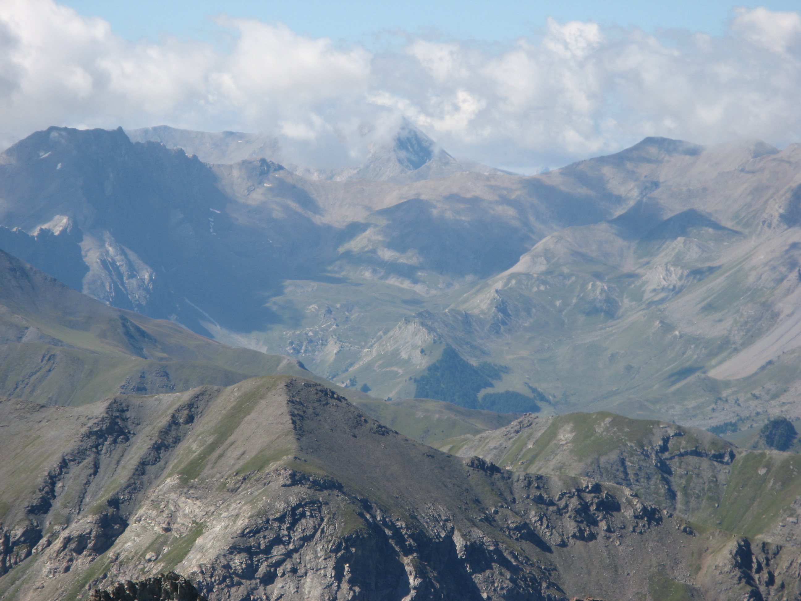
(1.82 MO) 2592 x 1944 et ce serait le Grand Bérard au fond au centre ? |
IMG_1394.JPG
(1.74 MO) 2592 x 1944 |
IMG_1395.JPG
(1.76 MO) 2592 x 1944 la Cręte de l'Eyssina ŕ d. |
IMG_1396.JPG
(1.6 MO) 2592 x 1944 |
IMG_1397.JPG
(1.93 MO) 2592 x 1944 au fond, derričre le Pic de Crévoux et le Col de Jaffueil c'est le quartier du Pouzenc ... |
IMG_1398.JPG @
(1.8 MO) 2592 x 1944 le Pic de Chabričres au centre d. avec la piste du km lancé ŕ g. |
IMG_1399.JPG
(1.77 MO) 2592 x 1944 ŕ la suite on aurait le Pic sans nom ( 2938 ) et le Pic St André |
IMG_1400.JPG
(1.68 MO) 2592 x 1944 |
IMG_1401.JPG
(1.66 MO) 2592 x 1944 |
IMG_1402.JPG
(1.68 MO) 2592 x 1944 |
IMG_1403.JPG @
(1.82 MO) 2592 x 1944 Risoul le Belvédčre de l'Homme de Pierre et le Pic du Clocher et le Mont Guillaume etc derričre |
IMG_1404.JPG
(1.85 MO) 2592 x 1944 |
IMG_1405.JPG
(1.51 MO) 2592 x 1944 |
IMG_1406.JPG
(1.54 MO) 2592 x 1944 |
IMG_1407.JPG @
(1.57 MO) 2592 x 1944 Clotinaille etc |
IMG_1408.JPG
(1.52 MO) 2592 x 1944 Cręte de Méan au centre |
IMG_1409.JPG
(1.59 MO) 2592 x 1944 La Tęte de Vautisse serait lŕ dans le nuage centre d. |
IMG_1410.JPG
(1.58 MO) 2592 x 1944 |
IMG_1411.JPG
(1.65 MO) 2592 x 1944 lŕ il y aurait la Roche Charničre ŕ g. avec sa prairie vers nous ( vue lors de la rando vers Vautisse ) et ŕ d. la Tęte de Gaulent et l'Aiguillas dans les nuages ( Sirac dans l'axe de Gaulent ? ) |
IMG_1412.JPG
(1.58 MO) 2592 x 1944 au centre g. les Rouies peut-ętre ? mais forme reconnaissable pour les initiés ! |
IMG_1413.JPG
(1.56 MO) 2592 x 1944 ici trop de monde pour moi ! Bancs, Gioberney ? |
IMG_1414.JPG
(1.56 MO) 2592 x 1944 |
IMG_1415.JPG
(1.58 MO) 2592 x 1944 Ailefroide Coup de Sabre Pic sans nom Pelvoux |
IMG_1416.JPG
(1.57 MO) 2592 x 1944 et le Glacier Blanc pas d'erreur |
IMG_1417.JPG
(1.54 MO) 2592 x 1944 |
IMG_1418.JPG
(1.52 MO) 2592 x 1944 les Aiguilles d'Arves in extręmis |
IMG_1419.JPG @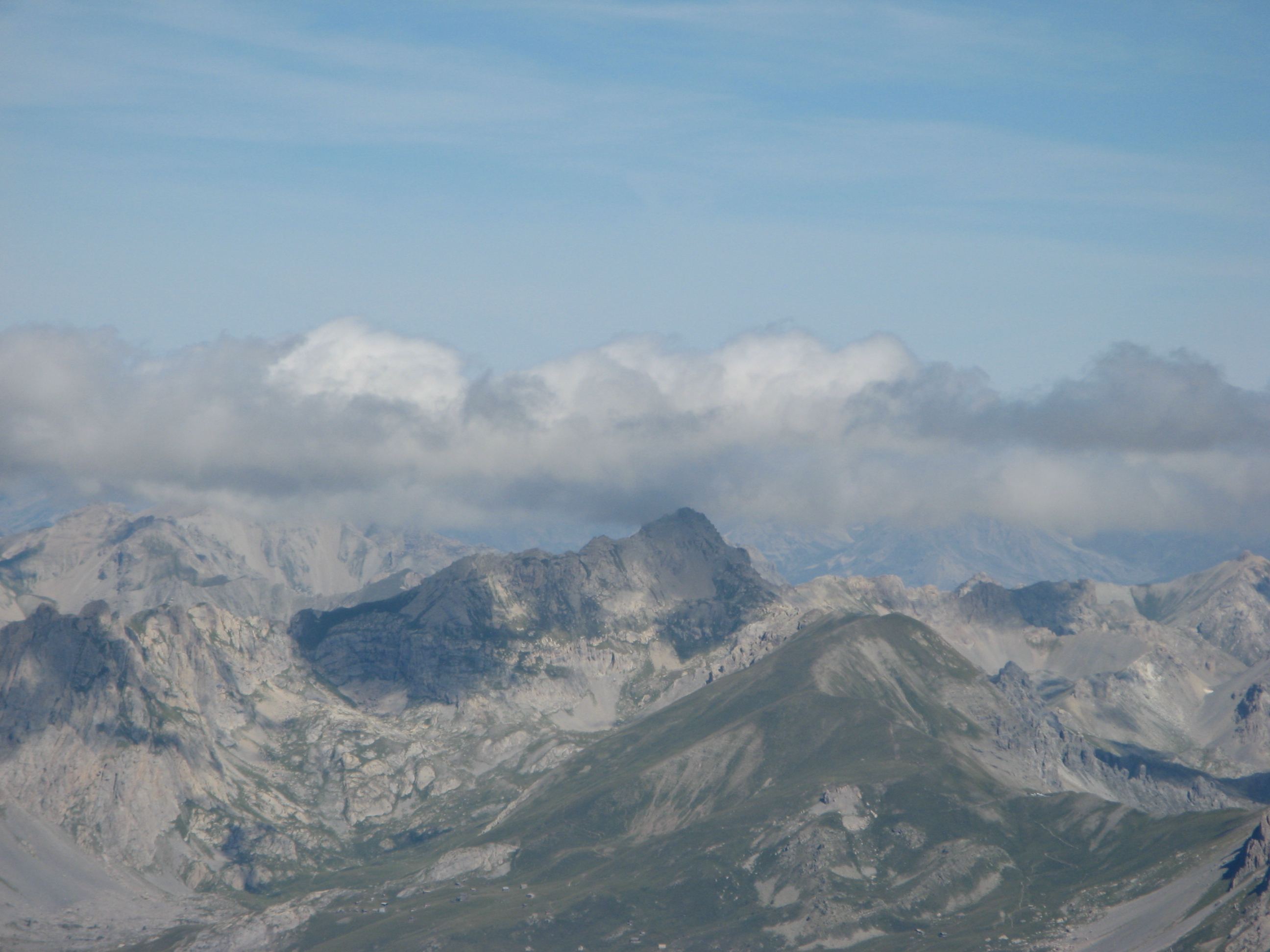
(1.56 MO) 2592 x 1944 les Chalets de Furfande en bas le Béal Traversier droit avec le bout sombre au centre |
IMG_1420.JPG
(1.68 MO) 2592 x 1944 la Dent de Ratier centre d. prčs de nous |
IMG_1421.JPG
(1.71 MO) 2592 x 1944 |
IMG_1422.JPG
(1.38 MO) 2592 x 1944 pas de souci JP moi je le fais aussi ( mais plus avec des herbes ou des branches d'arbres ) |
IMG_1423.JPG
(2.35 MO) 2592 x 1944 |
IMG_1424.JPG
(2.34 MO) 2592 x 1944 La Combasse ŕ g. |
IMG_1425.JPG
(2.35 MO) 2592 x 1944 la bosse que nous avions contourné ... |
IMG_1426.JPG
(2.24 MO) 2592 x 1944 Le Col de Bramousse |
IMG_1427.JPG
(2.39 MO) 2592 x 1944 Cręte du Château Jean Grossan |
IMG_1428.JPG
(2.59 MO) 2592 x 1944 |
IMG_1429.JPG @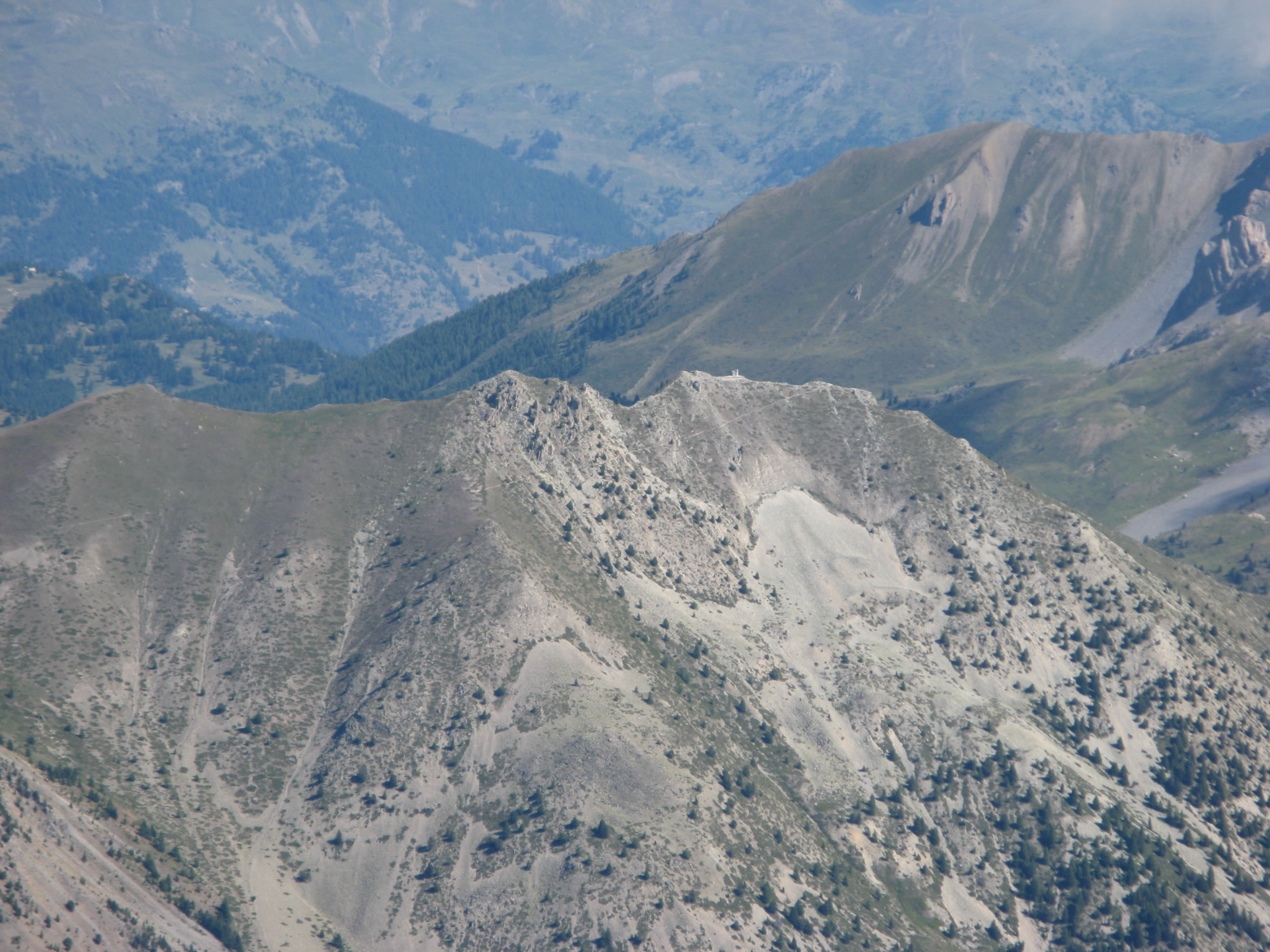
(2.13 MO) 2592 x 1944 "ancien poste optique" sur la Cręte des Chambrettes |
IMG_1430.JPG
(2.25 MO) 2592 x 1944 Le Col de Fromage |
IMG_1431.JPG
(2.39 MO) 2592 x 1944 Le Villard je présume et le GR58 ( route vers le parking "Les Claux --> Tęte de La Cula ) |
IMG_1432.JPG
(2.37 MO) 2592 x 1944 en bas, route vers parking Fond de Chaurionde ( Lac Ste Anne ) |
IMG_1433.JPG
(1.68 MO) 2592 x 1944 |
IMG_1434.JPG
(2.47 MO) 2592 x 1944 |
IMG_1435.JPG
(2.15 MO) 2592 x 1944 |
IMG_1436.JPG
(2.3 MO) 2592 x 1944 |
IMG_1437.JPG @
(2.12 MO) 2592 x 1944 Le Lac Miroir |
IMG_1438.JPG
(2.37 MO) 2592 x 1944 Lac des Rouites |
IMG_1439.JPG
(2.55 MO) 2592 x 1944 |
IMG_1440.JPG @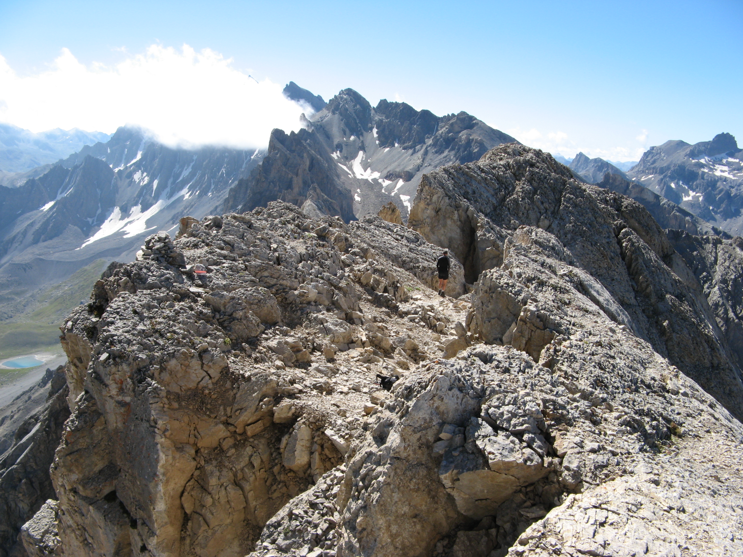
(2.58 MO) 2592 x 1944 malheureusement, on ne peut voir le Col de la Colette Verte, il est caché par ces blocs ! |
IMG_1441.JPG
(2.9 MO) 2592 x 1944 |
IMG_1442.JPG
(2.86 MO) 2592 x 1944 |
IMG_1443.JPG
(2.9 MO) 2592 x 1944 La Main de Dieu |
IMG_1444.JPG
(2.79 MO) 2592 x 1944 la Dent du Rocher en haut |
IMG_1445.JPG
(2.93 MO) 2592 x 1944 |
IMG_1446.JPG @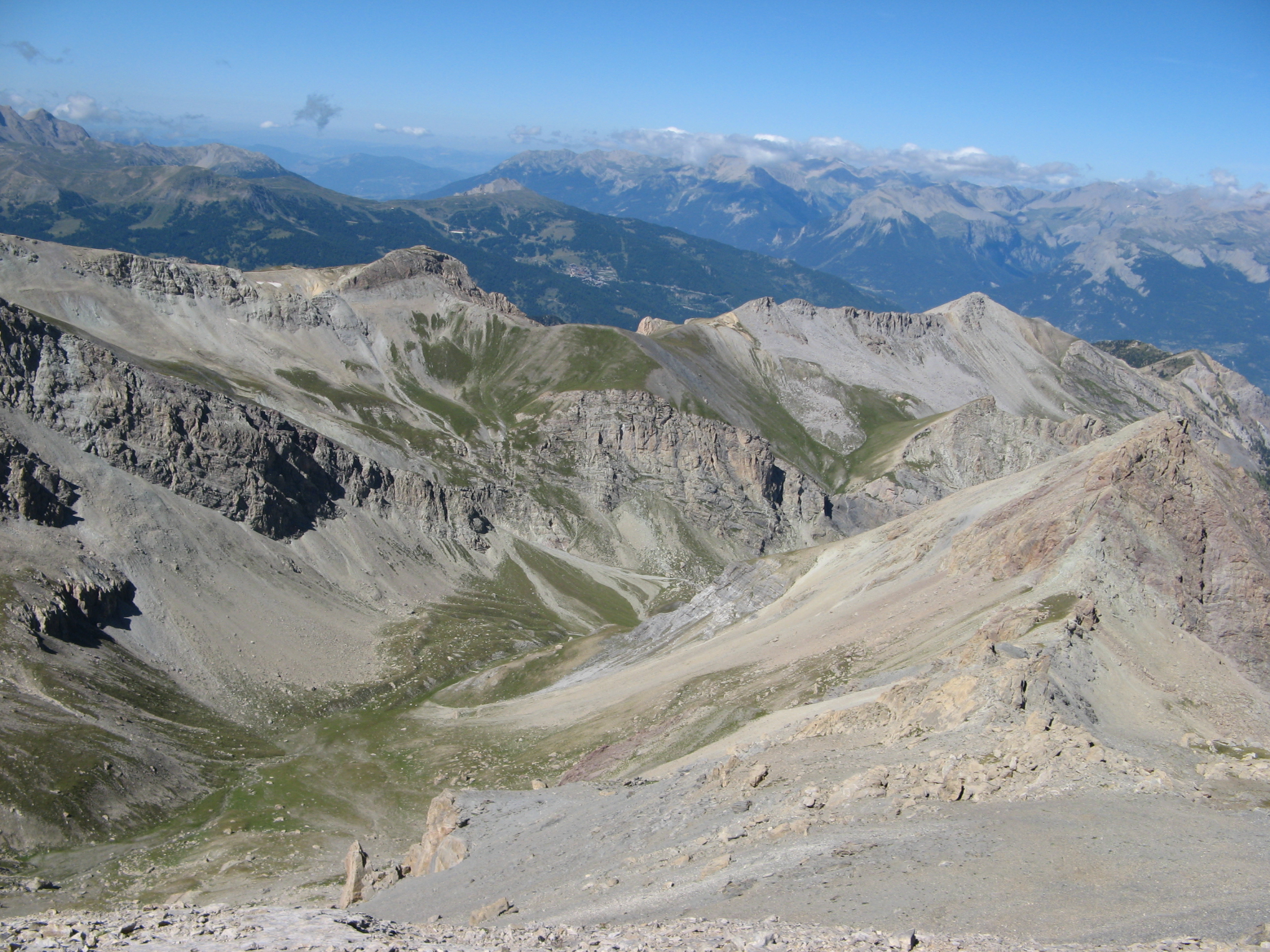
(2.41 MO) 2592 x 1944 le Pic d'Escreins ŕ d. au plan milieu et les Cornes de Chancel dessous |
IMG_1447.JPG
(2.16 MO) 2592 x 1944 |
IMG_1448.JPG
(2.58 MO) 2592 x 1944 |
IMG_1449.JPG
(2.24 MO) 2592 x 1944 |
IMG_1450.JPG
(2.39 MO) 2592 x 1944 la Cręte de Pra Frances devant nous |
IMG_1451.JPG
(2.72 MO) 2592 x 1944 et le chemin de descente en face ŕ d. |
IMG_1452.JPG
(2.4 MO) 2592 x 1944 |
IMG_1453.JPG
(1.87 MO) 2592 x 1944 |
IMG_1454.JPG
(2.89 MO) 2592 x 1944 derničre photo en haut avant repas et descente,... invisible, le chemin vers le pas du curé est plus vers nous et ŕ g. ! |
IMG_1455.JPG
(2.77 MO) 2592 x 1944 pendant la decente |
IMG_1456.JPG
(2.22 MO) 2592 x 1944 un dernier zoom ŕ d. puis ŕ g. ----> |
IMG_1457.JPG
(2.32 MO) 2592 x 1944 2 personnes en haut sans doute celles croisées |
IMG_1458.JPG
(2.59 MO) 2592 x 1944 le chemin du retour fait |
IMG_1459.JPG
(2.34 MO) 2592 x 1944 voilŕ Rochebrune dégagé au fond au centre et Côte Belle ŕ l'extrémité g. ( lac Souliers ) derričre la Cręte d'Assan et la Tęte de Bouchet |
IMG_1460.JPG
(2.68 MO) 2592 x 1944 la salle ŕ manger de la ballade de la Cręte de la Mouričre |
|
|
|||
Page générée le 24/09/2012 Retour


 _Guest book